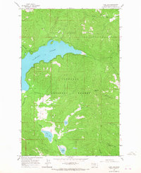
1964 Map of Lone Lake
USGS Topo · Published 1967About this map
Flathead National Forest dominates this mid-1960s terrain, where the expansive waters of Ashley Lake meet the steep topography of the Salish Mountains. The map reveals a remote landscape where logging and early rural settlement intersect, evidenced by a Gravel Pit near the southern shore and the Mountain View Sch positioned in a small clearing west of Hodge Creek. Water management and drainage are central to the area's character, with several smaller bodies of water like Lone Lake and Lake Monroe punctuating the dense forest cover. Elevations rise significantly toward the east at Boorman Peak, while a network of drainages including McMannamy Draw and Boorman Creek carry snowmelt through the timber. This survey is particularly useful for identifying early forest access routes, including a designated Pack Trail winding through the southern sections.
Find a feature on this map
16 named features on this map. Tap any name to fly to it.
Don’t see what you’re looking for? This feature index may not catch every label — zoom into the map to look around manually.
Map Details
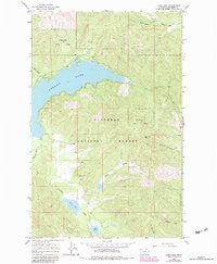
Editions of this 1964 Lone Lake Map
2 editions found
Other maps of this area

1943 · Kalispell
USGS Topo · 1:125,000

1957 · Kalispell
USGS Topo · 1:250,000

1960 · Kalispell
USGS Topo · 1:250,000

1961 · Kalispell
USGS Topo · 1:250,000

1962 · Kila
USGS Topo · 1:24,000

1962 · Blue Grass Ridge
USGS Topo · 1:24,000

1962 · Lost Creek Divide
USGS Topo · 1:24,000

1962 · Ashley Mountain
USGS Topo · 1:24,000

1962 · Rhodes
USGS Topo · 1:24,000
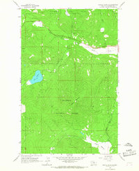
1964 · Haskill Mountain
USGS Topo · 1:24,000