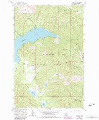
1964 Map of Lone Lake
USGS Topo · Published 1983About this map
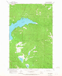
Stillwater State Forest and the Flathead National Forest dominate this 1964 survey of the Montana landscape, captured just before later 20th-century developments altered the local character. The geography is defined by significant water bodies, most notably Ashley Lake and the smaller Lone Lake and Lake Monroe to the south. The presence of the Mountain View Sch suggests a small, localized community supporting the timber or agricultural needs of the area.
Find a feature on this map
22 named features on this map. Tap any name to fly to it.
Don’t see what you’re looking for? This feature index may not catch every label — zoom into the map to look around manually.
Map Details
Editions of this 1964 Lone Lake Map
2 editions found
Other maps of this area

1943 · Kalispell
USGS Topo · 1:125,000

1957 · Kalispell
USGS Topo · 1:250,000

1960 · Kalispell
USGS Topo · 1:250,000

1961 · Kalispell
USGS Topo · 1:250,000

1962 · Kila
USGS Topo · 1:24,000

1962 · Blue Grass Ridge
USGS Topo · 1:24,000

1962 · Lost Creek Divide
USGS Topo · 1:24,000

1962 · Ashley Mountain
USGS Topo · 1:24,000

1962 · Rhodes
USGS Topo · 1:24,000
1964 · Lone Lake
USGS Topo · 1:24,000