Old Maps of Trailcreek, Montana for Academic Research
Study the evolution of Trailcreek with 13 high-resolution historic maps. Whether you're teaching, researching, or modeling changes in land use, these maps provide essential visual documentation of urban, environmental, and geographic change.
- Analyze long-term change: Track patterns in development, transportation, and natural features.
- Ideal for environmental or urban studies: Support academic projects with primary historical map data.
- Use in the classroom or lab: Educators and researchers rely on these maps to bring historical context to life.
These maps are a powerful tool for teaching, research, and visualizing how Trailcreek has changed over the decades.
Trailcreek, MT maps
(13)- 1906 Map of Kintla Lakes
 1906 Kintla Lakes1906 Print · USGSThe high peaks of the northern Rockies appear in sharp relief during the first years of the century, just south of the Canadian border. Genealogists and historians can locate early homesteads like Jefferson's Ranch and Christensen's Ranch alongside glacial features like Agassiz Glacier.4 unique versions available
 - 1938 Map of Kintla Lakes, 1954 Print
 1938 Kintla Lakes1954 Print · USGSThe northern reaches of the Montana Rockies are shown here during the early years of the National Park Service. Researchers can locate early homesteads and remote outposts like Brills Ranch, Polebridge, and Theo Christensen Ranch along the Flathead River.
 - 1957 Map of Kalispell, 1967 Print
 1957 Kalispell1967 Print · USGSNorthwest Montana in the late fifties showcases a mountain landscape transitioning between wilderness and industry. Genealogists and researchers can trace the Great Northern rail corridor through Kalispell and Whitefish, or locate landmarks like the Montana Soldiers Home and Hungry Horse Reservoir.3 unique versions available
 - 1960 Map of Kalispell
 1960 Kalispell1960 Print · USGSNorthwest Montana in the late fifties is defined by the mountain corridors of the Great Northern Railway and the vast reaches of Glacier National Park. Researchers can trace the legacy of timber and mining towns like Libby, Rexford, and Whitefish, or locate landmarks such as the Snowshoe Mine.
 - 1961 Map of Kalispell
 1961 Kalispell1961 Print · USGSNorthwestern Montana at the start of the 1960s shows a landscape of timber-driven rail towns and the sprawling wild lands of Glacier National Park. Genealogists and historians can trace the route of the Great Northern through mountain passes or locate old settlements like Fortine, Trego, and Warland.
 - 1966 Map of Trailcreek, 1971 Print
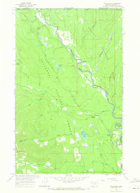 1966 Trailcreek1971 Print · USGSThe Montana borderlands meet British Columbia in the 1960s along the winding Flathead River (North Fork). Researchers can locate wilderness landmarks like the Kishenehn Patrol Cabin, the remote Landing Strip, and the settlement at Trailcreek.
 - 1981 Map of Whitefish Range, 1982 Print
 1981 Whitefish Range1982 Print · USGSThe Whitefish Range and Glacier National Park are shown here in the early eighties, documenting a massive wilderness landscape. Researchers can trace remote mountain outposts like Polebridge and rail-town history along the Burlington Northern near Trego and Olney.
 - 1994 Map of Trailcreek, 1997 Print
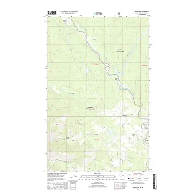
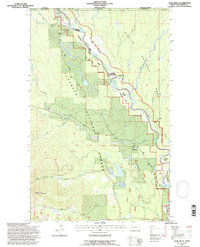 1994 Trailcreek1997 Print · USGSThe Montana borderlands in the mid-1990s reveal a landscape dominated by wilderness management and remote river corridors. Researchers can trace the isolated outposts of Trailcreek and Ford, the backcountry Landing Strip, and the winding North Fork Flathead River.
 - 2011 Map of Trailcreek, 2011 Print
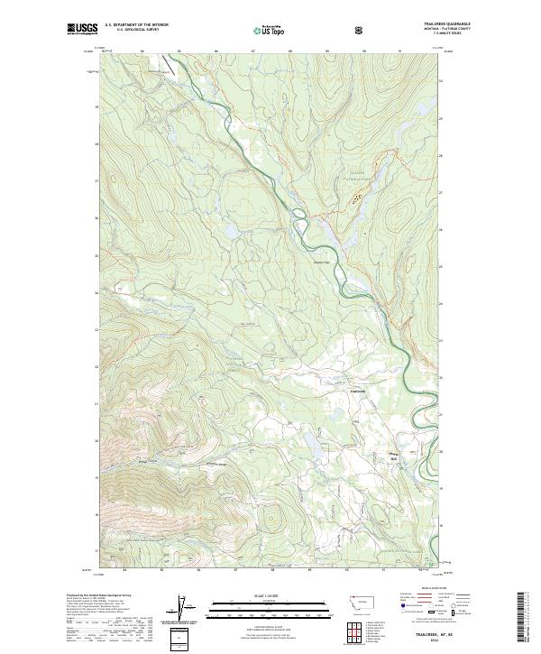
 2011 Trailcreek2011 Print · USGSCovers Trailcreek, including Ford, Moose City, and other nearby areas
 - 2014 Map of Trailcreek, 2014 Print
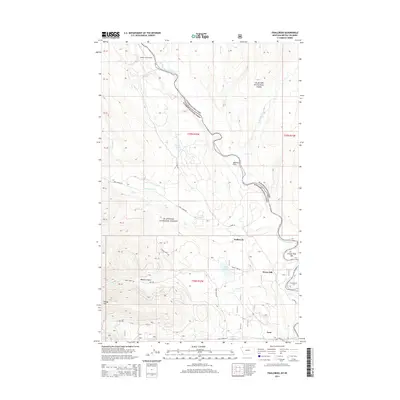 2014 Trailcreek2014 Print · USGSCovers Trailcreek, including Ford, Moose City, and other nearby areas
 - 2017 Map of Trailcreek, 2017 Print
 2017 Trailcreek2017 Print · USGSCovers Trailcreek, including Ford, Moose City, and other nearby areas
 - 2020 Map of Trailcreek, 2020 Print
 2020 Trailcreek2020 Print · USGSCovers Trailcreek, including Ford, Moose City, and other nearby areas
 - 2024 Map of Trailcreek, 2024 Print
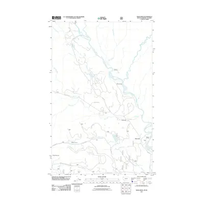
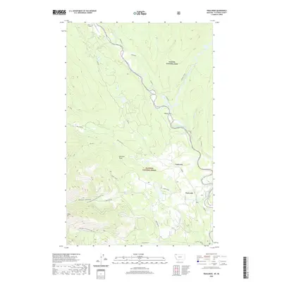
 2024 Trailcreek2024 Print · USGSThe northern reaches of the Flathead Valley are preserved here in the 2020s, where the river divides forest and parkland. Trace the remote settlement of Trailcreek, find the high-altitude Moose City Airport, and follow trails through Abbotts Flats.
End of results
Showing maps 1-13 of 13
Frequently asked questions
- What are the different types of historical maps available for Trailcreek?
- What is the oldest map of Trailcreek?
- Where can I purchase historical maps of Trailcreek for my home or office?
- Where can I download high-res historical maps of Trailcreek?
- Are there historical topographic maps available for Trailcreek?
- Is there historical aerial imagery available for Trailcreek?
- Where are historical maps of Trailcreek sourced from?