
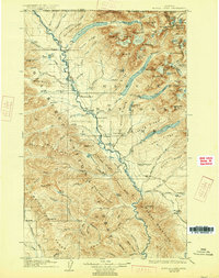
1906 Map of Kintla Lakes
USGS Topo · Published 1906About this map
Glacial ice and high mountain passes define the wild topography of this northern Montana landscape, surveyed during the first years of the twentieth century. The Continental Divide cuts through the northeast, separating the waters of the Flathead County side from Teton County. High-altitude glaciers such as Agassiz Glacier and Vulture Glacier overlook a series of long, deep water bodies including Kintla Lake and Bowman Lake. Much of the territory is protected within the Lewis and Clark Forest Reserve, where early human footprints are few and far between. Small outposts and homesteads like Jefferson's Ranch and Adair are positioned along the river valleys, while Butte Well and Kintla Well suggest early resource exploration near the international boundary with the Dominion of Canada. The map also captures the rugged path of the Whitefish Range and named summits like Kintla Peak and Rainbow Peak.
Find a feature on this map
83 named features on this map. Tap any name to fly to it.
Don’t see what you’re looking for? This feature index may not catch every label — zoom into the map to look around manually.
Map Details
Editions of this 1906 Kintla Lakes Map
4 editions found
Other maps of this area

1904 · Chief Mountain
USGS Topo · 1:125,000

1913 · Stryker
USGS Topo · 1:125,000

1914 · Nyack
USGS Topo · 1:125,000

1916 · Stryker
USGS Topo · 1:125,000

1938 · Chief Mountain
USGS Topo · 1:125,000

1938 · Kintla Lakes
USGS Topo · 1:125,000

1943 · Kalispell
USGS Topo · 1:125,000

1957 · Kalispell
USGS Topo · 1:250,000

1960 · Kalispell
USGS Topo · 1:250,000

1960 · Cut Bank
USGS Topo · 1:250,000