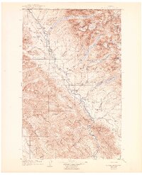
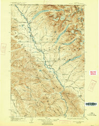
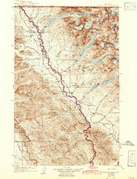
1906 Map of Kinta Lakes
USGS Topo · Published 1942About this map
Glacier National Park and the surrounding high country of the Whitefish Range define this 1906 survey, revised through 1938. The map centers on the Flathead River corridor, which served as a vital artery for early settlers and ranchers in this northern borderland. Small outposts and agricultural holdings like Brilla Ranch, Cummings Ranch, and the Theo Christensen Ranch are documented along the river's path, illustrating the early 20th-century footprint of human habitation before the full expansion of modern infrastructure.
Find a feature on this map
110 named features on this map. Tap any name to fly to it.
Don’t see what you’re looking for? This feature index may not catch every label — zoom into the map to look around manually.
Map Details
Editions of this 1906 Kinta Lakes Map
4 editions found
Other maps of this area

1904 · Chief Mountain
USGS Topo · 1:125,000

1906 · Kintla Lakes
USGS Topo · 1:125,000

1913 · Stryker
USGS Topo · 1:125,000

1914 · Nyack
USGS Topo · 1:125,000

1916 · Stryker
USGS Topo · 1:125,000

1938 · Chief Mountain
USGS Topo · 1:125,000

1938 · Kintla Lakes
USGS Topo · 1:125,000

1943 · Kalispell
USGS Topo · 1:125,000

1957 · Kalispell
USGS Topo · 1:250,000

1960 · Kalispell
USGS Topo · 1:250,000