1960s Maps of Glacier County, Montana
Explore 80 historic maps of Glacier County from the 1960s. These maps offer a rare glimpse into what life looked like during the 1960s — showing old roads, neighborhoods, homes, and landmarks that have changed or disappeared over time.
Whether you're researching your family's past, planning a metal detecting trip, or studying how Glacier County's landscape evolved across the 1960s, these high-resolution maps are a powerful tool for exploring the history of this region.
- Focus on a specific era: All maps on this page are from the 1960s, giving you a focused view of this time period.
- See what’s changed: Compare century-old streets, trails, and buildings to today's modern landscape using overlays and satellite layers.
- Research with precision: Use these maps for genealogy, historical research, land use analysis, or educational projects.
- View, download, or print: Maps are fully viewable online in high resolution, and can be downloaded or printed for your own records.
Start exploring Glacier County's history through authentic maps from the 1960s. This is your window into the past.
Glacier County, MT maps
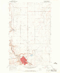
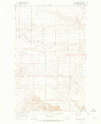
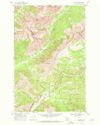
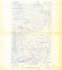
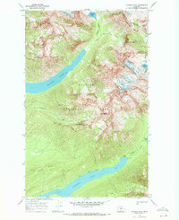
(80)- 1960 Map of Kalispell
 1960 Kalispell1960 Print · USGSNorthwest Montana in the late fifties is defined by the mountain corridors of the Great Northern Railway and the vast reaches of Glacier National Park. Researchers can trace the legacy of timber and mining towns like Libby, Rexford, and Whitefish, or locate landmarks such as the Snowshoe Mine.
 - 1960 Map of Cut Bank, 1968 Print
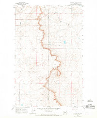
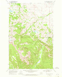
 1960 Cut Bank1968 Print · USGSThe high peaks of the Rockies meet the eastern plains in the 1960s, showing the intersection of federal lands and the Blackfeet Indian Reservation. Trace the path of the Great Northern railway and find local landmarks like the Blackfoot Boarding School and Family Mission Cem.3 unique versions available
 - 1961 Map of Kalispell
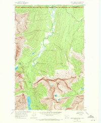
 1961 Kalispell1961 Print · USGSNorthwestern Montana at the start of the 1960s shows a landscape of timber-driven rail towns and the sprawling wild lands of Glacier National Park. Genealogists and historians can trace the route of the Great Northern through mountain passes or locate old settlements like Fortine, Trego, and Warland.
 - 1963 Map of Cut Bank
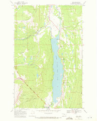
 1963 Cut Bank1963 Print · USGSNorthern Montana’s mountain passes and high plains are captured here in the early 1960s. Genealogists and historians can trace the Great Northern rail stops from Browning to Ethridge or locate the remote outposts at Polebridge and Babb.
 - 1964 Map of Cut Bank
 1964 Cut Bank1964 Print · USGSGlacier National Park and the Blackfeet Indian Reservation meet in the early sixties at the triple divide of North America. Researchers can trace the Great Northern Railway through mountain passes and locate local landmarks like the Blackfoot Boarding School and Apgar Village.
 - 1966 Map of Ethridge NW, 1969 Print
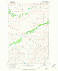
 1966 Ethridge NW1969 Print · USGSToole County's high plains and resource economy are captured here during the mid-1960s. Genealogists and industrial historians can trace early petroleum sites like Oil Wells and Gas Wells, as well as the path of the Pipeline through Sand Coulee.
 - 1966 Map of Boru Spring, 1969 Print
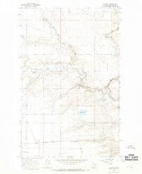
 1966 Boru Spring1969 Print · USGSThe high plains of the Glacier and Toole county border are captured here in the mid-1960s. Genealogists and researchers can trace the Great Northern rail line and locate the Marias Sch and numerous gas wells.
 - 1966 Map of Cut Bank, 1969 Print
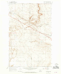
 1966 Cut Bank1969 Print · USGSThe high plains of Glacier County are captured here in the mid-1960s as the energy and rail industries shaped the local landscape. Researchers can trace the Great Northern rail lines and locate rural landmarks like Santa Rita, Meadowbrook Sch, and the Crown Hill Cem.2 unique versions available
 - 1966 Map of Cut Bank SE, 1969 Print
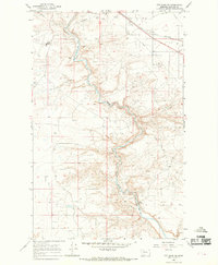 1966 Cut Bank SE1969 Print · USGSThe Blackfeet Indian Reservation border meets the industrial frontier of the mid-1960s along the winding Cut Bank Creek. Genealogists and historians can trace the Great Northern rail line and locate landmarks like the Rodeo Ground and Oil Wells.
 - 1966 Map of Squaw Buttes, 1969 Print
 1966 Squaw Buttes1969 Print · USGSGlacier County's high plains on the Blackfeet Indian Reservation appear here during the mid-sixties transition to modern industry. Trace the topography of the Squaw Buttes or locate mid-century landmarks like the Cut Bank Airport and scattered Gravel Pits.
 - 1966 Map of Gunsight, 1969 Print
 1966 Gunsight1969 Print · USGSThe Blackfeet Indian Reservation in the mid-1960s reveals a landscape of railroad operations and early energy infrastructure. Trace the Great Northern line through Gunsight or locate the Seville Community Hall near the banks of Cut Bank Creek.
 - 1968 Map of Ahern Pass, 1971 Print
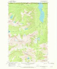
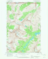
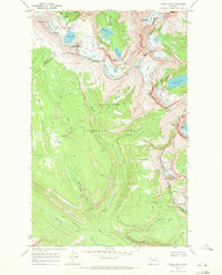 1968 Ahern Pass1971 Print · USGSGlacier National Park in the late 1960s showcases the dramatic intersection of the Continental Divide and early mountaineering infrastructure. Trace the legendary Going-To-The-Sun Road and find historical backcountry sites like the Granite Park Chalet and Fifty Mtn Shelter Cabin.3 unique versions available
 - 1968 Map of Saint Mary, 1971 Print
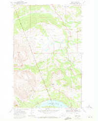
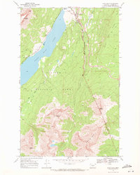 1968 Saint Mary1971 Print · USGSThe eastern gateway to the high Rockies is captured in the late sixties as visitors arrived at the Saint Mary entrance station. Trace early park infrastructure and tribal lands from the Going-To-The-Sun Road to the Blackfeet Indian Reservation Boundary.3 unique versions available
 - 1968 Map of Blacktail, 1971 Print
 1968 Blacktail1971 Print · USGSThe high Montana wilderness meets the iron rail in the late sixties along the Continental Divide. Researchers can trace the Burlington Northern line through the Theodore Roosevelt Stevens John Pass, finding snowsheds and the Fielding Patrol Cabin in the deep mountain canyons.2 unique versions available
 - 1968 Map of Half Dome Crag, 1971 Print
 1968 Half Dome Crag1971 Print · USGSThe Blackfeet Reservation and Glacier National Park borders meet in this 1960s wilderness survey. Local historians and hikers can trace the remote Palookaville (Site) and high peaks like Half Dome Crag and Little Plume Peak.2 unique versions available
 - 1968 Map of Gable Mountain, 1971 Print
 1968 Gable Mountain1971 Print · USGSThe international border and high wilderness are documented here in the late sixties. Trace backcountry routes like the Belly River Trail to find Ruins and the Belly River Ranger Sta in the shadow of Gable Mountain.4 unique versions available
 - 1968 Map of Babb, 1971 Print
 1968 Babb1971 Print · USGSBabb and the eastern edges of Glacier National Park appear in the late sixties as a crossroads of tribal land and federal wilderness. Researchers can trace the Saint Mary Canal and locate local landmarks like the Babb Sch and Cem.2 unique versions available
 - 1968 Map of Josephine, 1971 Print
 1968 Josephine1971 Print · USGSGlacier County's high ridges and river forks are documented here in the late sixties as they appeared within the Blackfeet Indian Reservation. Researchers can trace the settlement at Livermore and locate landmarks like Josephine Lake or the Gravel Pits near the river.2 unique versions available
 - 1968 Map of Porcupine Ridge, 1971 Print
 1968 Porcupine Ridge1971 Print · USGSThe international border between Montana and Alberta is captured here in the late sixties, where the high backcountry of two national parks converge. Hikers and historians can trace the Boulder Pass Trail to find isolated sites like the Boundary Warden Cabin and Waterton Ranger Sta.3 unique versions available
 - 1968 Map of Cut Bank Pass, 1971 Print
 1968 Cut Bank Pass1971 Print · USGSGlacier National Park in the late sixties centers on the critical intersection of the Continental Divide and the Triple Divide. Researchers can trace remote alpine trails and backcountry landmarks like the Cut Bank Ranger Sta and the high Pitamakan Pass.2 unique versions available
 - 1968 Map of Kiowa, 1971 Print
 1968 Kiowa1971 Print · USGSGlacier National Park and the Blackfeet Indian Reservation meet in this late-sixties landscape of high ridges and alpine creek forks. Researchers can locate the Schildt Cem, the settlement of Kiowa, and primitive routes like the Boy Trail.2 unique versions available
 - 1968 Map of Mount Cleveland, 1971 Print
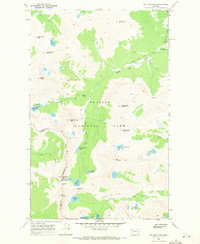
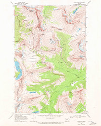
 1968 Mount Cleveland1971 Print · USGSGlacier National Park's high peaks and active glaciers are documented in the late sixties as they appeared before modern climatic shifts. Track the remote Stoney Indian Pass Trail past Glenns Lake and the Mokowanis Shelter Cabin.2 unique versions available
 - 1968 Map of Logan Pass, 1971 Print
 1968 Logan Pass1971 Print · USGSGlacier National Park's high-altitude core is captured in the late sixties as the modern tourism infrastructure met the rugged backcountry. Trace the famous Going-to-the-Sun Road past the Visitor Center to find the Cracker Mine and remote Patrol Cabin sites.2 unique versions available
 - 1968 Map of Vulture Peak, 1971 Print
 1968 Vulture Peak1971 Print · USGSGlacier National Park at the end of the sixties reveals a landscape of high alpine glaciers and deep glacial lakes. Trace the remote Continental Divide through the Livingstone Range and locate backcountry markers like the Patrol Cabin and Pack Trail.
 - 1968 Map of Piegan, 1972 Print
 1968 Piegan1972 Print · USGSThe Blackfeet Indian Reservation in the late 1960s is mapped here in detail, showing the intersection of irrigation and indigenous lands. Researchers can trace family roots at the Four Horns Cem and the Holy Family Mission, or follow the routes of the Piegan Canal and U. S. 2.
Showing maps 1-25 of 80
Top cities of Glacier County
Frequently asked questions
- What are the different types of historical maps available for Glacier County?
- What is the oldest map of Glacier County?
- Where can I purchase historical maps of Glacier County for my home or office?
- Where can I download high-res historical maps of Glacier County?
- Are there historical topographic maps available for Glacier County?
- Is there historical aerial imagery available for Glacier County?
- Where are historical maps of Glacier County sourced from?