2010s Maps of Glacier County, Montana
Explore 234 historic maps of Glacier County from the 2010s. These maps offer a rare glimpse into what life looked like during the 2010s — showing old roads, neighborhoods, homes, and landmarks that have changed or disappeared over time.
Whether you're researching your family's past, planning a metal detecting trip, or studying how Glacier County's landscape evolved across the 2010s, these high-resolution maps are a powerful tool for exploring the history of this region.
- Focus on a specific era: All maps on this page are from the 2010s, giving you a focused view of this time period.
- See what’s changed: Compare century-old streets, trails, and buildings to today's modern landscape using overlays and satellite layers.
- Research with precision: Use these maps for genealogy, historical research, land use analysis, or educational projects.
- View, download, or print: Maps are fully viewable online in high resolution, and can be downloaded or printed for your own records.
Start exploring Glacier County's history through authentic maps from the 2010s. This is your window into the past.
Glacier County, MT maps
(234)- 2011 Map of Mitten Lake, 2011 Print
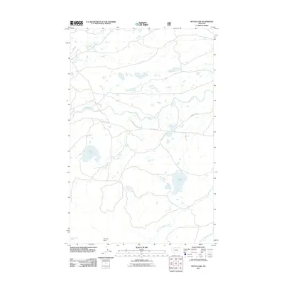 2011 Mitten Lake2011 Print · USGSGlacier County in the early twenty-first century is a landscape of glacial lakes and named trails that follow the natural drainage basins. Local history and geography buffs can trace routes like Heart Butte Rd and Running Crane Trl as they navigate the wetlands surrounding Mitten Lake and Horn Lake.
 - 2011 Map of Dancing Lady Mountain, 2011 Print
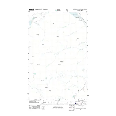 2011 Dancing Lady Mountain2011 Print · USGSBison and the surrounding peaks of Glacier County are documented here in the early twenty-first century. Researchers can trace the layout of the Two Medicine Campground, the engineering of the Lower Two Medicine Dam, and the trails leading through Firebrand Pass.
 - 2011 Map of Saint Mary, 2011 Print
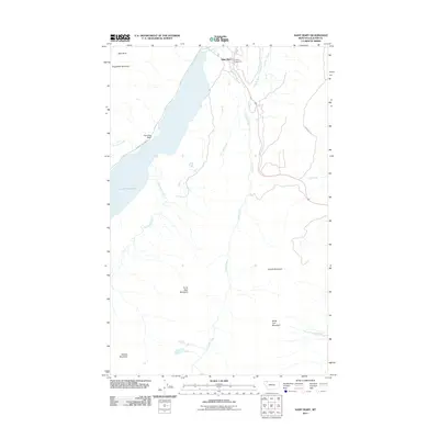 2011 Saint Mary2011 Print · USGSGlacier County's eastern mountain gateway is documented in the early twenty-first century as it borders the high peaks. Researchers can trace the path of Going To The Sun Rd near Saint Mary Lake and locate landmarks like Divide Mountain and Johnsons Campground.
 - 2011 Map of Headlight Butte, 2011 Print
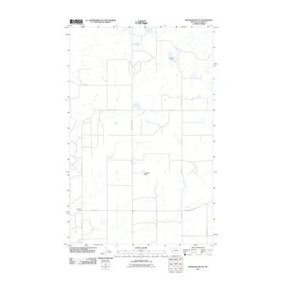 2011 Headlight Butte2011 Print · USGSGlacier County's high plains are captured here in the early twenty-first century, showing a landscape shaped by ranching and utility infrastructure. Researchers can trace local history through named routes like Winkler School Rd or locate Whetstone Camp and Omicron Dam.
 - 2011 Map of Fort Piegan, 2011 Print
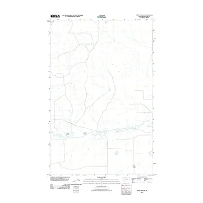 2011 Fort Piegan2011 Print · USGSHigh plains and prairie drainages define this Glacier County landscape during the early twenty-first century. Researchers can trace the winding course of Cut Bank Creek and identify local landmarks like Antelope Butte, Cobell Coulee, and the site of Fort Piegan.
 - 2011 Map of Mount Rockwell, 2011 Print
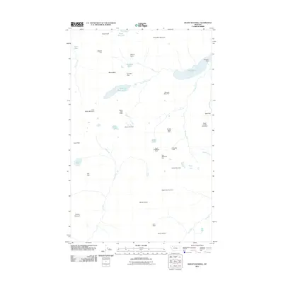 2011 Mount Rockwell2011 Print · USGSThe high Montana Rockies come into sharp focus in this early twenty-first-century survey of the continental divide. Researchers can trace natural mountain corridors through Dawson Pass and Two Medicine Pass or locate landmarks like Rockwell Falls.
 - 2011 Map of Browning, 2011 Print
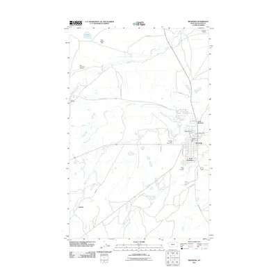 2011 Browning2011 Print · USGSBrowning and the Blackfeet Reservation are shown here in the early twenty-first century, detailing the tri-part settlement of the town. Researchers can locate specific community landmarks like Birdrattler Cemetery, the Blackfeet Agency, and Durham.
 - 2011 Map of Kipp Lake, 2011 Print
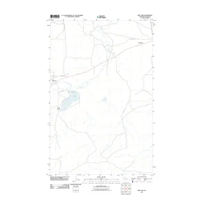 2011 Kipp Lake2011 Print · USGSThe Glacier County high plains are documented here just after the first decade of the millennium, showing the rural landscape around Blackfoot and Meriwether. Researchers can trace local landmarks like Kipp Lake and the paths of Bad Eyes Rd and the Blackfoot Cutoff.
 - 2011 Map of Cut Bank Pass, 2011 Print
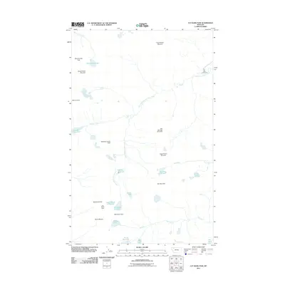 2011 Cut Bank Pass2011 Print · USGSHigh alpine passes and glacial lakes define this Montana landscape as it appeared in the early twenty-first century. Researchers can trace remote routes through Cut Bank Pass and locate secluded features like Seven Winds of the Lake and Atlantic Falls.
 - 2011 Map of Rock City, 2011 Print
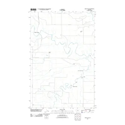 2011 Rock City2011 Print · USGSPondera County and the Blackfeet Indian Reservation are captured here in the early twenty-first century, showing a landscape defined by cattle ranching and coal mining history. Researchers can trace the riverbanks for Shields Crossing and Blair Crossing, or locate old workings at the Kennedy Mine and Slezak Mine.
 - 2011 Map of Many Glacier, 2011 Print
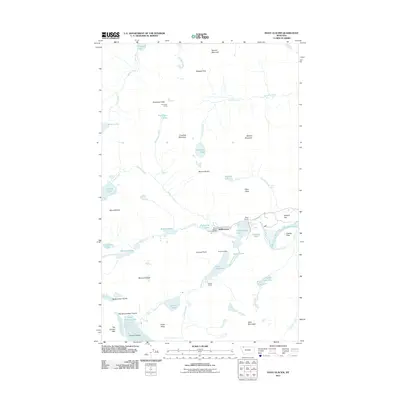 2011 Many Glacier2011 Print · USGSThe high alpine country of Flathead County comes into focus in this modern era, highlighting the intersection of wilderness and mountain infrastructure. Researchers can trace the legacy of the Josephine Mine, the Ptarmigan Tunnel, and the historic visitor site at Many Glacier.
 - 2011 Map of Ahern Pass, 2011 Print
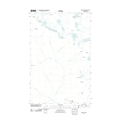 2011 Ahern Pass2011 Print · USGSThe high Continental Divide in northwest Montana is captured here just over a decade ago, showcasing a wilderness of glaciers and peaks. Hikers and historians can trace the route of the Going To The Sun Rd or locate remote sites like the Fifty Mountain Shelter Cabin and Ahern Pass.
 - 2011 Map of Glacier Colony, 2011 Print
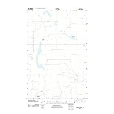 2011 Glacier Colony2011 Print · USGSGlacier County's agricultural high plains are captured here in the early twenty-first century, centered on the communal life of the Glacier Colony. Genealogists and local historians can trace the local road network and water features like Long Lake Dam and Old Maid Coulee.
 - 2011 Map of Mount Jackson, 2011 Print
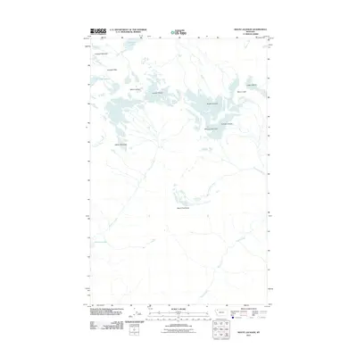 2011 Mount Jackson2011 Print · USGSThe high peaks of Flathead County are shown at the start of the 21st century, centered on the Continental Divide and its massive ice fields. Trace the basins of Gunsight Lake, study the extent of the Blackfoot Glacier, or locate Siksika Falls.
 - 2011 Map of Piegan, 2011 Print
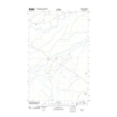 2011 Piegan2011 Print · USGSGlacier County's high plains are mapped in detail here during the early twenty-first century. Researchers can trace historic sites and burial grounds like the Holy Family Mission Cemetery and Four Horns Cemetery, or follow the winding course of the Two Medicine River.
 - 2011 Map of Mount Cleveland, 2011 Print
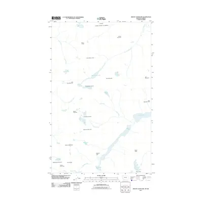 2011 Mount Cleveland2011 Print · USGSThe international borderlands and high peaks of the Lewis Range are detailed here in the early twenty-first century. Hikers and historians can trace old alpine routes through Stoney Indian Pass or locate the Mokowanis Shelter Cabin near Mokowanis Lake.
 - 2011 Map of Hoodoo Hill, 2011 Print
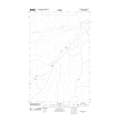 2011 Hoodoo Hill2011 Print · USGSGlacier County ranching country is mapped here in the early twenty-first century, showing the confluence of the forks of the Milk River. Local historians can trace the paths of 3 C Bar Rd and geographic landmarks like Hoodoo Hill and Sand Rock Coulee.
 - 2011 Map of Landslide Butte, 2011 Print
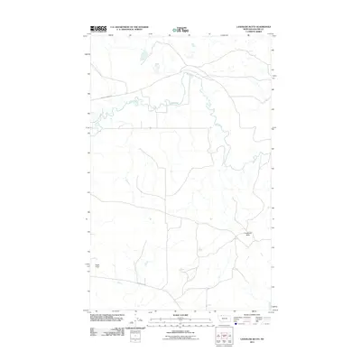 2011 Landslide Butte2011 Print · USGSNorthern Montana's river valley and high plains come into focus in the early twenty-first century. Researchers can trace the winding course of the Milk River or locate landmarks like Landslide Butte and Eagle Point.
 - 2011 Map of Mission Lake East, 2011 Print
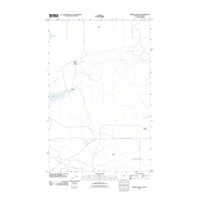 2011 Mission Lake East2011 Print · USGSGlacier County's high plains are documented here in the early twenty-first century, showing a landscape of communal settlement and water management. Researchers can trace the layout of Hidden Lake Colony and locate landmarks like Mission Lake Dam and the Duckhead Buttes.
 - 2011 Map of Love Rock, 2011 Print
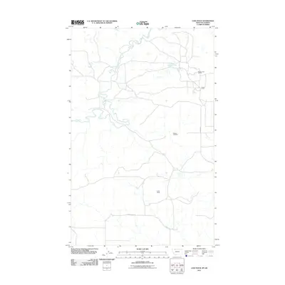 2011 Love Rock2011 Print · USGSGlacier County's northern plains are captured here in the early 21st century, showing a remote landscape where energy and agriculture meet. Local historians can trace the operations at Reagan Camp Oil Field or locate landmarks like Love Rock and Land Slide Butte.
 - 2011 Map of Mission Lake West, 2011 Print
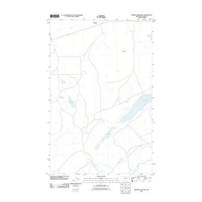 2011 Mission Lake West2011 Print · USGSGlacier County in the early twenty-first century is defined by its vast water systems and open flats. Researchers can trace the drainage of Wasteway Coulee or locate specific landmarks like Guardipee Lake and the winding Two Medicine River.
 - 2011 Map of White Man Coulee, 2011 Print
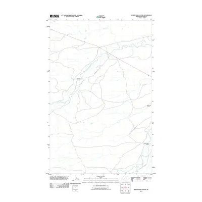 2011 White Man Coulee2011 Print · USGSGlacier County's high plains are documented here in the early twenty-first century, showing the winding course of the Two Medicine River. Researchers can trace local names like Joe Show West Rd and landmarks including Big Nose Coulee.
 - 2011 Map of Mount Stimson, 2011 Print
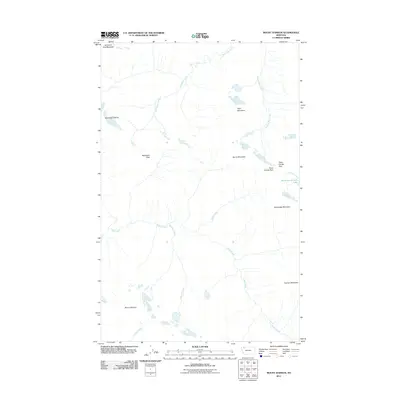 2011 Mount Stimson2011 Print · USGSThe high Continental Divide in Flathead County is documented here at the start of the millennium, showing a landscape defined by water and rock. Researchers can trace the unique three-way drainage of Triple Divide Peak or locate Red Eagle Glacier and Medicine Grizzly Lake.
 - 2011 Map of Fitzpatrick Lake, 2011 Print
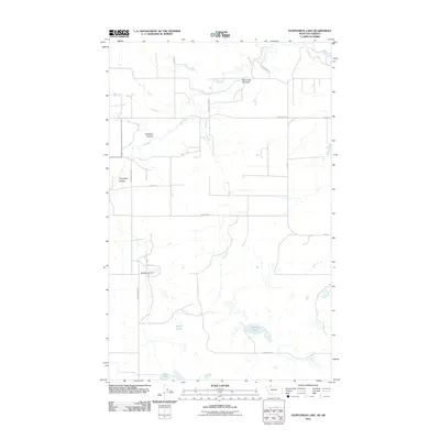 2011 Fitzpatrick Lake2011 Print · USGSGlacier County's high plains and energy corridors are captured here just after the turn of the millennium. Researchers can trace the industrial footprint of the Red Creek Oil Field and locate water landmarks like Fitzpatrick Lake and the Ramcharger Dam.
 - 2011 Map of Starr School, 2011 Print
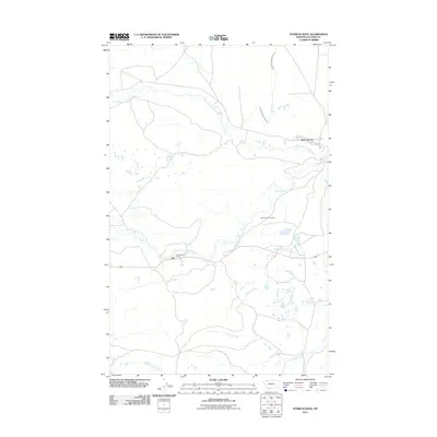 2011 Starr School2011 Print · USGSGlacier County in the early twenty-first century reveals a landscape defined by prairie water management and small rural communities. Genealogists and local historians can locate Afterbuffalo Cemetery, Starr School, and the community of Star along the winding forks of Cut Bank Creek.
Showing maps 1-25 of 234
Top cities of Glacier County
Frequently asked questions
- What are the different types of historical maps available for Glacier County?
- What is the oldest map of Glacier County?
- Where can I purchase historical maps of Glacier County for my home or office?
- Where can I download high-res historical maps of Glacier County?
- Are there historical topographic maps available for Glacier County?
- Is there historical aerial imagery available for Glacier County?
- Where are historical maps of Glacier County sourced from?