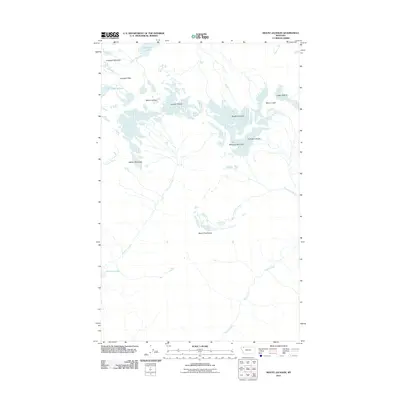
2011 Map of Mount Jackson
USGS Topo · Published 2011About this map
Mount Jackson stands at the center of this high-altitude landscape in Flathead County, where the Continental Divide separates significant glacial systems. This 2011 survey documents the state of the Jackson Glacier, Blackfoot Glacier, and the smaller Pumpkin Glacier before years of continued recession. The terrain is defined by extreme verticality, from the high Gunsight Pass down to the basins of Gunsight Lake and Harrison Lake.
Find a feature on this map
21 named features on this map. Tap any name to fly to it.
Don’t see what you’re looking for? This feature index may not catch every label — zoom into the map to look around manually.
Map Details
Editions of this 2011 Mount Jackson Map
This is the sole edition of this map. No revisions or reprints were ever made.
Other maps of this area

1904 · Chief Mountain
USGS Topo · 1:125,000

1914 · Nyack
USGS Topo · 1:125,000

1938 · Chief Mountain
USGS Topo · 1:125,000

1960 · Cut Bank
USGS Topo · 1:250,000

1963 · Cut Bank
USGS Topo · 1:250,000

1964 · Cut Bank
USGS Topo · 1:250,000

1964 · Nyack
USGS Topo · 1:24,000

1964 · Stanton Lake
USGS Topo · 1:24,000
1964 · Mount Saint Nicholas
USGS Topo · 1:24,000
1968 · Mount Cannon
USGS Topo · 1:24,000