
1964 Map of Nyack
USGS Topo · Published 1968About this map
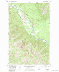
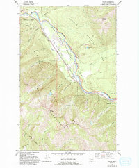
The Middle Fork Flathead River carves a deep valley through this terrain, serving as the literal boundary between Glacier National Park and the Flathead National Forest. Along the western bank, the Great Northern railway tracks parallel the river, connecting the small settlement at Nyack to the broader regional network. This narrow corridor is anchored by the Nyack Ranger Station and a series of technical features including a Borrow Pit and Quarry, marking the intersection of wilderness management and industrial infrastructure. To the east, the landscape rises sharply toward Loneman Mountain and its Loneman Lookout, while the western peaks like Mount Penrose and Nyack Mountain define the high-altitude limits of the Theodore Roosevelt John F Stevens area. Numerous drainages such as Nyack Creek and Skiumah Creek feed the river, creating a complex hydrologic pattern that dictated the placement of early mountain routes.
Find a feature on this map
35 named features on this map. Tap any name to fly to it.
Don’t see what you’re looking for? This feature index may not catch every label — zoom into the map to look around manually.
Map Details
Editions of this 1964 Nyack Map
3 editions found
Other maps of this area

1904 · Chief Mountain
USGS Topo · 1:125,000

1914 · Nyack
USGS Topo · 1:125,000

1938 · Chief Mountain
USGS Topo · 1:125,000

1960 · Cut Bank
USGS Topo · 1:250,000

1963 · Cut Bank
USGS Topo · 1:250,000

1964 · Cut Bank
USGS Topo · 1:250,000

1964 · Pinnacle
USGS Topo · 1:24,000

1964 · Stanton Lake
USGS Topo · 1:24,000
1964 · Nyack SW
USGS Topo · 1:24,000
1964 · West Glacier
USGS Topo · 1:24,000