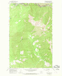
1964 Map of West Glacier
USGS Topo · Published 1968About this map
West Glacier serves as a critical gateway on this mid-1960s survey, situated where the Great Northern railroad and the Middle Fork Flathead River converge. The map illustrates the boundary between Glacier National Park and the Flathead National Forest, highlighting a landscape defined by steep drainages and prominent summits like Ousel Peak and Great Bear Mountain. Transportation routes follow the natural topography, with the railroad and roadway threading through Theodore Roosevelt Pass and Stevens Canyon.
Find a feature on this map
38 named features on this map. Tap any name to fly to it.
Don’t see what you’re looking for? This feature index may not catch every label — zoom into the map to look around manually.
Map Details
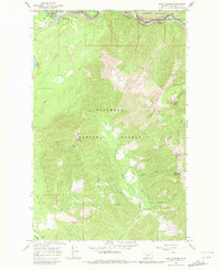
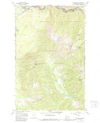
Editions of this 1964 West Glacier Map
3 editions found
Other maps of this area

1904 · Chief Mountain
USGS Topo · 1:125,000

1906 · Kintla Lakes
USGS Topo · 1:125,000

1914 · Nyack
USGS Topo · 1:125,000

1938 · Chief Mountain
USGS Topo · 1:125,000

1938 · Kintla Lakes
USGS Topo · 1:125,000

1943 · Kalispell
USGS Topo · 1:125,000

1957 · Kalispell
USGS Topo · 1:250,000

1960 · Kalispell
USGS Topo · 1:250,000

1960 · Cut Bank
USGS Topo · 1:250,000

1961 · Kalispell
USGS Topo · 1:250,000