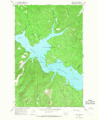
1964 Map of Nyack SW
USGS Topo · Published 1968About this map
Flathead National Forest land dominates this 1964 survey, centered on the expansive waters of the Hungry Horse Reservoir and the Flathead River Reservoir. The topography is defined by significant ridges and peaks, including Emery Ridge and Firefighter Mountain, where a Firefighter Lookout Tower stands as a lonely sentinel. Numerous drainages such as Alice Maggie Creek and Wounded Buck Creek flow into the reservoir, which reached a normal pool elevation of 3,560 feet by the mid-1960s.
Find a feature on this map
38 named features on this map. Tap any name to fly to it.
Don’t see what you’re looking for? This feature index may not catch every label — zoom into the map to look around manually.
Map Details
Editions of this 1964 Nyack SW Map
This is the sole edition of this map. No revisions or reprints were ever made.
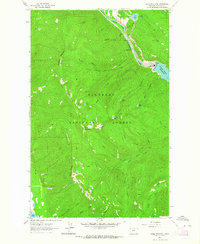
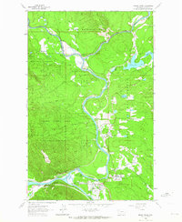
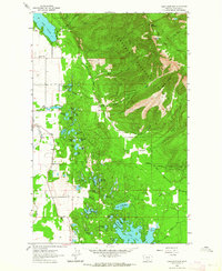
Other maps of this area

1914 · Nyack
USGS Topo · 1:125,000

1943 · Kalispell
USGS Topo · 1:125,000

1957 · Kalispell
USGS Topo · 1:250,000

1960 · Kalispell
USGS Topo · 1:250,000

1960 · Cut Bank
USGS Topo · 1:250,000

1961 · Kalispell
USGS Topo · 1:250,000
1962 · Doris Mountain
USGS Topo · 1:24,000
1962 · Hungry Horse
USGS Topo · 1:24,000
1962 · Hash Mountain
USGS Topo · 1:24,000

1963 · Cut Bank
USGS Topo · 1:250,000