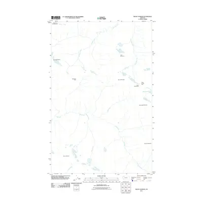
2011 Map of Mount Stimson
USGS Topo · Published 2011About this map
Mount Stimson anchors this high-elevation landscape in Flathead County, illustrating a complex hydrological and geological system at the start of the 21st century. The map centers on the Continental Divide, most notably at Triple Divide Peak, where drainage separates into three distinct oceanic basins. This unique drainage pattern is further defined by Atlantic Creek flowing east and the headwaters of Nyack Creek and Pacific Creek moving toward the west. Glacial remnants like Red Eagle Glacier feed high-mountain waters such as Medicine Grizzly Lake. High-altitude traversals are documented through Red Eagle Pass and Triple Divide Pass, connecting peaks like Almost-a-Dog Mountain and Split Mountain. The absence of roads or permanent structures reflects the primitive state of this mountain wilderness, dominated by named ridges and the steep drainages of Stimson Creek and Hudson Bay Creek.
Find a feature on this map
18 named features on this map. Tap any name to fly to it.
Don’t see what you’re looking for? This feature index may not catch every label — zoom into the map to look around manually.
Map Details
Editions of this 2011 Mount Stimson Map
This is the sole edition of this map. No revisions or reprints were ever made.
Other maps of this area

1901 · Browning
USGS Topo · 1:125,000

1903 · Browning
USGS Topo · 1:125,000

1904 · Chief Mountain
USGS Topo · 1:125,000

1913 · Marias Pass
USGS Topo · 1:125,000

1914 · Nyack
USGS Topo · 1:125,000

1938 · Chief Mountain
USGS Topo · 1:125,000

1960 · Cut Bank
USGS Topo · 1:250,000

1963 · Cut Bank
USGS Topo · 1:250,000

1964 · Cut Bank
USGS Topo · 1:250,000

1964 · Stanton Lake
USGS Topo · 1:24,000