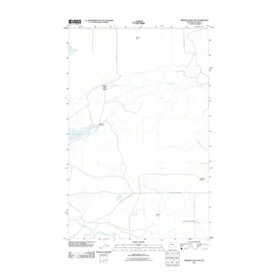
2011 Map of Mission Lake East
USGS Topo · Published 2011About this map
Hidden Lake Colony serves as a primary settlement point in this section of Glacier County, situated near the waters of Spring Creek. The landscape is defined by its wide plateaus and hydrological infrastructure, including Seville Flat to the north and Hagan Flat to the south. Water management is a central theme of the geography, evidenced by the Mission Lake Dam on Mission Lake and the Sunny Mountains Dam located near the southern boundary. These features, along with the Two Medicine River winding through the southwestern corner, illustrate the importance of water resources in this Montana prairie environment. The road network, including the specifically named Governor Hugo Aronson Rd, connects these remote agricultural and communal outposts across the terrain marked by the Duckhead Buttes.
Find a feature on this map
14 named features on this map. Tap any name to fly to it.
Don’t see what you’re looking for? This feature index may not catch every label — zoom into the map to look around manually.
Map Details
Editions of this 2011 Mission Lake East Map
This is the sole edition of this map. No revisions or reprints were ever made.
Other maps of this area

1907 · Blackfoot Res.
USGS Topo · 1:48,000

1909 · Cut Bank
USGS Topo · 1:125,000

1911 · Blackfoot
USGS Topo · 1:125,000

1912 · Cut Bank
USGS Topo · 1:125,000

1914 · Heart Butte
USGS Topo · 1:125,000

1918 · Heart Butte
USGS Topo · 1:125,000

1920 · Dupuyer
USGS Topo · 1:125,000

1934 · Lake Frances
USGS Topo · 1:48,000

1937 · Lake Frances
USGS Topo · 1:62,500

1960 · Cut Bank
USGS Topo · 1:250,000