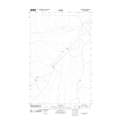
2011 Map of Hoodoo Hill
USGS Topo · Published 2011About this map
The Middle Fork Milk River and the South Fork Milk River converge in this northern Montana landscape, revealing a complex network of seasonal drainages and geological formations. The terrain is defined by a series of deep coulees, including Sand Rock Coulee, Murphy Coulee, and Burd Coulee, which carve through the high plains toward the primary river channels.
Find a feature on this map
11 named features on this map. Tap any name to fly to it.
Don’t see what you’re looking for? This feature index may not catch every label — zoom into the map to look around manually.
Map Details
Editions of this 2011 Hoodoo Hill Map
This is the sole edition of this map. No revisions or reprints were ever made.
Other maps of this area

1901 · Browning
USGS Topo · 1:125,000

1903 · Browning
USGS Topo · 1:125,000

1911 · Blackfoot
USGS Topo · 1:125,000

1960 · Cut Bank
USGS Topo · 1:250,000

1963 · Cut Bank
USGS Topo · 1:250,000

1964 · Cut Bank
USGS Topo · 1:250,000

1968 · Hoodoo Hill
USGS Topo · 1:24,000

1968 · Browning NE
USGS Topo · 1:24,000
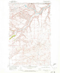
1968 · Emigrant Gap
USGS Topo · 1:24,000
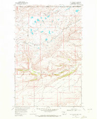
1968 · Hall Coulee
USGS Topo · 1:24,000