Old Maps of Del Bonita, Montana for Hiking & Exploration
Hike through history with 11 historic maps of Del Bonita. Explore old trails, ghost towns, and forgotten backroads — perfect for outdoor adventurers and local explorers.
- Rediscover forgotten places: Map out old mining camps, roads, and footpaths that no longer exist on modern maps.
- Layer with modern tools: Combine with LiDAR or satellite views to plan hikes through historical terrain.
- Made for exploration: Popular among hikers, overlanders, and local history lovers.
Use these maps to find adventure and explore the hidden past of Del Bonita.
Del Bonita, MT maps
(11)- 1911 Map of Blackfoot
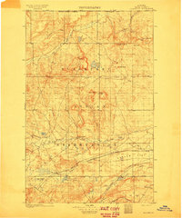 1911 Blackfoot1911 Print · USGSNorthwestern Montana at the start of the twentieth century was a territory of vast open spaces and burgeoning rail towns. Researchers can trace the early Great Northern railroad corridor through Blackfoot, find the Cutfinger School, and locate Cooks Ranch.2 unique versions available
 - 1960 Map of Cut Bank, 1968 Print
 1960 Cut Bank1968 Print · USGSThe high peaks of the Rockies meet the eastern plains in the 1960s, showing the intersection of federal lands and the Blackfeet Indian Reservation. Trace the path of the Great Northern railway and find local landmarks like the Blackfoot Boarding School and Family Mission Cem.3 unique versions available
 - 1963 Map of Cut Bank
 1963 Cut Bank1963 Print · USGSNorthern Montana’s mountain passes and high plains are captured here in the early 1960s. Genealogists and historians can trace the Great Northern rail stops from Browning to Ethridge or locate the remote outposts at Polebridge and Babb.
 - 1964 Map of Cut Bank
 1964 Cut Bank1964 Print · USGSGlacier National Park and the Blackfeet Indian Reservation meet in the early sixties at the triple divide of North America. Researchers can trace the Great Northern Railway through mountain passes and locate local landmarks like the Blackfoot Boarding School and Apgar Village.
 - 1968 Map of Del Bonita, 1972 Print
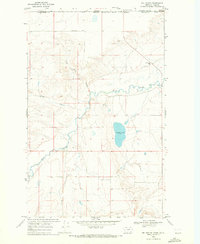 1968 Del Bonita1972 Print · USGSNorthern Montana's border country comes into focus in this late 1960s study of the high plains. Genealogists and historians can trace the crossing at Del Bonita, locate the Croff Wren Sch, and follow the winding Milk River.
 - 1984 Map of Cut Bank
 1984 Cut Bank1984 Print · USGSGlacier County's high plains are captured here in the mid-1980s, showcasing the intersection of tribal lands, energy development, and remote agricultural colonies. Genealogists and historians can trace the Burlington Northern rail line through settlements like Ethridge and Seville.
 - 2011 Map of Del Bonita, 2011 Print
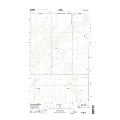
 2011 Del Bonita2011 Print · USGSCovers Del Bonita, including Glacier County, Cardston County, and other nearby areas
 - 2014 Map of Del Bonita, 2014 Print
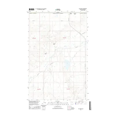
 2014 Del Bonita2014 Print · USGSCovers Del Bonita, including Glacier County, Cardston County, and other nearby areas
 - 2017 Map of Del Bonita, 2017 Print
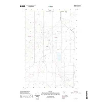
 2017 Del Bonita2017 Print · USGSCovers Del Bonita, including Glacier County, Cardston County, and other nearby areas
 - 2020 Map of Del Bonita, 2020 Print
 2020 Del Bonita2020 Print · USGSCovers Del Bonita, including Glacier County, Cardston County, and other nearby areas
 - 2024 Map of Del Bonita, 2024 Print
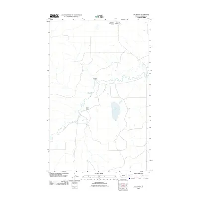
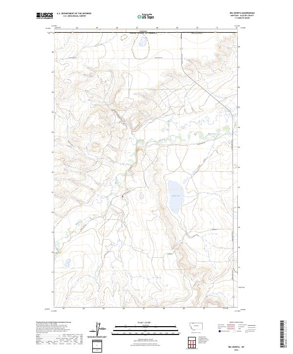 2024 Del Bonita2024 Print · USGSGlacier County's northern frontier meets the international boundary in this contemporary survey of the high plains. Researchers can trace the winding Milk River and Coal Bank Coulee alongside landmarks like Whetstone Airport and the remote Croffs Lake.
End of results
Showing maps 1-11 of 11
Frequently asked questions
- What are the different types of historical maps available for Del Bonita?
- What is the oldest map of Del Bonita?
- Where can I purchase historical maps of Del Bonita for my home or office?
- Where can I download high-res historical maps of Del Bonita?
- Are there historical topographic maps available for Del Bonita?
- Is there historical aerial imagery available for Del Bonita?
- Where are historical maps of Del Bonita sourced from?