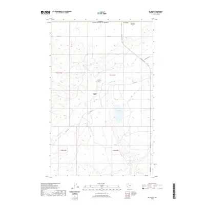
2020 Map of Del Bonita
USGS Topo · Published 2020About this map
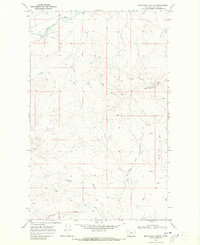
Del Bonita sits directly on the international border between the United States and Canada in Glacier County. This high-plains landscape is defined by the winding course of the Milk River and the deep incisions of Coal Bank Coulee and Kennedy Coulee, which drain the surrounding plateaus. The placement of Whetstone International Airport straddling the border underscores the unique binational character of this remote settlement. The land is organized by a grid of named rural routes, including Boundary Rd and Chalk Butte Rd, connecting isolated homesteads across the townships. Water is a scarce and vital resource here, marked by small features like Croffs Lake. The survey detail captures the modern infrastructure of the region, from the Radar Base Rd to the various sections of T37N and T36N, reflecting the systematic management of this borderland environment.
Find a feature on this map
17 named features on this map. Tap any name to fly to it.
Don’t see what you’re looking for? This feature index may not catch every label — zoom into the map to look around manually.
Map Details
Editions of this 2020 Del Bonita Map
This is the sole edition of this map. No revisions or reprints were ever made.
Other maps of this area

1911 · Blackfoot
USGS Topo · 1:125,000

1960 · Cut Bank
USGS Topo · 1:250,000

1963 · Cut Bank
USGS Topo · 1:250,000

1964 · Cut Bank
USGS Topo · 1:250,000

1968 · Buffalo Lake
USGS Topo · 1:24,000
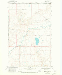
1968 · Del Bonita
USGS Topo · 1:24,000

1968 · Landslide Butte
USGS Topo · 1:24,000
1968 · Bushnell Hill
USGS Topo · 1:24,000
1968 · Rimrock Ranch
USGS Topo · 1:24,000
1968 · Nightshoot Coulee
USGS Topo · 1:24,000