
1968 Map of Buffalo Lake
USGS Topo · Published 1972About this map
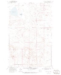
Buffalo Lake and its smaller neighbor, Little Buffalo Lake, dominate the northern landscape of this Blackfeet Indian Reservation territory. The terrain is defined by a series of prominent rises and drainage systems, most notably the high ground of Horsethief Ridge and several distinct peaks including Chalk Butte and Antelope Butte. A network of coulees, such as Little Rock Coulee and Big Crown Butte Coulee, demonstrates the erosional patterns of the Montana plains.
Find a feature on this map
13 named features on this map. Tap any name to fly to it.
Don’t see what you’re looking for? This feature index may not catch every label — zoom into the map to look around manually.
Map Details
Editions of this 1968 Buffalo Lake Map
2 editions found
Other maps of this area

1911 · Blackfoot
USGS Topo · 1:125,000

1960 · Cut Bank
USGS Topo · 1:250,000

1963 · Cut Bank
USGS Topo · 1:250,000

1964 · Cut Bank
USGS Topo · 1:250,000

1968 · Rimrock Butte
USGS Topo · 1:24,000
1968 · Love Rock
USGS Topo · 1:24,000

1968 · Rocky Buttes
USGS Topo · 1:24,000
1968 · Fort Piegan
USGS Topo · 1:24,000
1968 · Del Bonita
USGS Topo · 1:24,000

1968 · Landslide Butte
USGS Topo · 1:24,000