Old Maps of East Glacier Park Village, Montana for Academic Research
Study the evolution of East Glacier Park Village with 12 high-resolution historic maps. Whether you're teaching, researching, or modeling changes in land use, these maps provide essential visual documentation of urban, environmental, and geographic change.
- Analyze long-term change: Track patterns in development, transportation, and natural features.
- Ideal for environmental or urban studies: Support academic projects with primary historical map data.
- Use in the classroom or lab: Educators and researchers rely on these maps to bring historical context to life.
These maps are a powerful tool for teaching, research, and visualizing how East Glacier Park Village has changed over the decades.
East Glacier Park Village, MT maps
(12)- 1913 Map of Marias Pass
 1913 Marias Pass1913 Print · USGSThe Continental Divide and the Great Northern Railroad meet at the crest of the Rockies in the years just after Glacier's establishment. Local historians can trace early rail stations like Lubec, the Midvale settlement, and remote outposts such as Three Forks Rangers Cabin.3 unique versions available
 - 1960 Map of Cut Bank, 1968 Print
 1960 Cut Bank1968 Print · USGSThe high peaks of the Rockies meet the eastern plains in the 1960s, showing the intersection of federal lands and the Blackfeet Indian Reservation. Trace the path of the Great Northern railway and find local landmarks like the Blackfoot Boarding School and Family Mission Cem.3 unique versions available
 - 1963 Map of Cut Bank
 1963 Cut Bank1963 Print · USGSNorthern Montana’s mountain passes and high plains are captured here in the early 1960s. Genealogists and historians can trace the Great Northern rail stops from Browning to Ethridge or locate the remote outposts at Polebridge and Babb.
 - 1964 Map of Cut Bank
 1964 Cut Bank1964 Print · USGSGlacier National Park and the Blackfeet Indian Reservation meet in the early sixties at the triple divide of North America. Researchers can trace the Great Northern Railway through mountain passes and locate local landmarks like the Blackfoot Boarding School and Apgar Village.
 - 1968 Map of East Glacier Park, 1972 Print
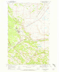 1968 East Glacier Park1972 Print · USGSThe eastern gateway to the Rockies is captured in the late sixties, showing where the Blackfeet Reservation meets the national forest. Trace the early tourism and rail infrastructure through East Glacier Park, including the Park Ranger Sta and Spotted Robe.
 - 1981 Map of Hungry Horse Reservoir, 1982 Print
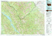 1981 Hungry Horse Reservoir1982 Print · USGSThe Flathead region in the early eighties shows a wilderness managed through rail and reservoir. Genealogists and historians can trace rail-stop settlements like Nyack, Essex, and Summit along the Burlington Northern line and the John F Stevens Canyon.
 - 1995 Map of East Glacier Park, 1997 Print
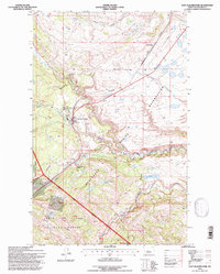 1995 East Glacier Park1997 Print · USGSThe eastern gateway to the Rockies comes into focus during the mid-1990s as the railroad and highway cross the Continental Divide. Researchers can trace the layout of East Glacier Park, locate the East Glacier Park Cem, and follow the Burlington Northern line through Theodore Roosevelt Pass.
 - 2011 Map of East Glacier Park, 2011 Print
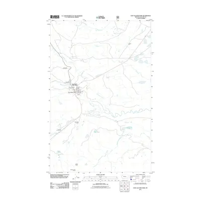 2011 East Glacier Park2011 Print · USGSThe eastern gateway to the mountains is captured here in the early twenty-first century, showing the village layout and its connection to the surrounding wilderness. Researchers can locate specific sites like the Glacier Park Lodge, the East Glacier Park Cemetery, and the Bison Creek Ranch.
 - 2014 Map of East Glacier Park, 2014 Print
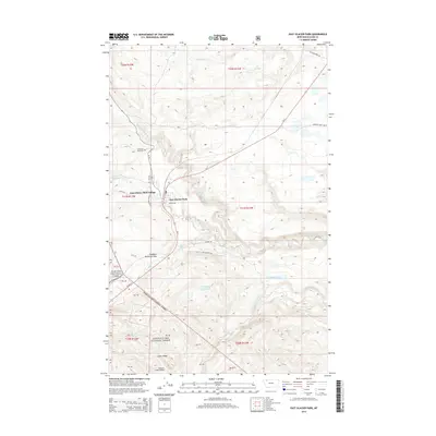 2014 East Glacier Park2014 Print · USGSEast Glacier Park Village sits at the mountain doorstep of the northern Rockies in the early twenty-first century. Genealogists and researchers can locate E Glacier Park Cem and trace landmarks like the Midvale Creek Bridge or Theodore Roosevelt Pass.
 - 2017 Map of East Glacier Park, 2017 Print
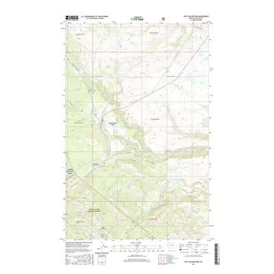 2017 East Glacier Park2017 Print · USGSEast Glacier Park and the surrounding mountain foothills are captured here in the late twenty-tens as the gateway to the high wilderness. Researchers can trace the local landscape from the East Glacier Park Cem to landmarks like Two Medicine Falls and the Midvale Creek Bridge.
 - 2020 Map of East Glacier Park, 2020 Print
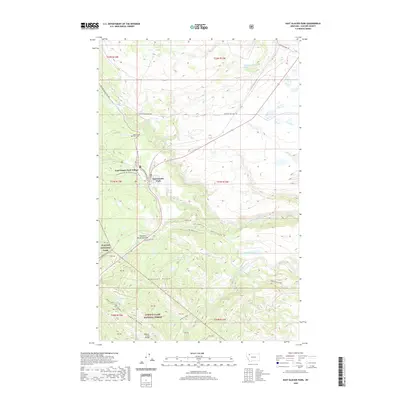 2020 East Glacier Park2020 Print · USGSEast Glacier Park Village stands at the dramatic intersection of the High Plains and the Rockies in 2020. Local researchers can trace the historic Railroad corridor through Theodore Roosevelt Pass and locate the East Glacier Park Cem near the park boundary.
 - 2024 Map of East Glacier Park, 2024 Print
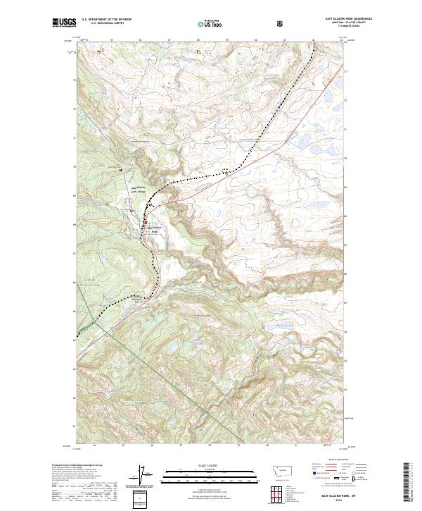 2024 East Glacier Park2024 Print · USGSEast Glacier Park sits at the edge of the mountains in this recent survey, showing the vital interface between the village and the high peaks. Genealogists and hikers can locate the East Glacier Park Cem and trace paths like the Continental Divide National Scenic Trl or Bison Creek Rd.
End of results
Showing maps 1-12 of 12
Top cities near East Glacier Park Village
Frequently asked questions
- What are the different types of historical maps available for East Glacier Park Village?
- What is the oldest map of East Glacier Park Village?
- Where can I purchase historical maps of East Glacier Park Village for my home or office?
- Where can I download high-res historical maps of East Glacier Park Village?
- Are there historical topographic maps available for East Glacier Park Village?
- Is there historical aerial imagery available for East Glacier Park Village?
- Where are historical maps of East Glacier Park Village sourced from?