Old Maps of Pipestone, Montana for Genealogy
Trace your family roots with 14 historic maps of Pipestone. These high-res maps reveal old neighborhoods, homesites, landmarks, and streets — helping you uncover where your ancestors lived and how the area evolved over time.
- Explore historic neighborhoods: Identify where your relatives may have lived in the 1800s or 1900s.
- Compare maps over time: Trace the changes in streets, buildings, and landmarks for multi-generational research.
- Perfect for genealogy & ancestry research: Used by family historians and researchers to map out lineage and migration.
These maps are an incredible resource for exploring your personal connection to Pipestone's past.
Pipestone, MT maps
(14)- 1893 Map of Dillon
 1893 Dillon1893 Print · USGSSouthwestern Montana’s mountain ranges and river basins were being reshaped by the mining and rail boom in the late nineteenth century. Genealogists and historians can trace the early layout of Dillon and vanished camps like Hecla, Rochester, and Argenta.5 unique versions available
 - 1955 Map of Dillon, 1978 Print
 1955 Dillon1978 Print · USGSSouthwest Montana at the dawn of the interstate era reveals a landscape of high-mountain ranching and historic mining camps. Trace the routes of the Union Pacific through Dillon and Armstead, or locate early settlements like Bannack and Wisdom.2 unique versions available
 - 1957 Map of Dillon
 1957 Dillon1957 Print · USGSSouthwest Montana and Idaho in the mid-fifties reveal a high-country landscape of mountain ranges and ranching valleys. Genealogists can trace family holdings and rail stops along the Union Pacific Railroad, from Dillon to historic Virginia City and Twin Bridges.
 - 1958 Map of Dillon
 1958 Dillon1958 Print · USGSSouthwestern Montana during the late fifties reveals a high-country landscape defined by the Continental Divide and a legacy of mountain mining. Genealogists and historians can trace rail lines like the Union Pacific or locate early industrial sites including the Hecla Mine and Ermont Mine.
 - 1962 Map of Dillon
 1962 Dillon1962 Print · USGSSouthwest Montana in the early sixties is defined by its high mountain ranges and the winding rivers that carved its settlement patterns. Trace the rail routes of the Union Pacific through Dillon or locate mining activity near Butte and Argenta.
 - 1963 Map of Dry Mountain, 1965 Print
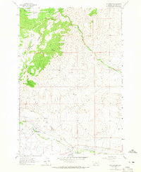 1963 Dry Mountain1965 Print · USGSJefferson County in the early sixties reveals a landscape of high-altitude ranching and mining heritage. Trace family-named landmarks like Gillespie Ranch and Tippet Place or locate the historic Easter Lily Mine (Gold-Pb) and Pipestone Hot Springs.2 unique versions available
 - 1965 Map of Dillon
 1965 Dillon1965 Print · USGSSouthwest Montana in the mid-1960s is defined by its rugged river valleys and high mountain passes along the Continental Divide. Researchers can trace the path of the Union Pacific through Dillon and Armstead, or locate early mining activity near Melrose and Wise River.
 - 1975 Map of Butte South
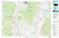 1975 Butte South1975 Print · USGSIn the mid-1970s, the mountainous terrain south of Butte was a hub of mining and rail activity. You can trace the Burlington Northern line through historic settlements like Melrose, Twin Bridges, and Whitehall, or locate family-named mines including Watseca Mine and Hecla Mines.
 - 1996 Map of Dry Mountain, 1998 Print
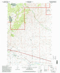 1996 Dry Mountain1998 Print · USGSJefferson County’s high country is captured here during the late nineties, documenting the intersections of mining and ranching. Genealogists and historians can locate family landmarks like Caldwell Ranch, the Easter Lily Mine, and the locally famous Pipestone Hot Springs.
 - 2011 Map of Dry Mountain, 2011 Print
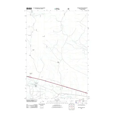 2011 Dry Mountain2011 Print · USGSPipestone Hot Springs and the high-country ranches of Jefferson County are captured here in the early twenty-first century. Researchers can trace land use through historic sites like the Easter Lily Mine, Tippet Place, and the geologic curiosity of Ringing Rocks.
 - 2014 Map of Dry Mountain, 2014 Print
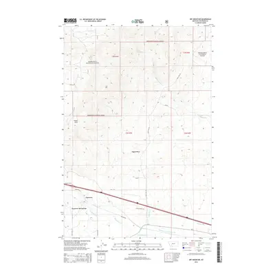 2014 Dry Mountain2014 Print · USGSJefferson County's high country and thermal waters are captured here in the early twenty-first century as the landscape transitions from the forest to the valley floor. Genealogists and hikers can trace historic land markers like Tippet Place and unique features such as the Ringing Rocks.
 - 2017 Map of Dry Mountain, 2017 Print
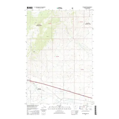 2017 Dry Mountain2017 Print · USGSPipestone Hot Springs and the surrounding Jefferson County highlands are captured here in the late twenty-tens as the landscape balances forest conservation and ranching. Trace the path of historic water systems like the Pipestone Ditch or locate the unique Ringing Rocks geological site.
 - 2020 Map of Dry Mountain, 2020 Print
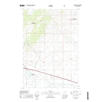 2020 Dry Mountain2020 Print · USGSThis Jefferson County landscape captures the intersection of geothermal activity and high-mountain wilderness during the early twenty-first century. Researchers can trace the sophisticated water engineering of Pipestone Ditch or locate the unique geological site of Ringing Rocks.
 - 2024 Map of Dry Mountain, 2024 Print
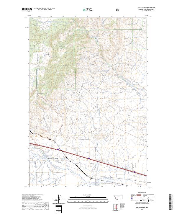 2024 Dry Mountain2024 Print · USGSThe high country and thermal springs of Jefferson County are captured in this recent survey. Local historians can trace water rights through the Pipestone Ditch or locate the geological landmark at Ringing Rocks near Pipestone Hot Springs.
End of results
Showing maps 1-14 of 14
Top cities near Pipestone
Frequently asked questions
- What are the different types of historical maps available for Pipestone?
- What is the oldest map of Pipestone?
- Where can I purchase historical maps of Pipestone for my home or office?
- Where can I download high-res historical maps of Pipestone?
- Are there historical topographic maps available for Pipestone?
- Is there historical aerial imagery available for Pipestone?
- Where are historical maps of Pipestone sourced from?