1970s Maps of Judith Basin County, Montana
Explore 39 historic maps of Judith Basin County from the 1970s. These maps offer a rare glimpse into what life looked like during the 1970s — showing old roads, neighborhoods, homes, and landmarks that have changed or disappeared over time.
Whether you're researching your family's past, planning a metal detecting trip, or studying how Judith Basin County's landscape evolved across the 1970s, these high-resolution maps are a powerful tool for exploring the history of this region.
- Focus on a specific era: All maps on this page are from the 1970s, giving you a focused view of this time period.
- See what’s changed: Compare century-old streets, trails, and buildings to today's modern landscape using overlays and satellite layers.
- Research with precision: Use these maps for genealogy, historical research, land use analysis, or educational projects.
- View, download, or print: Maps are fully viewable online in high resolution, and can be downloaded or printed for your own records.
Start exploring Judith Basin County's history through authentic maps from the 1970s. This is your window into the past.
Judith Basin County, MT maps
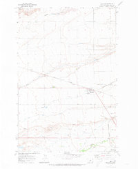
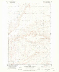
(39)- 1970 Map of Buffalo, 1973 Print
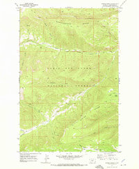
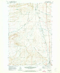 1970 Buffalo1973 Print · USGSJudith Basin and Fergus counties are captured at the start of the 1970s as a high-plains crossroads of rail and water. Researchers can trace the dual routes of the Burlington Northern and the Milwaukee Road through settlements like Buffalo and Garnell.
 - 1970 Map of Harwood Bench, 1973 Print
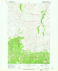
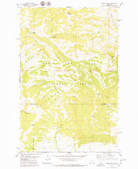
 1970 Harwood Bench1973 Print · USGSFergus and Judith Basin counties are captured here in the early 1970s, showing a vast ranching landscape centered on the high Harwood Bench. Researchers can trace the path of the C M St P & P railroad and locate family-named landmarks like Indian Buttes.
 - 1970 Map of Woodhurst Mountain, 1973 Print
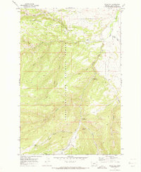
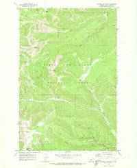
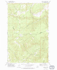
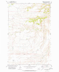
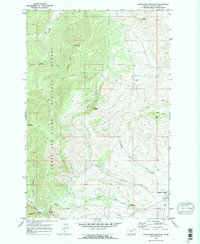 1970 Woodhurst Mountain1973 Print · USGSThe Judith Basin highlands come into focus in the early 1970s, showcasing the high-elevation terrain of the LEWIS AND CLARK NATIONAL FOREST. Genealogists and researchers can trace local landmarks like Sapphire Village, the Judith River Game Range Hdqrs, and the Strip Mine near Willow Creek.2 unique versions available
 - 1970 Map of Utica, 1973 Print
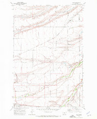
 1970 Utica1973 Print · USGSUtica and the Judith Basin are captured here in the early seventies, showing a ranching landscape defined by the Judith River and its many coulees. Researchers can locate the Utica Cem, trace the Ackley Lake Feeder Canal, and identify sites like Rosman and Red Shed Lake.
 - 1970 Map of Ettien Spring, 1973 Print
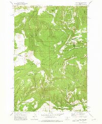
 1970 Ettien Spring1973 Print · USGSThe Judith Basin highlands within the Lewis and Clark National Forest appear here in the early seventies as a remote wilderness. Genealogists and historians can trace old mountain outposts like Korell Cabin and Burris Cabin along a network of primitive Pack Trails.2 unique versions available
 - 1970 Map of Browns Canyon, 1973 Print
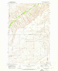
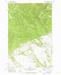
 1970 Browns Canyon1973 Print · USGSJudith Basin County was defined by its secluded canyon lands and national forest boundaries in the early seventies. Researchers can trace the path of a primitive Jeep Trail through Browns Canyon or locate the headwaters of Antelope Creek.
 - 1970 Map of Martin Coulee, 1973 Print
 1970 Martin Coulee1973 Print · USGSThe Judith Basin and Wheatland county line was a landscape of remote drainages and high timber in the early seventies. Genealogists and historians can trace old resource extraction sites near Saager Canyon and follow a primitive Jeep Trail into the Lewis and Clark National Forest.
 - 1970 Map of Twin Sisters, 1973 Print
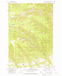
 1970 Twin Sisters1973 Print · USGSJudith Basin County at the start of the 1970s shows a landscape of deep canyons and national forest boundaries. Researchers can trace the rugged Buffalo Canyon Trail or locate remote water sources like Big Coulee and the distinctive Twin Sisters peaks.
 - 1970 Map of Moccasin, 1973 Print
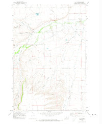
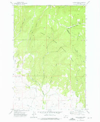
 1970 Moccasin1973 Print · USGSThe Judith Basin plains come into focus in the early seventies, showing a landscape defined by ranching and rail. Genealogists and historians can trace the tracks of the Burlington Northern through Moccasin and locate the Agriculture Experimental Sta.
 - 1970 Map of Indian Hill, 1973 Print
 1970 Indian Hill1973 Print · USGSThe Judith Basin high country is captured here in the early seventies, detailing a landscape of forest management and mountain recreation. Researchers can trace historic access points like Yogo Crossing and find the locations of the Judith Ranger Sta and Indian Hill Campground.
 - 1970 Map of Kolin, 1973 Print
 1970 Kolin1973 Print · USGSThe Judith Basin at the dawn of the seventies shows a landscape of rail-connected prairie towns and river bottomlands. Genealogists and researchers can trace the homesites near Kolin and Hobson or locate the Burlington Northern line and Murray Ditch.
 - 1970 Map of Ackley Lake, 1973 Print
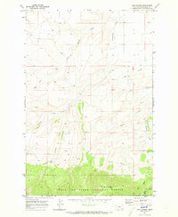
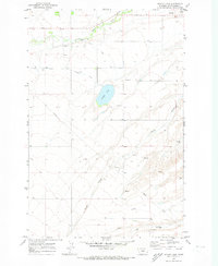 1970 Ackley Lake1973 Print · USGSThe Judith Basin is captured here in the early 1970s, showcasing a landscape shaped by early irrigation and ranching. Researchers can trace the Judith River past the Philbrook Cem and explore the water network surrounding Ackley Lake.
 - 1970 Map of Red Hill, 1973 Print
 1970 Red Hill1973 Print · USGSJudith Basin County ranchlands are captured here in the early seventies, centered on the Judith River and Sapphire Village. Genealogists and researchers can trace the Larson Cem and local landmarks like the Dipping Vat or Landing Strip.
 - 1970 Map of Bandbox Mountain, 1973 Print
 1970 Bandbox Mountain1973 Print · USGSThe high ridges of Judith Basin come into focus in the early seventies, detailing the former location of Old Yogo Town. Historians can trace the mining legacy through the numerous Mines and Prospects hidden within Sixteen Skunk Gulch.2 unique versions available
 - 1970 Map of Sipple, 1974 Print
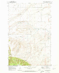
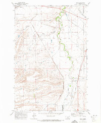 1970 Sipple1974 Print · USGSCentral Montana in the early 1970s is a landscape of intersecting rail lines and deep coulees along the county line. Researchers can trace the routes of the Burlington Northern and the Chicago Milwaukee St Paul and Pacific near Sipple and Hauck.
 - 1970 Map of Big Spring, 1974 Print
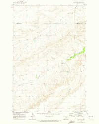 1970 Big Spring1974 Print · USGSThe central Montana plains near the turn of the 1970s reveal a landscape of deep coulees and boundary lines between Fergus Co and Judith Basin Co. Trace the intricate drainage of Dry Wolf Creek and Big Spring Coulee across this ranching terrain.
 - 1972 Map of Daisy Peak, 1975 Print
 1972 Daisy Peak1975 Print · USGSThe high country of the Little Belt Mountains is captured here in the early seventies, spanning the borders of Judith Basin, Meagher, and Wheatland counties. Trace the locations of the Daisy Guard Sta (Site) and explore the route of the Smith Creek Pack Trail through Haymaker Park.
 - 1972 Map of Russian Flat, 1975 Print
 1972 Russian Flat1975 Print · USGSMeagher and Judith Basin counties are shown here in the early seventies, dominated by the timber and headwaters of the Little Belt range. Researchers can trace old mining operations like the New Deal Mine and Jumbo Mine or follow the historic Deadhorse Pack Trail.
 - 1972 Map of Jellison Place, 1976 Print
 1972 Jellison Place1976 Print · USGSWheatland and Judith Basin counties are seen here in the early 1970s as high forest transitions to spring-fed ranchland. Researchers can trace water sources like Jellison Reservoir and Muir Spring near the namesake Jellison Place.
 - 1972 Map of Haymaker Narrows, 1976 Print
 1972 Haymaker Narrows1976 Print · USGSIn the early 1970s, the high country along the Judith Basin and Wheatland county line remained a remote landscape of pack trails and springs. Researchers can locate specific water sources like Sixshooter Spring and landmarks such as Elephant Rock and Haymaker Dam.
 - 1972 Map of Hoover Spring, 1976 Print
 1972 Hoover Spring1976 Print · USGSThe high headwaters of the Little Belt Mountains are documented here in the early seventies, showing a critical watershed divide. Trace historic pack routes like the Jamison Fork Trail and find remote water sources such as Hoover Spring.
 - 1975 Map of Belt SE
 1975 Belt SE1975 Print · USGSCascade County ranching country is captured in the mid-seventies, showing the intricate landscape of the high plains before modern expansion. Local researchers can trace the settlement at Blythe and the winding drainages of Otter Creek and Cora Creek.
 - 1978 Map of Stanford NE, 1979 Print
 1978 Stanford NE1979 Print · USGSThe Judith Basin highlands come into focus in the late 1970s, showing a landscape defined by ranching-era water features and high-bench topography. Researchers can trace the drainage of Coyote Bench and locate named water sources like Walker Spring and the Flowing Well.
 - 1978 Map of Arrow Peak, 1979 Print
 1978 Arrow Peak1979 Print · USGSThe Highwood Mountains are shown at the end of the 1970s, as the wilderness of the Lewis and Clark National Forest is mapped in detail. Trace remote locales like Briggs and Everly or the network of high-country summits from Arrow Peak to Windy Mountain.2 unique versions available
 - 1978 Map of Leiberg Coulee, 1979 Print
 1978 Leiberg Coulee1979 Print · USGSThe Judith Basin in the late seventies is captured here as a sprawling landscape of high benches and deep coulees. Genealogists and researchers can trace the natural boundaries of family land around Merino Bench, Arrow Creek, and Leiberg Coulee.
Showing maps 1-25 of 39
Top cities of Judith Basin County
Frequently asked questions
- What are the different types of historical maps available for Judith Basin County?
- What is the oldest map of Judith Basin County?
- Where can I purchase historical maps of Judith Basin County for my home or office?
- Where can I download high-res historical maps of Judith Basin County?
- Are there historical topographic maps available for Judith Basin County?
- Is there historical aerial imagery available for Judith Basin County?
- Where are historical maps of Judith Basin County sourced from?