2000s (21st Century) Maps of Judith Basin County, Montana
Explore 270 historic maps of Judith Basin County from the 2000s (21st Century). These maps offer a rare glimpse into what life looked like during the 2000s — showing old roads, neighborhoods, homes, and landmarks that have changed or disappeared over time.
Whether you're researching your family's past, planning a metal detecting trip, or studying how Judith Basin County's landscape evolved across the 2000s, these high-resolution maps are a powerful tool for exploring the history of this region.
- Focus on a specific era: All maps on this page are from the 2000s, giving you a focused view of this time period.
- See what’s changed: Compare century-old streets, trails, and buildings to today's modern landscape using overlays and satellite layers.
- Research with precision: Use these maps for genealogy, historical research, land use analysis, or educational projects.
- View, download, or print: Maps are fully viewable online in high resolution, and can be downloaded or printed for your own records.
Start exploring Judith Basin County's history through authentic maps from the 2000s. This is your window into the past.
Judith Basin County, MT maps
(270)- 2011 Map of Limestone Butte, 2011 Print
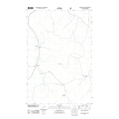 2011 Limestone Butte2011 Print · USGSJudith Basin County ranchlands and forest at the start of the 2010s show a landscape of deep canyons and seasonal creeks. Researchers can locate the Kibby settlement and Kibbey Cemetery or trace the names of early homesteaders at Colarchik Cabin Coulee.
 - 2011 Map of Raynesford, 2011 Print
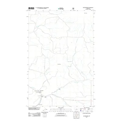 2011 Raynesford2011 Print · USGSRaynesford and the surrounding Judith Basin County landscape are captured here in the early twenty-first century. Genealogists and local historians can trace the foundations of the community through the Raynesford Post Office, the Mann Post Office, and the terrain of Kibbey Canyon.
 - 2011 Map of Wolf Butte NW, 2011 Print
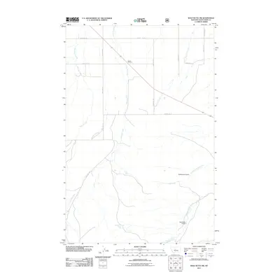 2011 Wolf Butte NW2011 Print · USGSJudith Basin County at the start of the 2010s reveals a vast landscape of high plains drainage and rural transit. Researchers can trace the meandering paths of Lone Tree Creek and McCarthy Creek or locate the 16n10e21ads_01 Spring.
 - 2011 Map of Bandbox Mountain, 2011 Print
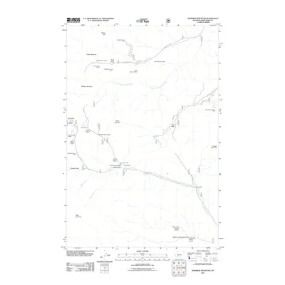 2011 Bandbox Mountain2011 Print · USGSThe Little Belt Mountains near Judith Basin County are captured here in a moment of modern transition that preserves deep mining roots. Local researchers can pinpoint historical sites like the Old Yogo Townsite, the Gold Bug Mine, and the Skunk Gulch Placer Mine.
 - 2011 Map of Ettien Spring, 2011 Print
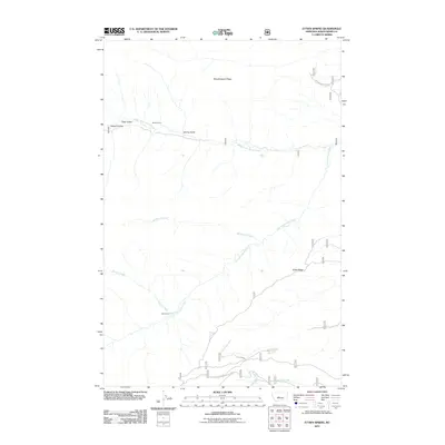 2011 Ettien Spring2011 Print · USGSUpper Judith Basin County at the start of the decade shows a remote landscape of mountain ridges and canyon streams. Researchers can locate isolated landmarks like Korell Cabin and trace forest routes through 5 Corners and Ettien Ridge.
 - 2011 Map of Browns Canyon, 2011 Print
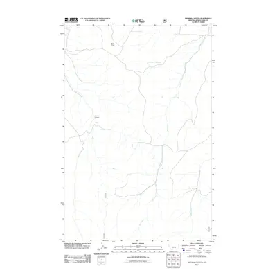 2011 Browns Canyon2011 Print · USGSJudith Basin County remains a landscape of dramatic elevation and deep-cut drainages in the early twenty-first century. Researchers can trace the rugged contours of Browns Canyon and Antelope Gorge or locate specific water sources like 13N12E27DD__01 Spring.
 - 2011 Map of Elephant Rocks, 2011 Print
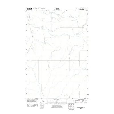 2011 Elephant Rocks2011 Print · USGSWheatland County ranchlands are documented here at the start of the decade, showing the drainage patterns of the Judith Gap vicinity. Researchers can locate named landmarks like the C Volf Dam and trace the winding paths of Ross Fork Creek and Mills Coulee.
 - 2011 Map of Sand Point, 2011 Print
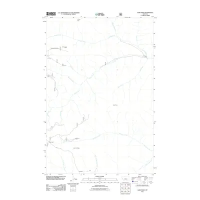 2011 Sand Point2011 Print · USGSThe high country of Judith Basin County in the 2010s remains a landscape of isolated ranching and mountain prospecting. Genealogists and historians can trace old mining claims like the Our Only Chance Mine or find remote landmarks such as Middle Fork Ranch and Ant Park.
 - 2011 Map of Hoover Spring, 2011 Print
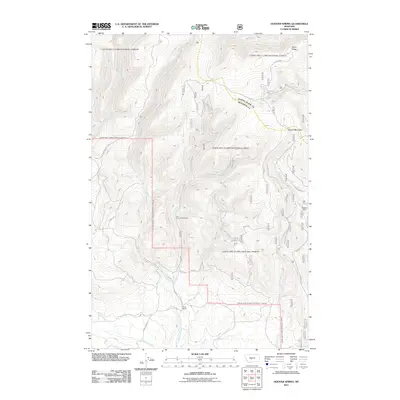 2011 Hoover Spring2011 Print · USGSHigh in the Little Belt Mountains during the early twenty-first century, this area marks a rare hydrological triple divide between the Smith, Musselshell, and Judith rivers. Researchers can trace remote landmarks like Brock Ranch, the Lion Creek Campground, and the waters of Hoover Spring.
 - 2011 Map of Utica, 2011 Print
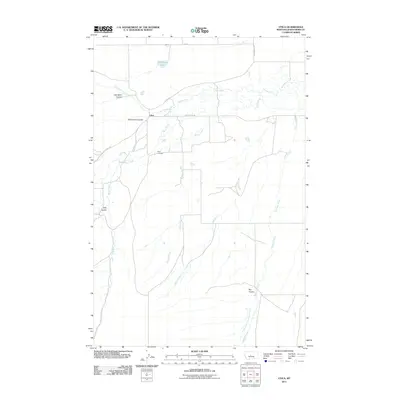 2011 Utica2011 Print · USGSCentral Montana cattle country near the Judith River is mapped here in the early twenty-first century. Researchers can trace land ties and local landmarks like the Utica Cemetery, Red Shed Lake, and the winding waters of Antelope Creek.
 - 2011 Map of Judith Gap, 2011 Print
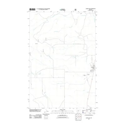 2011 Judith Gap2011 Print · USGSThe Judith Gap area is captured here during the early twenty-first century, showing the small-town hub and its relationship to the surrounding plains and coulees. Researchers can find the locations of Ubet Cemetery, Judith Gap Post Office, and the high point of Oka Butte.
 - 2011 Map of Neihart, 2011 Print
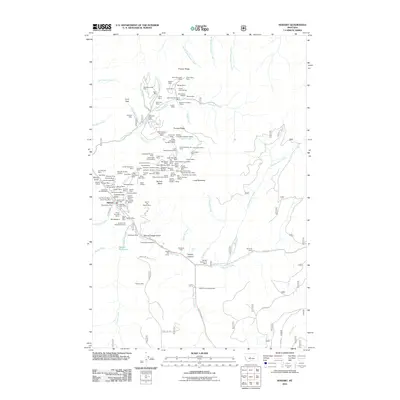 2011 Neihart2011 Print · USGSThe mining community of Neihart is shown at the start of the 2010s, centered in the steep canyon of Belt Creek. Genealogists and historians can trace an incredible concentration of legacy mining sites, including the Silver Dyke Mine, Big Seven Mine, and Old Crow Mine.
 - 2011 Map of Russian Flat, 2011 Print
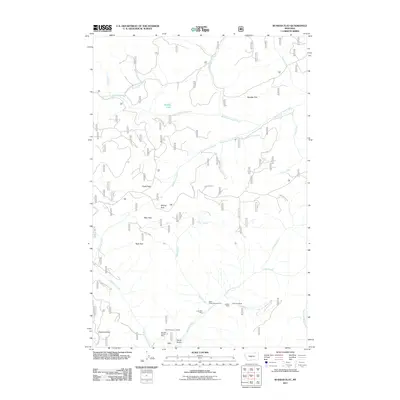 2011 Russian Flat2011 Print · USGSJudith Basin County's high meadows and mining history are captured here in the early twenty-first century. Researchers can trace historic mineral prospects like the Jumbo Mine and Lucky Boy Mine or locate the Basin Creek Campground near the river forks.
 - 2011 Map of Indian Hill, 2011 Print
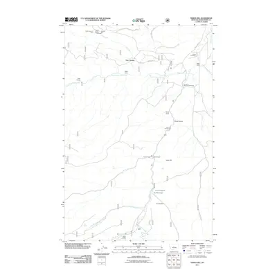 2011 Indian Hill2011 Print · USGSThe upper Judith River basin is shown here as a landscape of mining history and high-country recreation during the early twenty-first century. Researchers can locate active or historic workings like the Vortex Mine and trace the confluence of river forks at Yogo Crossing.
 - 2011 Map of Red Hill, 2011 Print
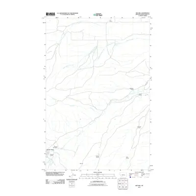 2011 Red Hill2011 Print · USGSThe Judith River breaks the high plains of central Montana in this early 21st-century record of rural Judith Basin County. Genealogists and local historians can locate the Larson Cemetery, the remote Sapphire Village, and early irrigation features like Belden Ditch.
 - 2011 Map of Daisy Peak, 2011 Print
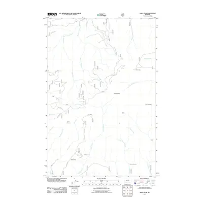 2011 Daisy Peak2011 Print · USGSThe high Montana ridges of Wheatland County are captured here in the early twenty-first century, documenting a landscape of peaks and mountain parks. Researchers can trace remote routes like Findon Ln Rd through the terrain surrounding Daisy Peak and Johnson Park.
 - 2011 Map of Sipple, 2011 Print
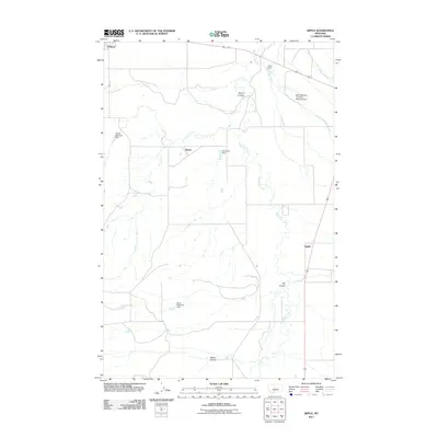 2011 Sipple2011 Print · USGSJudith Basin County ranching and water management are front and center in this early 21st-century survey of the Montana prairie. Researchers can trace the water systems of Ross Fork Creek and find family-named landmarks like the Miller Brothers Livestock Reservoir Dam and Hauck.
 - 2011 Map of Buffalo, 2011 Print
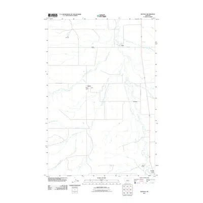 2011 Buffalo2011 Print · USGSFergus County at the start of the 2010s reveals a prairie landscape tied together by small settlements and winding creek beds. Genealogists and local historians can trace family ties at Buffalo Cemetery and explore the surroundings of Straw and Buffalo.
 - 2011 Map of Mead Creek, 2011 Print
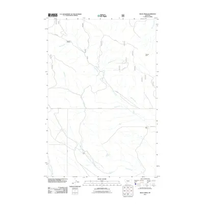 2011 Mead Creek2011 Print · USGSWheatland County ranching country comes into focus in this recent survey of the Montana plains. Genealogists and local researchers can trace the locations of family-held lands like Stone Ranch and Lode Ranch along the banks of Mead Creek.
 - 2011 Map of Twin Sisters, 2011 Print
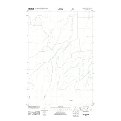 2011 Twin Sisters2011 Print · USGSJudith Basin County in the early twenty-first century is captured here as a landscape of remote drainages and high-plains terrain. Map collectors and researchers can trace the reaches of Antelope Creek and Coyote Creek or locate landmarks like the Twin Sisters.
 - 2011 Map of Martin Coulee, 2011 Print
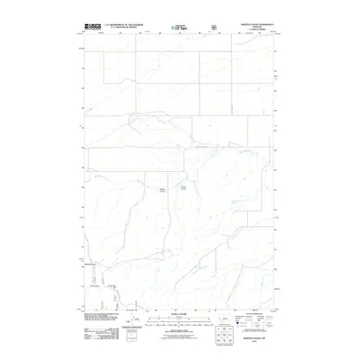 2011 Martin Coulee2011 Print · USGSWheatland County at the start of the decade reveals a quiet, ranching landscape shaped by deep coulees and seasonal creeks. Genealogists and hunters can trace the drainage of Martin Coulee and locate landmarks like Roughlock Hill or the remote Saager Canyon.
 - 2011 Map of Kings Hill, 2011 Print
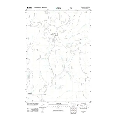 2011 Kings Hill2011 Print · USGSThe high ridges of Meagher County are captured here in the early twenty-first century, centered on the Kings Hill Pass corridor. Researchers can trace forest access via Ranch Creek Rd, locate the Porphyry Peak Lookout, and find historic sites like Forest Green and the Kings Hill Quarry.
 - 2011 Map of Ackley Lake, 2011 Print
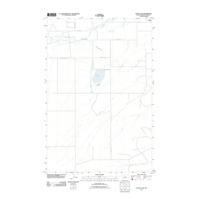 2011 Ackley Lake2011 Print · USGSIn the Judith Basin south of Hobson during the early 2010s, this area centers on the vital waters of the Judith River. Researchers can trace the legacy of early residents at Philbrook Cemetery or examine the irrigation network of the Ackley Lake Feeder Canal.
 - 2011 Map of Jellison Place, 2011 Print
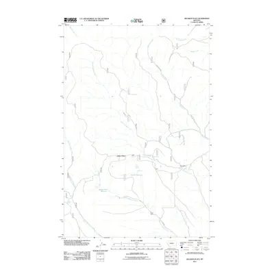 2011 Jellison Place2011 Print · USGSWheatland County ranch lands are documented here in the early twenty-first century, showing a landscape shaped by vital water sources. Researchers can trace land use through named features like Jellison Place, Capser Ranch, and Boecher Spring.
 - 2011 Map of Yogo Peak, 2011 Print
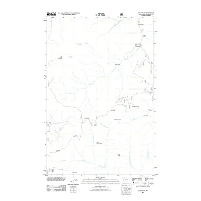 2011 Yogo Peak2011 Print · USGSJudith Basin County's high-mountain mining districts are mapped here as they appeared in 2011. You can trace the complex drainage system of Dry Wolf Creek and locate historic industrial sites like the Candy Mine and NE SE Section 36 Mine.
Showing maps 1-25 of 270
Top cities of Judith Basin County
Frequently asked questions
- What are the different types of historical maps available for Judith Basin County?
- What is the oldest map of Judith Basin County?
- Where can I purchase historical maps of Judith Basin County for my home or office?
- Where can I download high-res historical maps of Judith Basin County?
- Are there historical topographic maps available for Judith Basin County?
- Is there historical aerial imagery available for Judith Basin County?
- Where are historical maps of Judith Basin County sourced from?