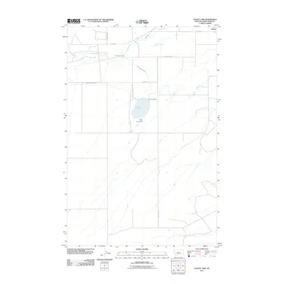
2011 Map of Ackley Lake
USGS Topo · Published 2011About this map
The Judith River meanders through the northern reaches of this Judith Basin County landscape, where the town of Hobson sits along the Utica Hwy. This area serves as a critical junction of agricultural water management and public recreation, centered on the Ackley Lake reservoir. The complex hydraulic system including the Ackley Lake Feeder Canal, Ackley Lake Outlet Canal, and Murray Ditch illustrates the vital role of irrigation in this Montana prairie environment. For those researching local history, the Philbrook Cemetery provides a grounded connection to early residents near the river. Public land use is prominent here, with Ackley State Park and the Ackley Lake Campground framing the lake's eastern shore near the Ackley Lake Dam. The terrain is characterized by broad coulees and drainage patterns that feed into the Judith River basin, reflecting the rural character of the region in the early 21st century.
Find a feature on this map
15 named features on this map. Tap any name to fly to it.
Don’t see what you’re looking for? This feature index may not catch every label — zoom into the map to look around manually.
Map Details
Editions of this 2011 Ackley Lake Map
This is the sole edition of this map. No revisions or reprints were ever made.
Other maps of this area

1886 · Little Belt Mts.
USGS Topo · 1:250,000

1889 · Big Snowy Mountain
USGS Topo · 1:250,000

1890 · Fort Benton
USGS Topo · 1:250,000

1892 · Fort Benton
USGS Topo · 1:250,000

1893 · Big Snowy Mountain
USGS Topo · 1:250,000

1894 · Little Belt Mts.
USGS Topo · 1:250,000

1897 · Fort Benton
USGS Topo · 1:250,000

1897 · Little Belt Mts.
USGS Topo · 1:250,000

1898 · Little Belt Mts.
USGS Topo · 1:250,000

1902 · Little Belt Mts.
USGS Topo · 1:250,000