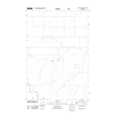
2011 Map of Martin Coulee
USGS Topo · Published 2011About this map
Martin Coulee and its neighboring drainage systems define this section of Wheatland County, where the topography transition between high plains and the carved breaks of the Central Montana landscape. The area is characterized by a series of significant erosional features, including the deep recesses of Buffalo Canyon and Dark Canyon, which cut through the terrain near the base of Roughlock Hill. Water sources are sparse but critical, evidenced by the named 12N14E13CA 01 Spring and the meandering paths of Coyote Creek and West Buffalo Creek. This 2011 survey by the U.S. Geological Survey reflects the enduring rural character of the region, where infrastructure is limited to thoroughfares such as Ackley Lake Rd and Buffalo Canyon Rd. The map provides a precise look at the land's contours and the specific naming of remote natural landmarks like Saager Canyon.
Find a feature on this map
13 named features on this map. Tap any name to fly to it.
Don’t see what you’re looking for? This feature index may not catch every label — zoom into the map to look around manually.
Map Details
Editions of this 2011 Martin Coulee Map
This is the sole edition of this map. No revisions or reprints were ever made.
Other maps of this area

1886 · Little Belt Mts.
USGS Topo · 1:250,000

1889 · Big Snowy Mountain
USGS Topo · 1:250,000

1893 · Big Snowy Mountain
USGS Topo · 1:250,000

1894 · Little Belt Mts.
USGS Topo · 1:250,000

1897 · Little Belt Mts.
USGS Topo · 1:250,000

1898 · Little Belt Mts.
USGS Topo · 1:250,000

1902 · Little Belt Mts.
USGS Topo · 1:250,000

1948 · White Sulphur Springs
USGS Topo · 1:250,000

1954 · Roundup
USGS Topo · 1:250,000

1958 · Roundup
USGS Topo · 1:250,000