2000s (21st Century) Maps of Polson, Montana
Explore 10 historic maps of Polson from the 2000s (21st Century). These maps offer a rare glimpse into what life looked like during the 2000s — showing old roads, neighborhoods, homes, and landmarks that have changed or disappeared over time.
Whether you're researching your family's past, planning a metal detecting trip, or studying how Polson's landscape evolved across the 2000s, these high-resolution maps are a powerful tool for exploring the history of this region.
- Focus on a specific era: All maps on this page are from the 2000s, giving you a focused view of this time period.
- See what’s changed: Compare century-old streets, trails, and buildings to today's modern landscape using overlays and satellite layers.
- Research with precision: Use these maps for genealogy, historical research, land use analysis, or educational projects.
- View, download, or print: Maps are fully viewable online in high resolution, and can be downloaded or printed for your own records.
Start exploring Polson's history through authentic maps from the 2000s. This is your window into the past.
Polson, MT maps
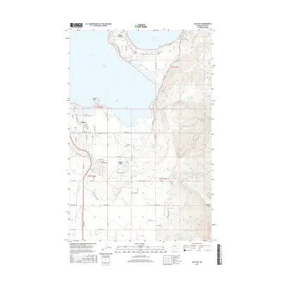
(10)- 2011 Map of East Bay, 2011 Print
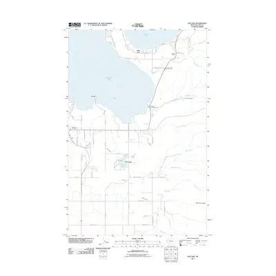 2011 East Bay2011 Print · USGSCovers Polson, including Finley Point, Turtle Lake, and other nearby areas
 - 2011 Map of Polson, 2011 Print
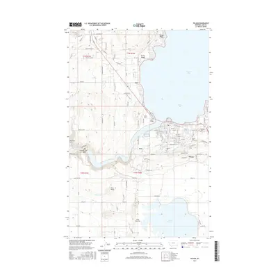
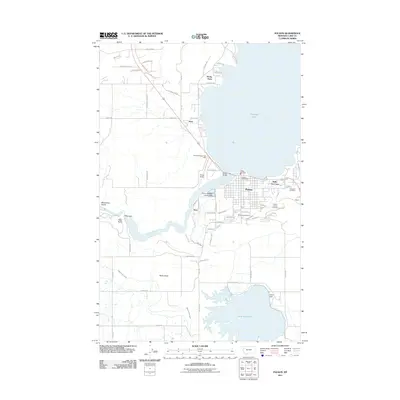 2011 Polson2011 Print · USGSCovers Polson, including Rocky Point, Belle-Vue Court, and other nearby areas
 - 2014 Map of Polson, 2014 Print
 2014 Polson2014 Print · USGSCovers Polson, including Rocky Point, Belle-Vue Court, and other nearby areas
 - 2014 Map of East Bay, 2014 Print
 2014 East Bay2014 Print · USGSCovers Polson, including Finley Point, Turtle Lake, and other nearby areas
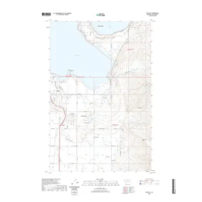
 - 2017 Map of East Bay, 2017 Print
 2017 East Bay2017 Print · USGSCovers Polson, including Finley Point, Turtle Lake, and other nearby areas
 - 2017 Map of Polson, 2017 Print
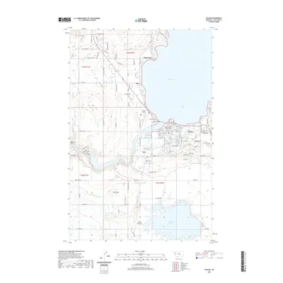
 2017 Polson2017 Print · USGSCovers Polson, including Rocky Point, Belle-Vue Court, and other nearby areas
 - 2020 Map of East Bay, 2020 Print
 2020 East Bay2020 Print · USGSCovers Polson, including Finley Point, Turtle Lake, and other nearby areas
 - 2020 Map of Polson, 2020 Print
 2020 Polson2020 Print · USGSCovers Polson, including Rocky Point, Belle-Vue Court, and other nearby areas
 - 2024 Map of East Bay, 2024 Print
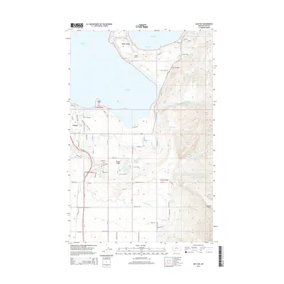
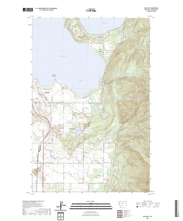 2024 East Bay2024 Print · USGSThe southern shores of Flathead Lake and the Mission Range come into focus in this recent Lake County study. Researchers can trace the water systems of the Pablo Feeder Canal and Hellroaring Reservoir, alongside settlements at Polson and Finley Point.
 - 2024 Map of Polson, 2024 Print
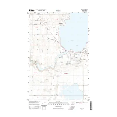
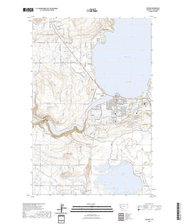 2024 Polson2024 Print · USGSThe southern tip of Flathead Lake and the town of Polson are captured here in the early 2020s. Researchers can trace local lineage at Lakeview Cem or map the complex irrigation network of the Polson B Canal and Pablo Reservoir.
End of results
Showing maps 1-10 of 10
Top cities near Polson
Top neighborhoods of Polson
Frequently asked questions
- What are the different types of historical maps available for Polson?
- What is the oldest map of Polson?
- Where can I purchase historical maps of Polson for my home or office?
- Where can I download high-res historical maps of Polson?
- Are there historical topographic maps available for Polson?
- Is there historical aerial imagery available for Polson?
- Where are historical maps of Polson sourced from?