Old Maps of Frontier Town, Montana for Genealogy
Trace your family roots with 17 historic maps of Frontier Town. These high-res maps reveal old neighborhoods, homesites, landmarks, and streets — helping you uncover where your ancestors lived and how the area evolved over time.
- Explore historic neighborhoods: Identify where your relatives may have lived in the 1800s or 1900s.
- Compare maps over time: Trace the changes in streets, buildings, and landmarks for multi-generational research.
- Perfect for genealogy & ancestry research: Used by family historians and researchers to map out lineage and migration.
These maps are an incredible resource for exploring your personal connection to Frontier Town's past.
Frontier Town, MT maps
(17)- 1889 Map of Helena
 1889 Helena1889 Print · USGSThe Montana territory is caught in a moment of feverish railroad and mining expansion just before the close of the century. Genealogists and historians can trace early mountain routes and rail stations through settlements like Marysville, Wickes, and the bustling territorial hub of Helena.
 - 1893 Map of Helena
 1893 Helena1893 Print · USGSMontana's gold and silver boom is captured here in the late nineteenth century, showing the rail lines and mining camps radiating from the territorial capital. Genealogists and historians can trace the early layout of Helena or locate vanished sites like Blackfoot City and Gloster.2 unique versions available
 - 1899 Map of Helena, 1956 Print
 1899 Helena1956 Print · USGSThe Montana gold country and the Continental Divide appear here at the close of the nineteenth century. Genealogists and historians can trace the mining and rail networks connecting Helena and Butte, including Pikes Peak Mill, Marysville, and Ft. Harrison.
 - 1903 Map of Helena
 1903 Helena1903 Print · USGSMontana's mining heartland comes alive at the dawn of the new century, from the state capital to the copper-rich summits above the Silver Bow. Trace the early rail lines serving Marysville, locate the historic barracks of Ft. Harrison, and follow the mountain trails through Mullan Pass.4 unique versions available
 - 1947 Map of Butte, 1949 Print
 1947 Butte1949 Print · USGSWestern Montana at the peak of its rail-and-river era shows the vital connections between the mining and industrial centers of Butte and Helena. Researchers can trace the three major railroad lines serving mountain settlements like Garrison, Philipsburg, and Warm Springs.2 unique versions available
 - 1958 Map of Butte
 1958 Butte1958 Print · USGSWestern Montana's mining and rail corridors are captured in the late fifties, from the urban bustle of the Copper King cities to high mountain passes. Researchers can trace the path of the Milwaukee St Paul and Pacific through Deer Lodge and locate remote outposts like Potomac Post Office.5 unique versions available
 - 1959 Map of Elliston, 1961 Print
 1959 Elliston1961 Print · USGSThe mountain passes of the Continental Divide appear in great detail here in the late fifties as the mining and railroad era evolved. Local historians can trace the Northern Pacific line past Blossburg or locate old operations like the Strawberry Mine and Ophir Cave.3 unique versions available
 - 1960 Map of Butte
 1960 Butte1960 Print · USGSWestern Montana at the dawn of the sixties is defined by its industrial mining hubs and the railroads that connect them. Genealogists and historians can trace the routes of the Milwaukee Road through Butte or locate smaller settlements like Southern Cross and Bearmouth.
 - 1962 Map of Butte
 1962 Butte1962 Print · USGSWestern Montana in the early sixties remains a landscape of industrial muscle and high-mountain passes. Trace the rail lines of the Northern Pacific through Deer Lodge and the mining history around Anaconda and Philipsburg.
 - 1975 Map of Elliston, 1993 Print
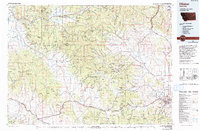 1975 Elliston1993 Print · USGSWestern Montana's rugged high-country comes into focus during the mid-seventies, showing the intersection of heavy industry and wilderness. Genealogists and historians can trace rail lines like the Milwaukee Road and locate remote sites such as the Swansea Mine or Wall City.
 - 1989 Map of Mac Donald Pass
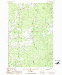 1989 Mac Donald Pass1989 Print · USGSThe Continental Divide serves as the backbone for this late-1980s look at the high mountain passes between Powell and Lewis and Clark Counties. Researchers can trace historic mining activity at the Third Term Mine or locate the community at Frontier Town and Camp Thunderbird.2 unique versions available
 - 2001 Map of Macdonald Pass, 2004 Print
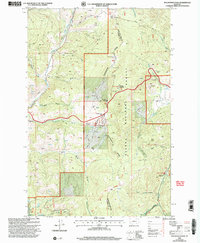 2001 Macdonald Pass2004 Print · USGSThe Continental Divide serves as the backbone of this high-altitude landscape at the start of the new millennium. Researchers can trace the path of the Cromwell-Dixon Pipeline or locate mining artifacts at Rich Spur and Frontier Town.
 - 2011 Map of MacDonald Pass, 2011 Print
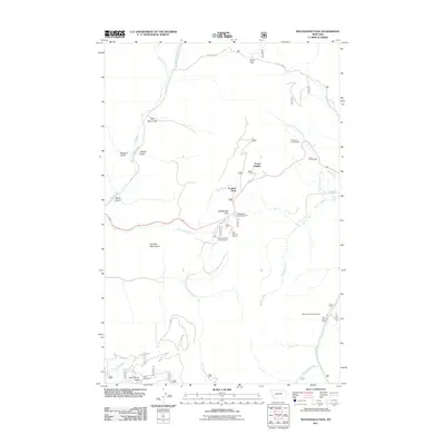 2011 MacDonald Pass2011 Print · USGSThe high passes of the Boulder Mountains are captured here in the early twenty-first century, detailing the rugged crossings between Lewis and Clark and Powell counties. Researchers can locate the historic Third Term Mine or trace the routes to Frontier Town and the Cromwell Dixon Campground.
 - 2014 Map of MacDonald Pass, 2014 Print
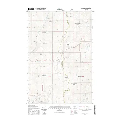 2014 MacDonald Pass2014 Print · USGSThe high mountain passes west of Helena are captured in this mid-2010s survey, showing the rugged topography where the Continental Divide splits the forest. Map collectors and historians can trace the paths of the Old Homestead Trl and Priests Pass Rd through Frontier Town.
 - 2017 Map of MacDonald Pass, 2017 Print
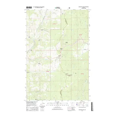 2017 MacDonald Pass2017 Print · USGSThe high Montana crest between Lewis and Clark and Powell counties is captured here in the years before the recent decade. Researchers can trace the winding Continental Divide across MacDonald Pass and locate local landmarks like Frontier Town and Priest Pass.
 - 2020 Map of MacDonald Pass, 2020 Print
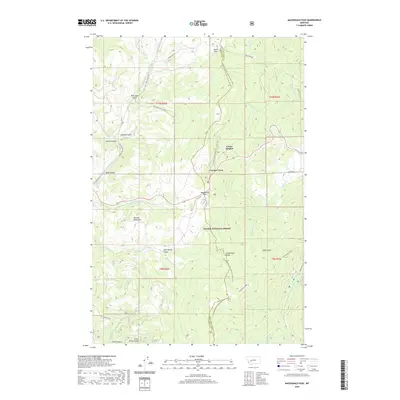 2020 MacDonald Pass2020 Print · USGSThe high mountain passes of the Continental Divide come into sharp focus in this recent survey of the Montana Rockies. Trace the intersection of historic travel and modern recreation at Frontier Town, MacDonald Pass, and along the Continental Divide National Scenic Trail.
 - 2024 Map of MacDonald Pass, 2024 Print
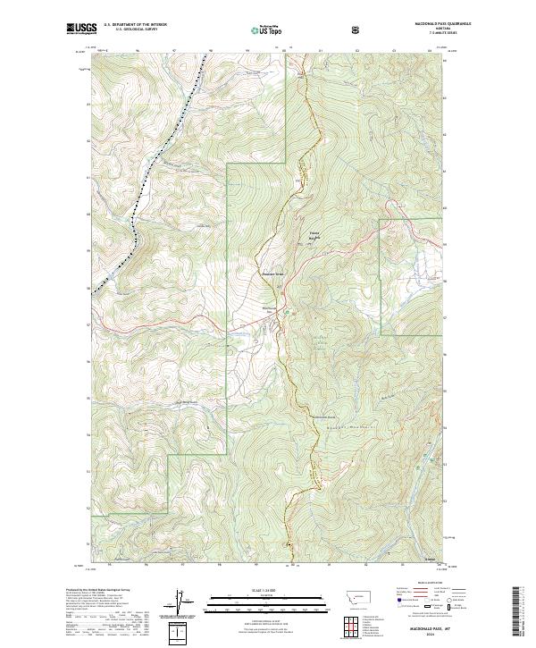 2024 MacDonald Pass2024 Print · USGSThe Continental Divide at the Lewis and Clark and Powell County line remains a vital mountain crossing. Researchers can trace historical routes over MacDonald Pass and locate high-country settlements like Rimini and Frontier Town.
End of results
Showing maps 1-17 of 17
Top cities near Frontier Town
Frequently asked questions
- What are the different types of historical maps available for Frontier Town?
- What is the oldest map of Frontier Town?
- Where can I purchase historical maps of Frontier Town for my home or office?
- Where can I download high-res historical maps of Frontier Town?
- Are there historical topographic maps available for Frontier Town?
- Is there historical aerial imagery available for Frontier Town?
- Where are historical maps of Frontier Town sourced from?