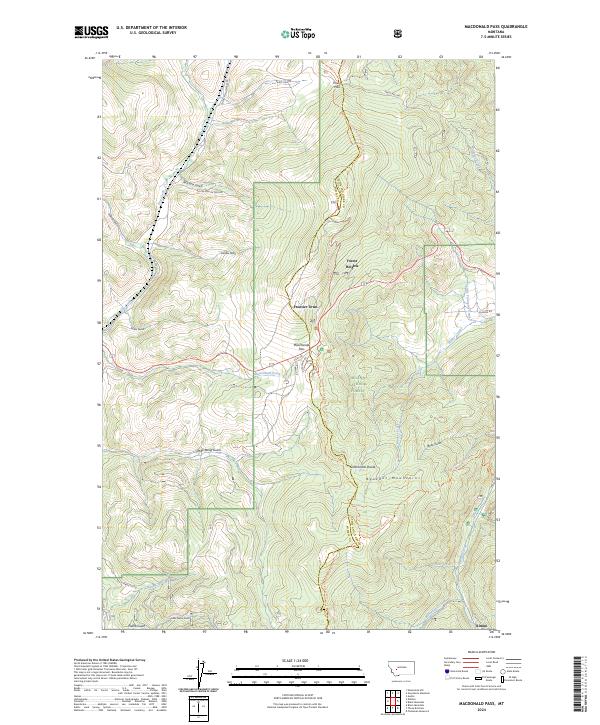
2024 Map of MacDonald Pass
USGS Topo · Published 2024About this map
Rimini and the surrounding heights of the Boulder Mountains anchor this section of the Continental Divide in the Helena National Forest. The landscape is defined by the high-elevation transition between Lewis and Clark and Powell Counties, where numerous gulches like Rich Spur Gulch and Mike Renig Gulch drain into the headwaters of Tenmile Creek and MacDonald Creek. Modern infrastructure follows historical routes over the mountain crest, with Austin Mullan Pass Rd and Priest Pass Rd crossing the divide near MacDonald Pass. Small settlements such as Frontier Town and Forest Heights are positioned along these corridors, reflecting the area's long-standing role as a gateway through the continental spine. The network of forest roads and the Continental Divide National Scenic Trl highlight a terrain traditionally utilized for both extraction and passage.
Find a feature on this map
37 named features on this map. Tap any name to fly to it.
Don’t see what you’re looking for? This feature index may not catch every label — zoom into the map to look around manually.
Map Details
Editions of this 2024 MacDonald Pass Map
This is the sole edition of this map. No revisions or reprints were ever made.
Other maps of this area

1889 · Helena
USGS Topo · 1:250,000

1893 · Helena
USGS Topo · 1:250,000

1899 · Boulder
USGS Topo · 1:125,000

1899 · Helena
USGS Topo · 1:250,000

1903 · Helena
USGS Topo · 1:250,000

1947 · Butte
USGS Topo · 1:250,000

1950 · Jefferson City
USGS Topo · 1:62,500

1950 · Helena
USGS Topo · 1:62,500

1954 · Basin
USGS Topo · 1:62,500

1958 · Butte
USGS Topo · 1:250,000