Old Maps of Sylvanite, Montana for Hiking & Exploration
Hike through history with 11 historic maps of Sylvanite. Explore old trails, ghost towns, and forgotten backroads — perfect for outdoor adventurers and local explorers.
- Rediscover forgotten places: Map out old mining camps, roads, and footpaths that no longer exist on modern maps.
- Layer with modern tools: Combine with LiDAR or satellite views to plan hikes through historical terrain.
- Made for exploration: Popular among hikers, overlanders, and local history lovers.
Use these maps to find adventure and explore the hidden past of Sylvanite.
Sylvanite, MT maps
(11)- 1957 Map of Kalispell, 1967 Print
 1957 Kalispell1967 Print · USGSNorthwest Montana in the late fifties showcases a mountain landscape transitioning between wilderness and industry. Genealogists and researchers can trace the Great Northern rail corridor through Kalispell and Whitefish, or locate landmarks like the Montana Soldiers Home and Hungry Horse Reservoir.3 unique versions available
 - 1960 Map of Kalispell
 1960 Kalispell1960 Print · USGSNorthwest Montana in the late fifties is defined by the mountain corridors of the Great Northern Railway and the vast reaches of Glacier National Park. Researchers can trace the legacy of timber and mining towns like Libby, Rexford, and Whitefish, or locate landmarks such as the Snowshoe Mine.
 - 1961 Map of Kalispell
 1961 Kalispell1961 Print · USGSNorthwestern Montana at the start of the 1960s shows a landscape of timber-driven rail towns and the sprawling wild lands of Glacier National Park. Genealogists and historians can trace the route of the Great Northern through mountain passes or locate old settlements like Fortine, Trego, and Warland.
 - 1963 Map of Sylvanite, 1966 Print
 1963 Sylvanite1966 Print · USGSSylvanite and the Yaak River valley are captured in the early sixties during a period of active timber management and mining. Researchers can locate the Morning Glory Mine, trace old Pack Trails, and identify sites like the Ranger Station and Roderick Mountain lookout.
 - 1979 Map of Yaak River, 1993 Print
 1979 Yaak River1993 Print · USGSThe Purcell and Salish Mountains define this corner of Northwest Montana in the late seventies. Researchers can trace remote fire lookouts like Lookout Tower Webb Mountain or study rail towns like Eureka and Rexford along the Burlington Northern.
 - 1997 Map of Sylvanite, 2000 Print
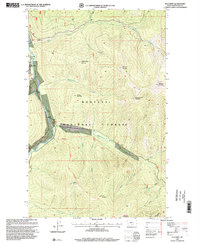 1997 Sylvanite2000 Print · USGSThe Yaak River valley in the late nineties remains a landscape of forest management and mining heritage. Researchers can trace the layout of Sylvanite, locate the Morning Glory Mine, and follow the Skyline Recreation Trail through the high peaks.
 - 2011 Map of Sylvanite, 2011 Print
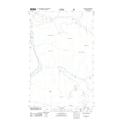 2011 Sylvanite2011 Print · USGSNorthwestern Montana at the start of the 2010s shows a landscape of timber and mountain peaks centered on the Yaak River. Researchers can trace old forest service roads and drainages like Seventeenmile Creek near Independence Mountain and Sylvanite.
 - 2014 Map of Sylvanite, 2014 Print
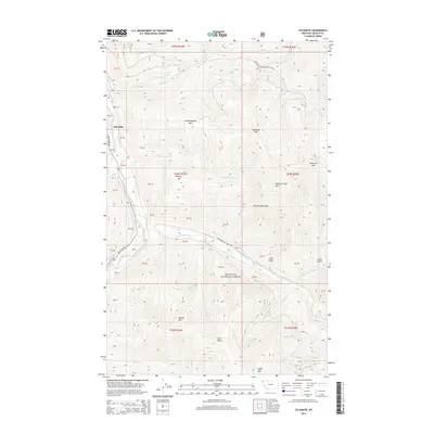 2014 Sylvanite2014 Print · USGSThe mountain community of Sylvanite is documented here in the early twenty-first century as it sits among the high peaks of the Kootenai National Forest. Researchers can trace the drainage of the Yaak River and the rugged access roads leading toward Independence Mtn and Roderick Mtn.
 - 2017 Map of Sylvanite, 2017 Print
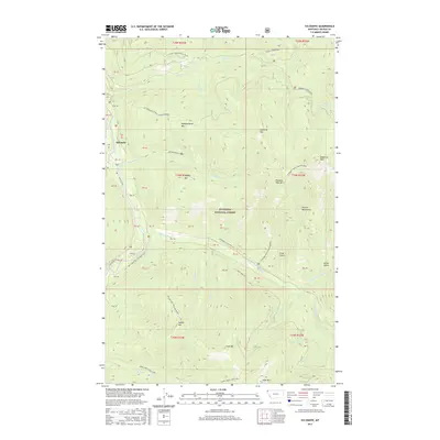 2017 Sylvanite2017 Print · USGSThe remote Northwest Montana backcountry near the Canadian border is documented here in the late twenty-teens. Trace the steep topography of the Purcell Mountains and locate the historic settlement at Sylvanite along the Yaak River.
 - 2020 Map of Sylvanite, 2020 Print
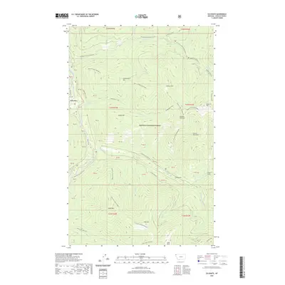 2020 Sylvanite2020 Print · USGSThe Yaak River valley in northwest Montana is shown here as it appeared in recent years, dominated by the timbered heights of the Purcell Mountains. Local historians can trace the settlement at Sylvanite and follow remote drainages like Seventeenmile Cr and Crum Gulch.
 - 2024 Map of Sylvanite, 2024 Print
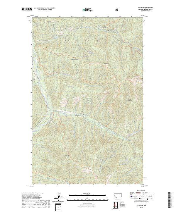 2024 Sylvanite2024 Print · USGSNorthwestern Montana's mountain forests and river valleys are captured here in the twenty-first century, centered on the settlement of Sylvanite. Researchers can trace the rugged network of the Skyline National Recreation Trl and family-named peaks like Dooley Mtn and Roderick Mountain.
End of results
Showing maps 1-11 of 11
Frequently asked questions
- What are the different types of historical maps available for Sylvanite?
- What is the oldest map of Sylvanite?
- Where can I purchase historical maps of Sylvanite for my home or office?
- Where can I download high-res historical maps of Sylvanite?
- Are there historical topographic maps available for Sylvanite?
- Is there historical aerial imagery available for Sylvanite?
- Where are historical maps of Sylvanite sourced from?