Old Maps of Frenchtown, Montana for Metal Detecting
Plan your next treasure hunt with 9 historic maps of Frenchtown. Find old homesites, ghost towns, trails, and gathering spots that may be lost to time — perfect for identifying promising metal detecting locations.
- Locate forgotten sites: Uncover places like long-lost settlements, abandoned rail lines, or gathering spots.
- Plan better hunts: Use map overlays combined with LiDAR or satellite views to narrow in on historically rich areas.
- Made for detectorists: Thousands of hobbyists use these maps to discover relics, coins, and hidden history.
Use these historic maps to boost your research and find new opportunities beneath the surface of Frenchtown.
Frenchtown, MT maps
(9)- 1956 Map of Wallace, 1966 Print
 1956 Wallace1966 Print · USGSWestern Montana and the Idaho panhandle meet in this mid-century survey of the Bitterroot and Cabinet Mountains. Genealogists and historians can trace the rail-and-river economy through the Northern Pacific line and settlements like Thompson Falls or St. Ignatius.3 unique versions available
 - 1959 Map of Arlee, 1961 Print
 1959 Arlee1961 Print · USGSThe Flathead Indian Reservation and Jocko River valley are shown here in the late fifties, during a period of established ranching and rail activity. Genealogists and historians can locate family landmarks like Nielson Ranch, the Mission Ch, and the Frenchtown Cem.3 unique versions available
 - 1960 Map of Wallace
 1960 Wallace1960 Print · USGSNorthwestern Montana and the Idaho panhandle are captured in the late fifties, showing the vast Flathead Indian Reservation and the mining districts of the Bitterroot Range. Researchers can trace the rail lines of the Northern Pacific or locate early sites like the Morning Mine and the National Bison Range.
 - 1984 Map of Frenchtown
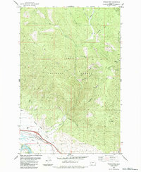 1984 Frenchtown1984 Print · USGSFrenchtown and the Clark Fork valley are seen here in the mid-1980s as the community expanded near the national forest boundary. Researchers can trace the Northern Pacific Railroad Grade and irrigation works like the Frenchtown Irrigation District Ditch.
 - 2011 Map of Frenchtown, 2011 Print
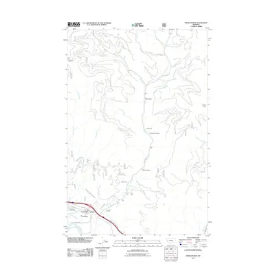 2011 Frenchtown2011 Print · USGSFrenchtown and the Missoula County high country come into focus in the early 21st century. Genealogists and local historians can locate the Frenchtown Cemetery, family sites like the Baldwin Ranch, and the Edith Peak Lookout.
 - 2014 Map of Frenchtown, 2014 Print
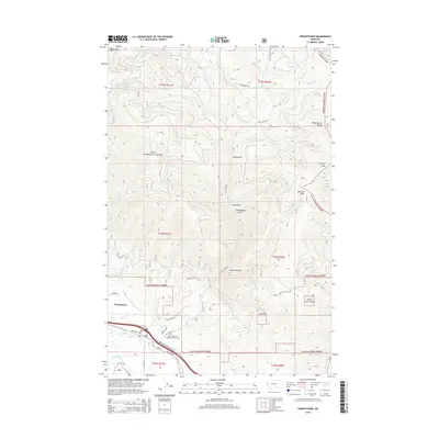 2014 Frenchtown2014 Print · USGSFrenchtown is shown during a period of sustained growth within the Clark Fork valley during the mid-2010s. Researchers can trace local landmarks like Saint John the Baptist Catholic Cem or follow the path of the Frenchtown Irrigation District Ditch.
 - 2017 Map of Frenchtown, 2017 Print
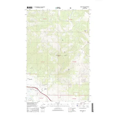 2017 Frenchtown2017 Print · USGSFrenchtown and the Clark Fork valley are shown here in the late twenty-first century as agricultural lands meet the timbered slopes of the Lolo National Forest. Researchers can trace old valley routes like Mullan Rd or locate the Saint John the Baptist Catholic Cem.
 - 2020 Map of Frenchtown, 2020 Print
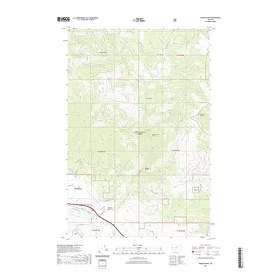 2020 Frenchtown2020 Print · USGSFrenchtown and the Lolo National Forest are shown in high detail in the early 2020s as the valley's irrigation and roads meet the mountain gulches. Trace local history at Saint John the Baptist Catholic Cem or follow the Frenchtown Irrigation District Ditch through the valley.
 - 2024 Map of Frenchtown, 2024 Print
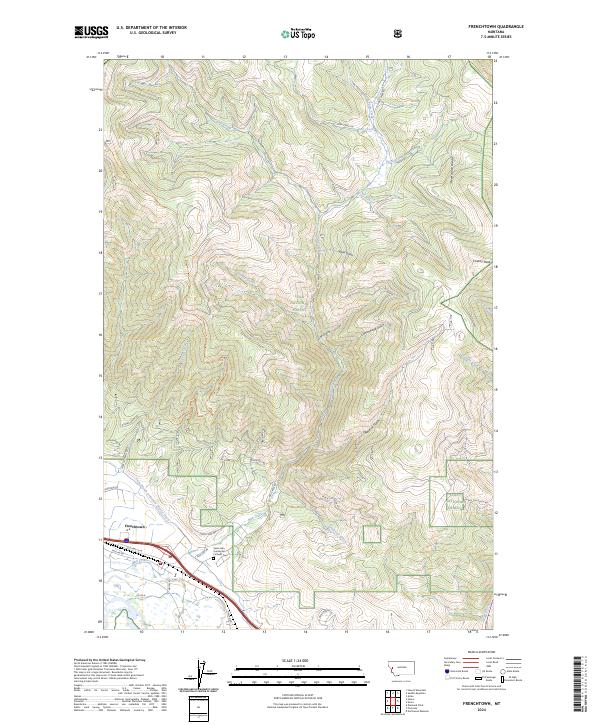 2024 Frenchtown2024 Print · USGSMissoula County valley life meets the timbered slopes of the Lolo National Forest in this contemporary Montana survey. Genealogists and local historians can locate Frenchtown landmarks and the Saint John the Baptist Catholic Cem near the historic Mullan Rd corridor.
End of results
Showing maps 1-9 of 9
Top cities near Frenchtown
Frequently asked questions
- What are the different types of historical maps available for Frenchtown?
- What is the oldest map of Frenchtown?
- Where can I purchase historical maps of Frenchtown for my home or office?
- Where can I download high-res historical maps of Frenchtown?
- Are there historical topographic maps available for Frenchtown?
- Is there historical aerial imagery available for Frenchtown?
- Where are historical maps of Frenchtown sourced from?