Old Maps of North Reserve, Missoula
Explore 13 old maps of North Reserve, spanning from 1912 to today. These high-resolution historic maps reveal how streets, neighborhoods, landmarks, and natural features evolved over time — perfect for genealogy, metal detecting, research, and local history exploration.
What you can do with these maps:
- See how North Reserve changed over time: Compare historical maps to modern-day views to trace roads, homesites, rail lines & more.
- View detailed metadata: Each map includes creators, publishers, year, scale, and archive source.
- Overlay maps with satellite & LiDAR: Visualize the past alongside modern tools to explore terrain & human change.
- Trusted historical sources: Maps sourced from the USGS, Library of Congress, and other archives.
- Access maps your way: View online, download high-res files, or order prints for personal or research use.
Start exploring old maps of North Reserve to uncover forgotten places, hidden landmarks, and the deep history beneath your feet.
North Reserve, Missoula maps
(13)- 1912 Map of Missoula
 1912 Missoula1912 Print · USGSWestern Montana at the end of the frontier era shows a landscape of growing rail hubs and remote mountain outposts. Researchers can trace early river crossings like Alberts Ferry, the grounds of Ft Missoula, and vanished schools such as Big Flat School.4 unique versions available
 - 1956 Map of Hamilton, 1970 Print
 1956 Hamilton1970 Print · USGSThe Bitterroot Valley and surrounding high country are captured here during the mid-fifties, showing the region's transition into a modern forest-and-rail hub. Genealogists and historians can trace family-named sites and early infrastructure from Fort Missoula to towns like Stevensville and Darby along the Northern Pacific line.2 unique versions available
 - 1959 Map of Hamilton
 1959 Hamilton1959 Print · USGSThe Bitterroot Valley and surrounding wilderness are captured in the late fifties, showing a landscape defined by forestry and river-based settlement. Researchers can trace the Lolo Trail or locate historical points like Fort Missoula and the Fred Burr Reservoir.
 - 1960 Map of Hamilton
 1960 Hamilton1960 Print · USGSThe Bitterroot Valley and surrounding high country are captured here during the late fifties, showing the region's transition into a modern forest and rail corridor. Researchers can trace the path of the Northern Pacific through Missoula or locate landmarks like Fort Missoula and Lake Como.
 - 1964 Map of Hamilton
 1964 Hamilton1964 Print · USGSThe Bitterroot Valley and its surrounding peaks are captured in detail during the mid-1960s, showing the early infrastructure of the Northern Rockies. Genealogists and historians can trace family roots in Hamilton and Stevensville or follow the historic Lolo Trail and Nez Perce Trail.
 - 1964 Map of Northwest Missoula, 1967 Print
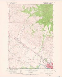 1964 Northwest Missoula1967 Print · USGSMissoula during the mid-sixties shows a growing city meeting the forest edge and a busy aviation corridor. Researchers can trace historic burial sites at the Indian Burial Ground and St Mary Cem, or locate landmarks like the US Forest Service Aerial Fire Depot.3 unique versions available
 - 1981 Map of Missoula West
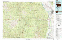 1981 Missoula West1981 Print · USGSThe Bitterroot Valley and the rugged Bitterroot Range are captured here in the early 1980s, documenting the expansion of Missoula and its outlying timber and river towns. Researchers can trace the Burlington Northern rail corridors or locate remote landmarks like Lolo Hot Springs and Lolo Pass.2 unique versions available
 - 1999 Map of Northwest Missoula, 2003 Print
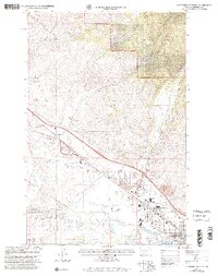 1999 Northwest Missoula2003 Print · USGSMissoula and its northwestern outskirts are captured in the 1990s as the city's industrial and residential zones pushed toward the Lolo National Forest. Researchers can trace old irrigation routes like Flynn Ditch or locate family histories at Missoula Cem and St Mary Cem.
 - 2011 Map of Northwest Missoula, 2011 Print
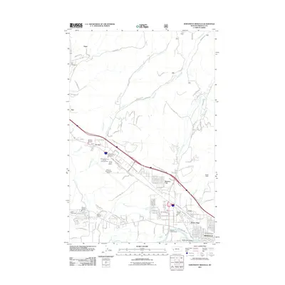 2011 Northwest Missoula2011 Print · USGSThe northwestern outskirts of Missoula and its aviation hub are documented here in the early twenty-first century. Genealogists and local historians can trace family plots at Missoula Cemetery and the industrial growth around De Smet and Travois Village.
 - 2014 Map of Northwest Missoula, 2014 Print
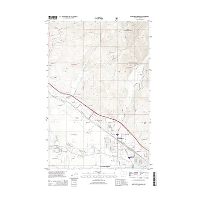 2014 Northwest Missoula2014 Print · USGSMissoula and the surrounding valley floor are shown in the early 2010s as a hub of transport and irrigation. Researchers can trace historic cemeteries such as Missoula Cem, local irrigation via the Flynn Lowney Ditch, and the growth of neighborhoods like Orchard Homes.
 - 2017 Map of Northwest Missoula, 2017 Print
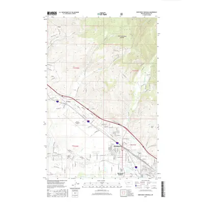 2017 Northwest Missoula2017 Print · USGSThe northwest expansion of Missoula is captured here in the late twenty-tens, showing the city's intersection with the Clark Fork and the North Hills. Trace the development of local neighborhoods like Orchard Homes and the infrastructure around Missoula International Airport.
 - 2020 Map of Northwest Missoula, 2020 Print
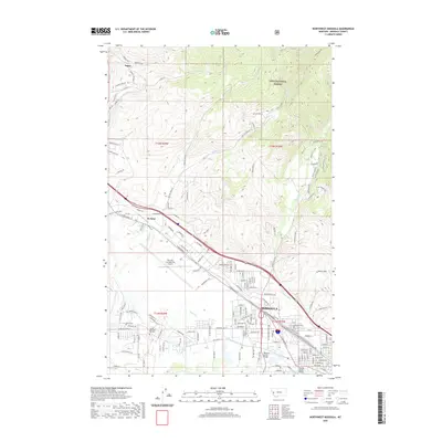 2020 Northwest Missoula2020 Print · USGSMissoula and its northwestern outskirts are documented here in recent years as urban expansion meets the mountain front. Local historians can trace the paths of historic irrigation channels like Flynn Lowney Ditch and find the location of the Missoula Cem.
 - 2024 Map of Northwest Missoula, 2024 Print
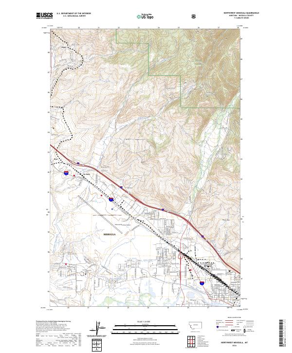 2024 Northwest Missoula2024 Print · USGSThe Missoula valley and its northern timberlands are captured in this contemporary survey, showing the city's modern infrastructure and historic irrigation networks. Researchers can trace burial sites like Missoula Cem or follow the Nelson Ditch.
End of results
Showing maps 1-13 of 13
Frequently asked questions
- What are the different types of historical maps available for North Reserve?
- What is the oldest map of North Reserve?
- Where can I purchase historical maps of North Reserve for my home or office?
- Where can I download high-res historical maps of North Reserve?
- Are there historical topographic maps available for North Reserve?
- Is there historical aerial imagery available for North Reserve?
- Where are historical maps of North Reserve sourced from?