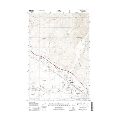
2014 Map of Northwest Missoula
USGS Topo · Published 2014About this map
Missoula and its northwestern suburbs are defined by a complex network of transportation and water management, where Interstate 90 and US Highway 10 W intersect near the settlement of Wye. The landscape transitions from the residential developments of Westview Park and Orchard Homes to the protected slopes of the Lolo National Forest. Significant land use is dedicated to the Missoula International Airport, while local history is etched into the landscape at Missoula Cem and Sunset Memorial Gardens.
Find a feature on this map
143 named features on this map. Tap any name to fly to it.
Don’t see what you’re looking for? This feature index may not catch every label — zoom into the map to look around manually.
Map Details
Editions of this 2014 Northwest Missoula Map
This is the sole edition of this map. No revisions or reprints were ever made.
Other maps of this area

1903 · Bonner
USGS Topo · 1:125,000

1912 · Missoula
USGS Topo · 1:125,000

1921 · Elbow Lake
USGS Topo · 1:125,000

1947 · Butte
USGS Topo · 1:250,000

1955 · Choteau
USGS Topo · 1:250,000

1956 · Wallace
USGS Topo · 1:250,000

1956 · Hamilton
USGS Topo · 1:250,000

1957 · Choteau
USGS Topo · 1:250,000

1958 · Butte
USGS Topo · 1:250,000

1958 · Choteau
USGS Topo · 1:250,000