Old Maps of Nagos, Montana for Hiking & Exploration
Hike through history with 13 historic maps of Nagos. Explore old trails, ghost towns, and forgotten backroads — perfect for outdoor adventurers and local explorers.
- Rediscover forgotten places: Map out old mining camps, roads, and footpaths that no longer exist on modern maps.
- Layer with modern tools: Combine with LiDAR or satellite views to plan hikes through historical terrain.
- Made for exploration: Popular among hikers, overlanders, and local history lovers.
Use these maps to find adventure and explore the hidden past of Nagos.
Nagos, MT maps
(13)- 1912 Map of Missoula
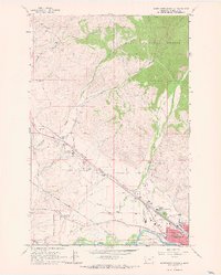
 1912 Missoula1912 Print · USGSWestern Montana at the end of the frontier era shows a landscape of growing rail hubs and remote mountain outposts. Researchers can trace early river crossings like Alberts Ferry, the grounds of Ft Missoula, and vanished schools such as Big Flat School.4 unique versions available
 - 1956 Map of Hamilton, 1970 Print
 1956 Hamilton1970 Print · USGSThe Bitterroot Valley and surrounding high country are captured here during the mid-fifties, showing the region's transition into a modern forest-and-rail hub. Genealogists and historians can trace family-named sites and early infrastructure from Fort Missoula to towns like Stevensville and Darby along the Northern Pacific line.2 unique versions available
 - 1959 Map of Hamilton
 1959 Hamilton1959 Print · USGSThe Bitterroot Valley and surrounding wilderness are captured in the late fifties, showing a landscape defined by forestry and river-based settlement. Researchers can trace the Lolo Trail or locate historical points like Fort Missoula and the Fred Burr Reservoir.
 - 1960 Map of Hamilton
 1960 Hamilton1960 Print · USGSThe Bitterroot Valley and surrounding high country are captured here during the late fifties, showing the region's transition into a modern forest and rail corridor. Researchers can trace the path of the Northern Pacific through Missoula or locate landmarks like Fort Missoula and Lake Como.
 - 1964 Map of Hamilton
 1964 Hamilton1964 Print · USGSThe Bitterroot Valley and its surrounding peaks are captured in detail during the mid-1960s, showing the early infrastructure of the Northern Rockies. Genealogists and historians can trace family roots in Hamilton and Stevensville or follow the historic Lolo Trail and Nez Perce Trail.
 - 1964 Map of Northwest Missoula, 1967 Print
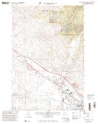
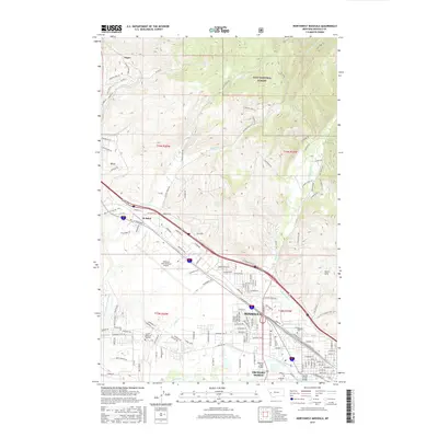
 1964 Northwest Missoula1967 Print · USGSMissoula during the mid-sixties shows a growing city meeting the forest edge and a busy aviation corridor. Researchers can trace historic burial sites at the Indian Burial Ground and St Mary Cem, or locate landmarks like the US Forest Service Aerial Fire Depot.3 unique versions available
 - 1981 Map of Missoula West
 1981 Missoula West1981 Print · USGSThe Bitterroot Valley and the rugged Bitterroot Range are captured here in the early 1980s, documenting the expansion of Missoula and its outlying timber and river towns. Researchers can trace the Burlington Northern rail corridors or locate remote landmarks like Lolo Hot Springs and Lolo Pass.2 unique versions available
 - 1999 Map of Northwest Missoula, 2003 Print
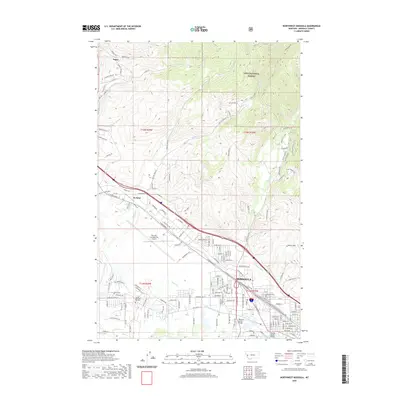
 1999 Northwest Missoula2003 Print · USGSMissoula and its northwestern outskirts are captured in the 1990s as the city's industrial and residential zones pushed toward the Lolo National Forest. Researchers can trace old irrigation routes like Flynn Ditch or locate family histories at Missoula Cem and St Mary Cem.
 - 2011 Map of Northwest Missoula, 2011 Print
 2011 Northwest Missoula2011 Print · USGSCovers Nagos, including Missoula, De Smet, and other nearby areas
 - 2014 Map of Northwest Missoula, 2014 Print
 2014 Northwest Missoula2014 Print · USGSCovers Nagos, including Missoula, De Smet, and other nearby areas
 - 2017 Map of Northwest Missoula, 2017 Print
 2017 Northwest Missoula2017 Print · USGSCovers Nagos, including Missoula, De Smet, and other nearby areas
 - 2020 Map of Northwest Missoula, 2020 Print
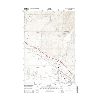
 2020 Northwest Missoula2020 Print · USGSCovers Nagos, including Missoula, De Smet, and other nearby areas
 - 2024 Map of Northwest Missoula, 2024 Print
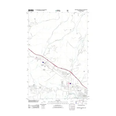
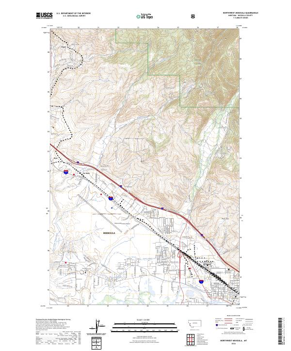 2024 Northwest Missoula2024 Print · USGSThe Missoula valley and its northern timberlands are captured in this contemporary survey, showing the city's modern infrastructure and historic irrigation networks. Researchers can trace burial sites like Missoula Cem or follow the Nelson Ditch.
End of results
Showing maps 1-13 of 13
Top cities near Nagos
Frequently asked questions
- What are the different types of historical maps available for Nagos?
- What is the oldest map of Nagos?
- Where can I purchase historical maps of Nagos for my home or office?
- Where can I download high-res historical maps of Nagos?
- Are there historical topographic maps available for Nagos?
- Is there historical aerial imagery available for Nagos?
- Where are historical maps of Nagos sourced from?