Old Maps of Soudan, Montana for Academic Research
Study the evolution of Soudan with 10 high-resolution historic maps. Whether you're teaching, researching, or modeling changes in land use, these maps provide essential visual documentation of urban, environmental, and geographic change.
- Analyze long-term change: Track patterns in development, transportation, and natural features.
- Ideal for environmental or urban studies: Support academic projects with primary historical map data.
- Use in the classroom or lab: Educators and researchers rely on these maps to bring historical context to life.
These maps are a powerful tool for teaching, research, and visualizing how Soudan has changed over the decades.
Soudan, MT maps
(10)- 1956 Map of Wallace, 1966 Print
 1956 Wallace1966 Print · USGSWestern Montana and the Idaho panhandle meet in this mid-century survey of the Bitterroot and Cabinet Mountains. Genealogists and historians can trace the rail-and-river economy through the Northern Pacific line and settlements like Thompson Falls or St. Ignatius.3 unique versions available
 - 1959 Map of Alberton, 1961 Print
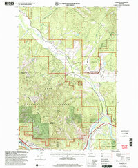
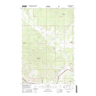
 1959 Alberton1961 Print · USGSAs the mid-century timber and rail economies peaked, this area of western Montana balanced remote wilderness with vital transport lines. Genealogists and historians can trace the Northern Pacific rail line and local landmarks like the Favorite Mine and the Ninemile Community Hall.2 unique versions available
 - 1960 Map of Wallace
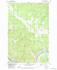
 1960 Wallace1960 Print · USGSNorthwestern Montana and the Idaho panhandle are captured in the late fifties, showing the vast Flathead Indian Reservation and the mining districts of the Bitterroot Range. Researchers can trace the rail lines of the Northern Pacific or locate early sites like the Morning Mine and the National Bison Range.
 - 1984 Map of Alberton
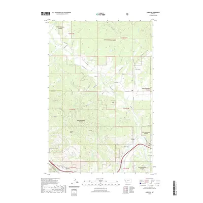
 1984 Alberton1984 Print · USGSSettled along the Clark Fork river in the 1980s, the Alberton area shows a landscape of timber management and rail infrastructure. Researchers can trace the Old Railroad Grade, locate the Ninemile Ranger Sta, or find the secluded Kreis Lake.
 - 1999 Map of Alberton, 2003 Print
 1999 Alberton2003 Print · USGSThe Mineral County mountainside meets the Clark Fork valley at the close of the twentieth century. Researchers can trace the legacy of forest management and early transport through the Ninemile Remount Depot, the CCC Campsite, and the winding Discovery Trail.
 - 2011 Map of Alberton, 2011 Print
 2011 Alberton2011 Print · USGSCovers Soudan, including Alberton, Ninemile, and other nearby areas
 - 2014 Map of Alberton, 2014 Print
 2014 Alberton2014 Print · USGSCovers Soudan, including Alberton, Ninemile, and other nearby areas
 - 2017 Map of Alberton, 2017 Print
 2017 Alberton2017 Print · USGSCovers Soudan, including Alberton, Ninemile, and other nearby areas
 - 2020 Map of Alberton, 2020 Print
 2020 Alberton2020 Print · USGSCovers Soudan, including Alberton, Ninemile, and other nearby areas
 - 2024 Map of Alberton, 2024 Print
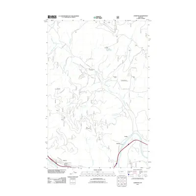
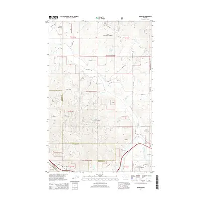
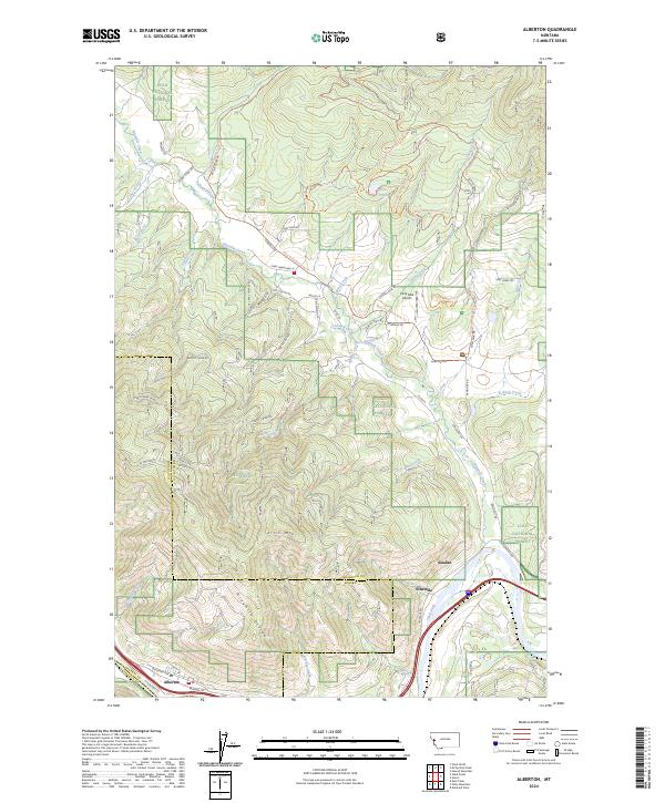 2024 Alberton2024 Print · USGSThe Alberton area of western Montana is documented here at the intersection of the Clark Fork river and the BNSF Railway. Researchers can trace old mountain roads and trails like Chisholm Trail Rd and Old Coyote Rd through the Lolo National Forest.
End of results
Showing maps 1-10 of 10
Top cities near Soudan
Frequently asked questions
- What are the different types of historical maps available for Soudan?
- What is the oldest map of Soudan?
- Where can I purchase historical maps of Soudan for my home or office?
- Where can I download high-res historical maps of Soudan?
- Are there historical topographic maps available for Soudan?
- Is there historical aerial imagery available for Soudan?
- Where are historical maps of Soudan sourced from?