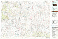
Old Maps of Delphia, Montana for Academic Research
Study the evolution of Delphia with 9 high-resolution historic maps. Whether you're teaching, researching, or modeling changes in land use, these maps provide essential visual documentation of urban, environmental, and geographic change.
- Analyze long-term change: Track patterns in development, transportation, and natural features.
- Ideal for environmental or urban studies: Support academic projects with primary historical map data.
- Use in the classroom or lab: Educators and researchers rely on these maps to bring historical context to life.
These maps are a powerful tool for teaching, research, and visualizing how Delphia has changed over the decades.
Delphia, MT maps
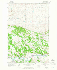
(9)- 1954 Map of Roundup, 1966 Print
 1954 Roundup1966 Print · USGSCentral Montana in the mid-1960s showcases a landscape of high-plains agriculture and vital rail connections. Researchers can trace historic routes through Harlowton and Roundup while locating landmarks like Judith Cemetery and Deadmans Basin Reservoir.2 unique versions available
 - 1958 Map of Roundup
 1958 Roundup1958 Print · USGSCentral Montana ranching and rail infrastructure are captured here in the late fifties as the Musselshell River valley thrived. Researchers can trace the Great Northern line through Harlowton or locate the Judith Cemetery and Gage Community.2 unique versions available
 - 1963 Map of Delphia, 1966 Print
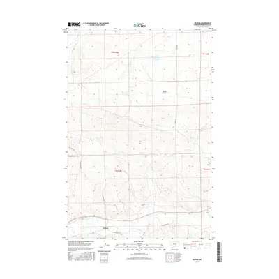
 1963 Delphia1966 Print · USGSThe Musselshell River valley in the early sixties was a corridor of rail and ranching. Trace the path of the Chicago Milwaukee St Paul and Pacific through Delphia and Melstone or locate water-works like the Goffena Ditch.
 - 1993 Map of Musselshell
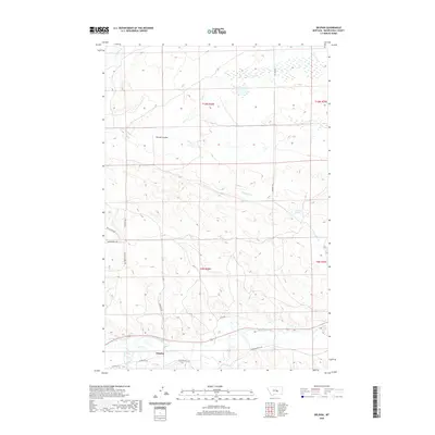
 1993 Musselshell1993 Print · USGSCentral Montana's high plains and river valleys are shown in the early nineties, centered on the ranching and resource hubs of Winnett and Musselshell. Researchers can trace the Musselshell Ditch, locate the Melstone Oil Field, and explore the diverse wetlands of Lake Mason.
 - 2011 Map of Delphia, 2011 Print
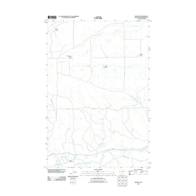 2011 Delphia2011 Print · USGSCovers Delphia, including Musselshell County, United States, and other nearby areas
 - 2014 Map of Delphia, 2014 Print
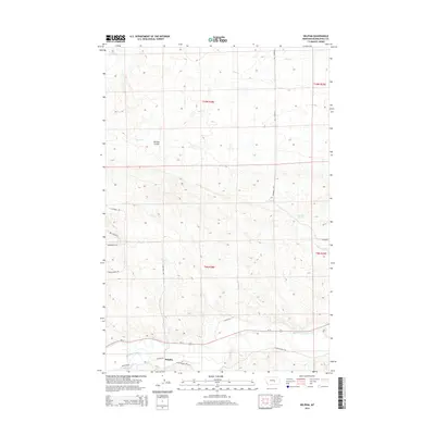 2014 Delphia2014 Print · USGSCovers Delphia, including Musselshell County, United States, and other nearby areas
 - 2017 Map of Delphia, 2017 Print
 2017 Delphia2017 Print · USGSCovers Delphia, including Musselshell County, United States, and other nearby areas
 - 2020 Map of Delphia, 2020 Print
 2020 Delphia2020 Print · USGSCovers Delphia, including Musselshell County, United States, and other nearby areas
 - 2024 Map of Delphia, 2024 Print
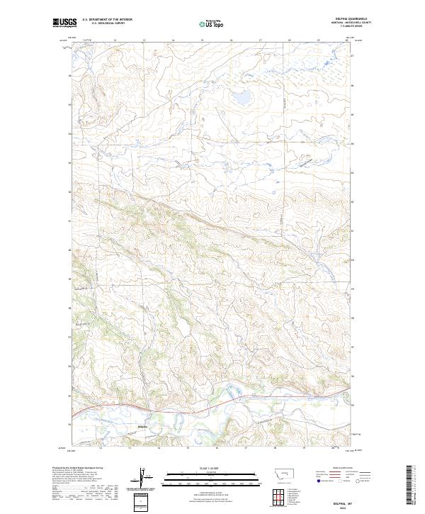 2024 Delphia2024 Print · USGSThe river valley at Delphia is shown in this contemporary study of the Montana plains. Researchers can trace the rural infrastructure along the Musselshell River, including old routes like Sheepherder Trl and Goffena Rd.
End of results
Showing maps 1-9 of 9
Frequently asked questions
- What are the different types of historical maps available for Delphia?
- What is the oldest map of Delphia?
- Where can I purchase historical maps of Delphia for my home or office?
- Where can I download high-res historical maps of Delphia?
- Are there historical topographic maps available for Delphia?
- Is there historical aerial imagery available for Delphia?
- Where are historical maps of Delphia sourced from?