Old Maps of Delphia, Montana for Genealogy
Trace your family roots with 9 historic maps of Delphia. These high-res maps reveal old neighborhoods, homesites, landmarks, and streets — helping you uncover where your ancestors lived and how the area evolved over time.
- Explore historic neighborhoods: Identify where your relatives may have lived in the 1800s or 1900s.
- Compare maps over time: Trace the changes in streets, buildings, and landmarks for multi-generational research.
- Perfect for genealogy & ancestry research: Used by family historians and researchers to map out lineage and migration.
These maps are an incredible resource for exploring your personal connection to Delphia's past.
Delphia, MT maps
(9)- 1954 Map of Roundup, 1966 Print
 1954 Roundup1966 Print · USGSCentral Montana in the mid-1960s showcases a landscape of high-plains agriculture and vital rail connections. Researchers can trace historic routes through Harlowton and Roundup while locating landmarks like Judith Cemetery and Deadmans Basin Reservoir.2 unique versions available
 - 1958 Map of Roundup
 1958 Roundup1958 Print · USGSCentral Montana ranching and rail infrastructure are captured here in the late fifties as the Musselshell River valley thrived. Researchers can trace the Great Northern line through Harlowton or locate the Judith Cemetery and Gage Community.2 unique versions available
 - 1963 Map of Delphia, 1966 Print
 1963 Delphia1966 Print · USGSThe Musselshell River valley in the early sixties was a corridor of rail and ranching. Trace the path of the Chicago Milwaukee St Paul and Pacific through Delphia and Melstone or locate water-works like the Goffena Ditch.
 - 1993 Map of Musselshell
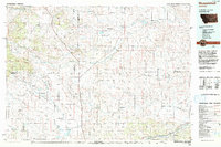 1993 Musselshell1993 Print · USGSCentral Montana's high plains and river valleys are shown in the early nineties, centered on the ranching and resource hubs of Winnett and Musselshell. Researchers can trace the Musselshell Ditch, locate the Melstone Oil Field, and explore the diverse wetlands of Lake Mason.
 - 2011 Map of Delphia, 2011 Print
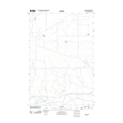 2011 Delphia2011 Print · USGSMusselshell County ranchlands near the river are captured in this contemporary survey of a quiet Montana landscape. Researchers can trace the water infrastructure of the region through several named reservoirs like the WB Goffena Number 1 Dam and Montana Number 32 Dam near Delphia.
 - 2014 Map of Delphia, 2014 Print
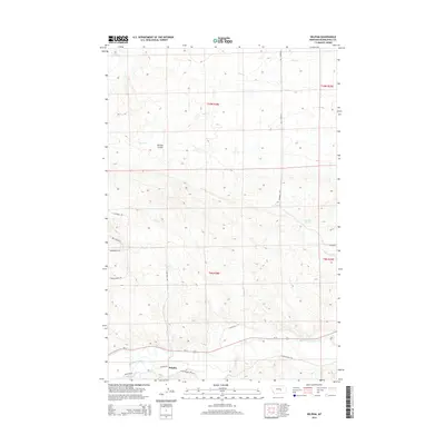 2014 Delphia2014 Print · USGSThe Musselshell River valley and the small settlement of Delphia are shown in this Montana landscape during the early twenty-first century. Genealogists and historians can trace local ranching routes like Shepherder Trl or locate water sources at Fourmile Springs.
 - 2017 Map of Delphia, 2017 Print
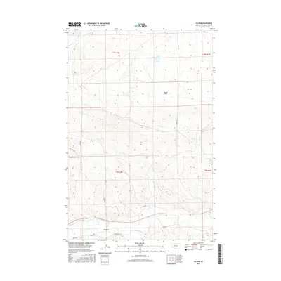 2017 Delphia2017 Print · USGSThe Musselshell River valley comes into focus during the early twenty-first century as it flows past the rural settlement of Delphia. Researchers can trace the path of historic routes like Sheepherder Trl or locate landmarks such as McLean Coulee and Fourmile Springs.
 - 2020 Map of Delphia, 2020 Print
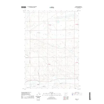 2020 Delphia2020 Print · USGSMusselshell County ranching country is documented here in the early twenty-first century, centered on the Musselshell River. Researchers can trace old transportation routes like Sheepherder Trl and Box Canyon Rd near the settlement of Delphia.
 - 2024 Map of Delphia, 2024 Print
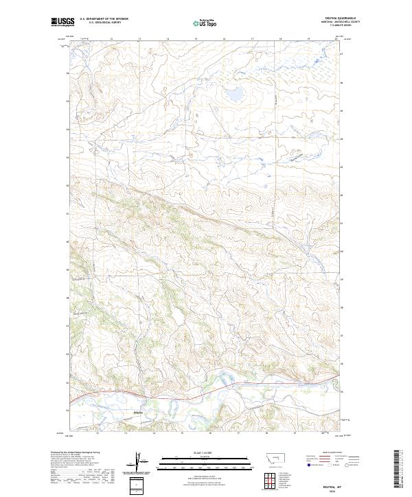 2024 Delphia2024 Print · USGSThe river valley at Delphia is shown in this contemporary study of the Montana plains. Researchers can trace the rural infrastructure along the Musselshell River, including old routes like Sheepherder Trl and Goffena Rd.
End of results
Showing maps 1-9 of 9
Frequently asked questions
- What are the different types of historical maps available for Delphia?
- What is the oldest map of Delphia?
- Where can I purchase historical maps of Delphia for my home or office?
- Where can I download high-res historical maps of Delphia?
- Are there historical topographic maps available for Delphia?
- Is there historical aerial imagery available for Delphia?
- Where are historical maps of Delphia sourced from?