Old Maps of Gage, Montana for Genealogy
Trace your family roots with 9 historic maps of Gage. These high-res maps reveal old neighborhoods, homesites, landmarks, and streets — helping you uncover where your ancestors lived and how the area evolved over time.
- Explore historic neighborhoods: Identify where your relatives may have lived in the 1800s or 1900s.
- Compare maps over time: Trace the changes in streets, buildings, and landmarks for multi-generational research.
- Perfect for genealogy & ancestry research: Used by family historians and researchers to map out lineage and migration.
These maps are an incredible resource for exploring your personal connection to Gage's past.
Gage, MT maps
(9)- 1954 Map of Roundup, 1966 Print
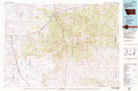
 1954 Roundup1966 Print · USGSCentral Montana in the mid-1960s showcases a landscape of high-plains agriculture and vital rail connections. Researchers can trace historic routes through Harlowton and Roundup while locating landmarks like Judith Cemetery and Deadmans Basin Reservoir.2 unique versions available
 - 1958 Map of Roundup
 1958 Roundup1958 Print · USGSCentral Montana ranching and rail infrastructure are captured here in the late fifties as the Musselshell River valley thrived. Researchers can trace the Great Northern line through Harlowton or locate the Judith Cemetery and Gage Community.2 unique versions available
 - 1979 Map of Roundup
 1979 Roundup1979 Print · USGSCentral Montana at the close of the 1970s reveals a landscape defined by coal mining and major rail lines. Researchers can trace the industrial legacy of Roundup and Klein or locate landmarks like the Western Mine and Steamboat Butte.
 - 1979 Map of Gage, 1987 Print
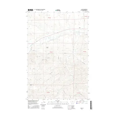
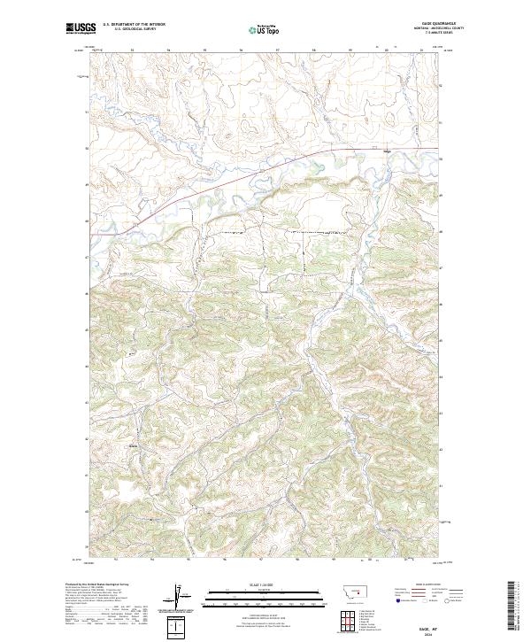
 1979 Gage1987 Print · USGSMusselshell County ranching and mining were in full swing during the late seventies. Researchers can trace the industrial footprint of the Jeffries Mine and Western Mine along the Musselshell River and the old Milwaukee Road rail line.
 - 2011 Map of Gage, 2011 Print
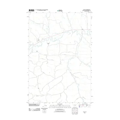 2011 Gage2011 Print · USGSCovers Gage, including Musselshell County, United States, and other nearby areas
 - 2014 Map of Gage, 2014 Print
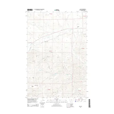 2014 Gage2014 Print · USGSCovers Gage, including Musselshell County, United States, and other nearby areas
 - 2017 Map of Gage, 2017 Print
 2017 Gage2017 Print · USGSCovers Gage, including Musselshell County, United States, and other nearby areas
 - 2020 Map of Gage, 2020 Print
 2020 Gage2020 Print · USGSCovers Gage, including Musselshell County, United States, and other nearby areas
 - 2024 Map of Gage, 2024 Print
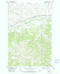
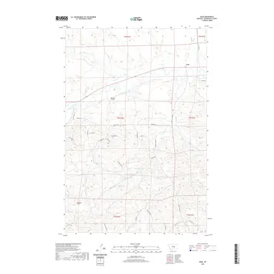
 2024 Gage2024 Print · USGSThe Musselshell River valley in the early twenty-first century reveals a landscape of isolated ranching hubs and rugged coulees. Local historians can trace the paths of Gage and Klein or follow the winding courses of Barrigan Coulee and West Parrot Creek.
End of results
Showing maps 1-9 of 9
Top cities near Gage
Frequently asked questions
- What are the different types of historical maps available for Gage?
- What is the oldest map of Gage?
- Where can I purchase historical maps of Gage for my home or office?
- Where can I download high-res historical maps of Gage?
- Are there historical topographic maps available for Gage?
- Is there historical aerial imagery available for Gage?
- Where are historical maps of Gage sourced from?