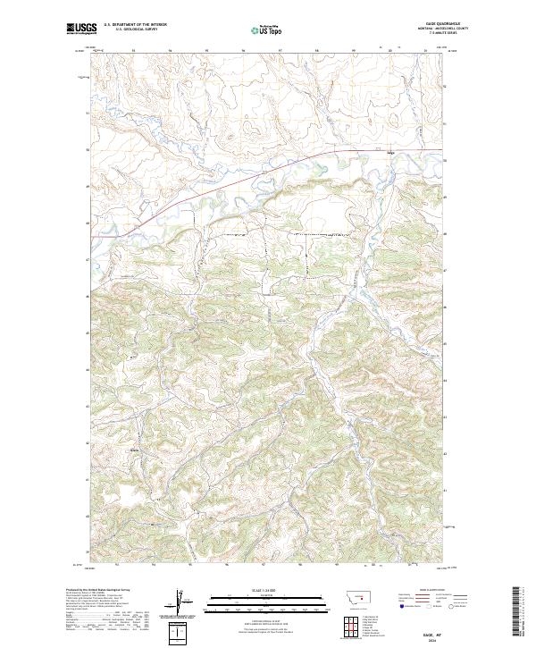
2024 Map of Gage
USGS Topo · Published 2024About this map
The Musselshell River carves a winding path across this landscape, defining the transition between the irrigated northern lowlands and the ridged southern uplands. Near the river’s northern bend, the settlement of Gage sits along the Musselshell River and N-F Ditch, illustrating the area’s historic reliance on water management for ranching and agriculture. To the south, the terrain becomes more complex as Barrigan Coulee and the drainage of Parrot Creek cut through the rising elevation. The small community of Klein is situated at the base of these southern hills, where a network of local routes like Bender RD and Burnt Ridge Rd provide access to the higher ground. This map captures a region shaped by its hydrology and the resulting pattern of rural homesteads and connecting trails across the Musselshell valley.
Find a feature on this map
33 named features on this map. Tap any name to fly to it.
Don’t see what you’re looking for? This feature index may not catch every label — zoom into the map to look around manually.
Map Details
Editions of this 2024 Gage Map
This is the sole edition of this map. No revisions or reprints were ever made.
Other maps of this area

1954 · Roundup
USGS Topo · 1:250,000

1958 · Roundup
USGS Topo · 1:250,000

1979 · Roundup
USGS Topo · 1:100,000

1979 · Gage NE
USGS Topo · 1:24,000

1979 · Harper Coulee
USGS Topo · 1:24,000

1979 · Gage
USGS Topo · 1:24,000

1979 · Roundup
USGS Topo · 1:24,000

1980 · Dunn Mountain North
USGS Topo · 1:24,000

1980 · Signal Mountain
USGS Topo · 1:24,000

1986 · Lake Mason SE
USGS Topo · 1:24,000