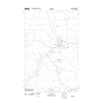
1979 Map of Roundup
USGS Topo · Published 1993About this map
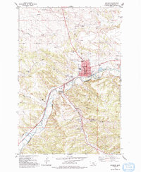
The Musselshell River defines the landscape of this central Montana region, winding past the county seat of Roundup and into the coal-rich terrain of the Bull Mountains. In the late 1970s, the industrial footprint of the Bull Mountain coal field remains prominent, with mining infrastructure like Republic Mine No 2 and the Keene Mine marking the hills south of the river. The small mining settlements of Klein, Gibbtown, and Farreltown are clustered along the drainage of Halfbreed Creek, illustrating the localized worker communities that once thrived near the shaft entrances. Within the town of Roundup, essential civic landmarks are clearly documented, including the Courthouse, Post Office, and Roundup Memorial Hospital. North of the river, the terrain shifts toward more open ranching and agricultural use, characterized by long drainages like Alkali Creek and Willow Creek, while early mining operations like the Square Deal Mine and Niles Mine are found further west.
Find a feature on this map
39 named features on this map. Tap any name to fly to it.
Don’t see what you’re looking for? This feature index may not catch every label — zoom into the map to look around manually.
Map Details
Editions of this 1979 Roundup Map
This is the sole edition of this map. No revisions or reprints were ever made.
Historical Maps of Roundup Through Time
9 maps found
1954 Roundup
Musselshell County, MT
1958 Roundup
Musselshell County, MT
1979 Roundup
Musselshell County, MT
1979 Roundup
Musselshell County, MT
2011 Roundup
Musselshell County, MT

2014 Roundup
Musselshell County, MT
2017 Roundup
Musselshell County, MT
2020 Roundup
Musselshell County, MT
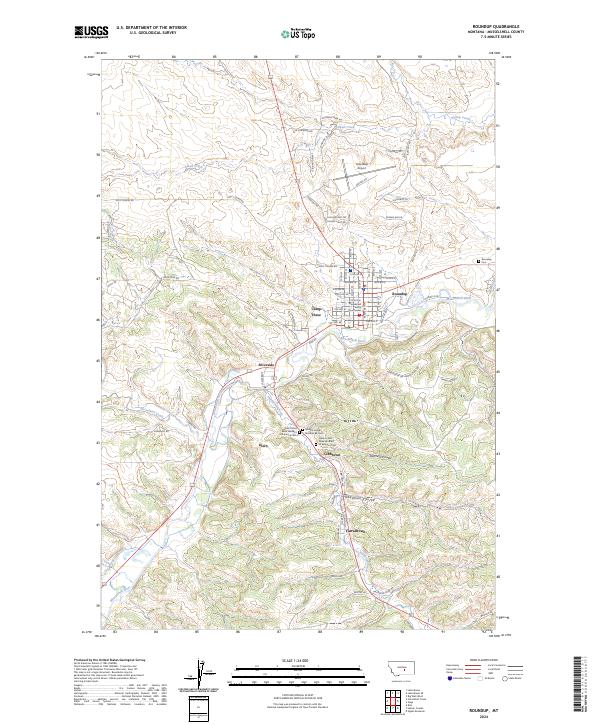
2024 Roundup
Musselshell County, MT