
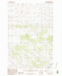
1986 Map of Big Wall West
USGS Topo · Published 1986About this map
The Big Wall escarpment dominates this section of the Musselshell region, where the high plains transition into a landscape shaped by petroleum extraction. This 1986 record documents the Oil Field operations that define the northeastern portion of the sheet, marked by an extensive network of drill holes and a critical pipeline system. The presence of a substation and numerous industrial markings highlights the mid-century energy development that transformed this part of Montana. Beyond the industrial footprint, the natural drainage of Willow Creek and scattered Spring sites provide a contrast to the geometric lines of the resource infrastructure, offering a clear view of how land use was partitioned between natural ranching terrain and intensive energy production.
Find a feature on this map
6 named features on this map. Tap any name to fly to it.
Don’t see what you’re looking for? This feature index may not catch every label — zoom into the map to look around manually.
Map Details
Editions of this 1986 Big Wall West Map
This is the sole edition of this map. No revisions or reprints were ever made.
Other maps of this area

1954 · Roundup
USGS Topo · 1:250,000

1958 · Roundup
USGS Topo · 1:250,000

1979 · Roundup
USGS Topo · 1:100,000

1979 · Gage NE
USGS Topo · 1:24,000

1979 · Gage
USGS Topo · 1:24,000

1979 · Roundup
USGS Topo · 1:24,000

1986 · Lake Mason SE
USGS Topo · 1:24,000

1986 · Lake Mason NE
USGS Topo · 1:24,000

1986 · Big Wall NW
USGS Topo · 1:24,000
1986 · Big Wall East
USGS Topo · 1:24,000