Old Maps of Lustre, Oswego District for Hiking & Exploration
Hike through history with 10 historic maps of Lustre. Explore old trails, ghost towns, and forgotten backroads — perfect for outdoor adventurers and local explorers.
- Rediscover forgotten places: Map out old mining camps, roads, and footpaths that no longer exist on modern maps.
- Layer with modern tools: Combine with LiDAR or satellite views to plan hikes through historical terrain.
- Made for exploration: Popular among hikers, overlanders, and local history lovers.
Use these maps to find adventure and explore the hidden past of Lustre.
Lustre, Oswego District maps
(10)- 1910 Map of Todd Lakes, 1975 Print
 1910 Todd Lakes1975 Print · USGSNortheastern Montana before the Great War is captured here as a sprawling expanse of the Fort Peck Indian Reservation. Trace the intricate drainage of Wolf Creek and locate the natural basins of Todd Lakes in this early ranching-era landscape.2 unique versions available
 - 1915 Map of Todd Lakes
 1915 Todd Lakes1915 Print · USGSNortheastern Montana lands within the Fort Peck Indian Reservation appear here during the early twentieth century. Researchers can trace the original Valley Sheridan county line and the winding courses of Wolf Creek and Little Porcupine Creek.
 - 1954 Map of Wolf Point, 1967 Print
 1954 Wolf Point1967 Print · USGSNortheastern Montana and the North Dakota borderlands are shown here in the mid-fifties, dominated by the Missouri River and the Fort Peck Indian Reservation. Genealogists and historians can trace the Great Northern rail line through river towns like Poplar and Culbertson or locate northern border outposts like the U S Custom Office at Raymond.2 unique versions available
 - 1958 Map of Wolf Point
 1958 Wolf Point1958 Print · USGSNortheastern Montana is shown during the mid-fifties, featuring the extensive Fort Peck Indian Reservation and the Missouri River valley. Researchers can trace the Great Northern railroad through Wolf Point or locate sites like Slab Crossing and the Coal Mine near Medicine Lake.
 - 1983 Map of Lustre
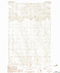 1983 Lustre1983 Print · USGSThe northeastern Montana plains come to life in the early 1980s, showing a landscape defined by seasonal drainages and section lines. Researchers can trace the paths of West Fork Wolf Creek, Middle Fork Wolf Creek, and Tree Coulee.
 - 2011 Map of Lustre, 2011 Print
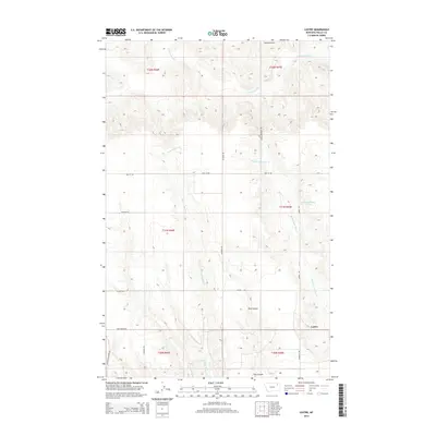
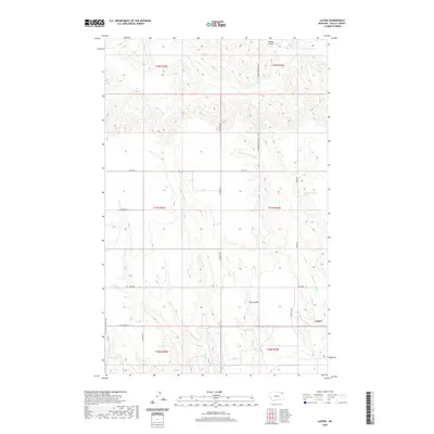
 2011 Lustre2011 Print · USGSCovers Lustre, including Frazer District, Oswego District, and other nearby areas
 - 2014 Map of Lustre, 2014 Print
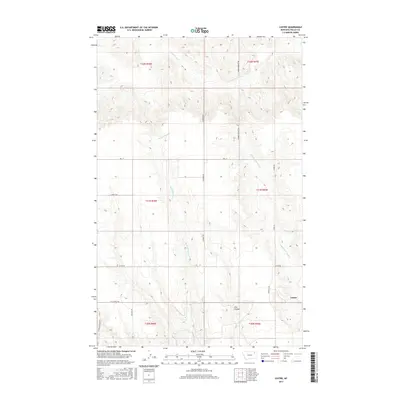
 2014 Lustre2014 Print · USGSCovers Lustre, including Frazer District, Oswego District, and other nearby areas
 - 2017 Map of Lustre, 2017 Print
 2017 Lustre2017 Print · USGSCovers Lustre, including Frazer District, Oswego District, and other nearby areas
 - 2020 Map of Lustre, 2020 Print
 2020 Lustre2020 Print · USGSCovers Lustre, including Frazer District, Oswego District, and other nearby areas
 - 2024 Map of Lustre, 2024 Print
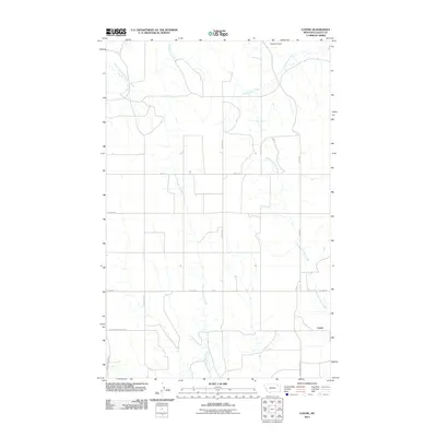
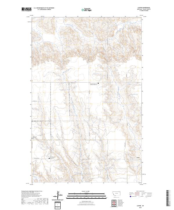 2024 Lustre2024 Print · USGSLustre, Montana, is depicted in the mid-2020s as a community anchored by its unique religious history and prairie geography. Genealogists can trace family connections at the Bethel Lustre Mennonite Cem or follow the waters of West Fork Wolf Creek and Tree Coulee.
End of results
Showing maps 1-10 of 10
Top cities near Lustre
Frequently asked questions
- What are the different types of historical maps available for Lustre?
- What is the oldest map of Lustre?
- Where can I purchase historical maps of Lustre for my home or office?
- Where can I download high-res historical maps of Lustre?
- Are there historical topographic maps available for Lustre?
- Is there historical aerial imagery available for Lustre?
- Where are historical maps of Lustre sourced from?