Old Maps of Hoffman, Montana for Academic Research
Study the evolution of Hoffman with 16 high-resolution historic maps. Whether you're teaching, researching, or modeling changes in land use, these maps provide essential visual documentation of urban, environmental, and geographic change.
- Analyze long-term change: Track patterns in development, transportation, and natural features.
- Ideal for environmental or urban studies: Support academic projects with primary historical map data.
- Use in the classroom or lab: Educators and researchers rely on these maps to bring historical context to life.
These maps are a powerful tool for teaching, research, and visualizing how Hoffman has changed over the decades.
Hoffman, MT maps
(16)- 1891 Map of Livingston
 1891 Livingston1891 Print · USGSUpper Yellowstone River country is documented here in the late nineteenth century as the railroad transformed the valley. Genealogists and historians can trace rail-stop towns like Cokedale, the military grounds at Ft. Ellis, and the Old Crow Agency.
 - 1893 Map of Livingston
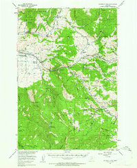
 1893 Livingston1893 Print · USGSThe Montana mountain country and the gateway to the national park are captured here in the late nineteenth century. Trace the industrial rail corridor through Livingston to mining sites like Coke and the historic Old Crow Agency.5 unique versions available
 - 1947 Map of Bozeman, 1948 Print
 1947 Bozeman1948 Print · USGSBozeman and the surrounding mountain ranges are captured here just after the war, showing the vital rail and river networks of southwestern Montana. Genealogists and historians can trace routes to early settlements like Virginia City, Gallatin Gateway, and the mountain community of Jardine.
 - 1948 Map of Bozeman, 1951 Print
 1948 Bozeman1951 Print · USGSSouthern Montana in the late 1940s is shown as a high-country crossroads of rail lines and river headwaters. Genealogists and historians can trace old town sites like Virginia City and McLeod alongside the Northern Pacific and Milwaukee Road railroads.
 - 1951 Map of Bozeman Pass, 1952 Print
 1951 Bozeman Pass1952 Print · USGSGallatin and Park counties are captured during the early 1950s, showing the high-country divide between Bozeman and Livingston. Genealogists and historians can trace family-named homesteads and old industrial sites like the Anaconda Copper Mines, Malmborg School, and the Shaodan Sawmill.5 unique versions available
 - 1955 Map of Bozeman
 1955 Bozeman1955 Print · USGSBozeman and the upper Missouri River headwaters are captured here during the mid-fifties, showing the vital rail and river networks of southwestern Montana. Local historians can trace the routes of the Northern Pacific railroad through Livingston and locate smaller settlements like Trident, Anceney, and Jardine.
 - 1958 Map of Bozeman, 1968 Print
 1958 Bozeman1968 Print · USGSThe Gallatin and Madison River valleys are captured here in the late fifties, showing the region's transition into a modern mountain hub. Genealogists and historians can trace the paths of the Northern Pacific RR, locate the Anceney School, and see the early layout of Bozeman.3 unique versions available
 - 1965 Map of Bozeman
 1965 Bozeman1965 Print · USGSSouthwestern Montana's river valleys and mountain ranges appear in detail during the early 1960s. Genealogists and historians can trace rail-era settlements like Trident, locate the Anceney School, and see the early footprint of Montana State College.
 - 1987 Map of Bald Knob
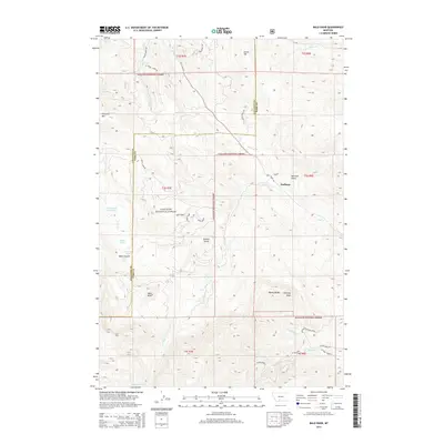
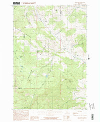 1987 Bald Knob1987 Print · USGSThe Gallatin Range in the late eighties reveals a landscape of industrial history and forest management on the Gallatin and Park county line. Researchers can trace the legacy of mountain extraction at the Kountz Mine and the Old Russell Mill or find the Trail Creek Guard Station.2 unique versions available
 - 1992 Map of Livingston
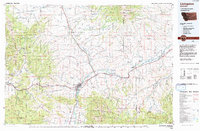 1992 Livingston1992 Print · USGSPark County in the early nineties remains a landscape of river valleys and high wilderness, centered on the historic rail hub of Livingston. Researchers can trace the Burlington Northern Railroad through mountain passes and locate rural markers like the Coal Mine and Clyde Park.
 - 2000 Map of Bald Knob, 2005 Print
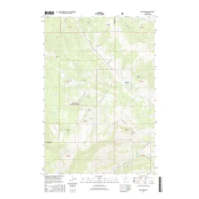
 2000 Bald Knob2005 Print · USGSGallatin and Park counties meet in this high mountain forest around the turn of the millennium. Researchers can trace the industrial footprint of the Harrison Mine, locate the Hoffman (Site), and find family-named landmarks like Maxey Ridge.
 - 2011 Map of Bald Knob, 2011 Print
 2011 Bald Knob2011 Print · USGSCovers Hoffman, including Gallatin County, Park County, and other nearby areas
 - 2014 Map of Bald Knob, 2014 Print
 2014 Bald Knob2014 Print · USGSCovers Hoffman, including Gallatin County, Park County, and other nearby areas
 - 2017 Map of Bald Knob, 2017 Print
 2017 Bald Knob2017 Print · USGSCovers Hoffman, including Gallatin County, Park County, and other nearby areas
 - 2020 Map of Bald Knob, 2020 Print
 2020 Bald Knob2020 Print · USGSCovers Hoffman, including Gallatin County, Park County, and other nearby areas
 - 2024 Map of Bald Knob, 2024 Print
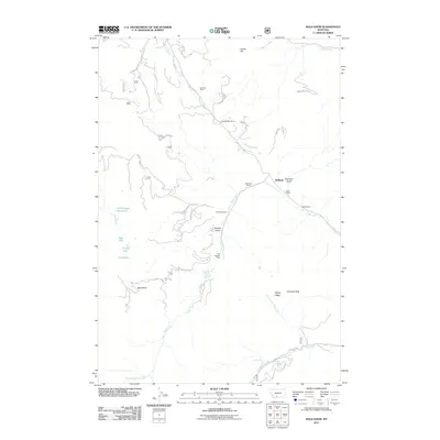
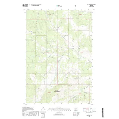
 2024 Bald Knob2024 Print · USGSThe high Montana ridges of Gallatin and Park counties are surveyed here in recent detail. Researchers can trace the rugged topography around Bald Knob, the settlement at Hoffman, and remote alpine waters like Crystal Lake and Old Cooper Reservoir.
End of results
Showing maps 1-16 of 16
Top cities near Hoffman
Frequently asked questions
- What are the different types of historical maps available for Hoffman?
- What is the oldest map of Hoffman?
- Where can I purchase historical maps of Hoffman for my home or office?
- Where can I download high-res historical maps of Hoffman?
- Are there historical topographic maps available for Hoffman?
- Is there historical aerial imagery available for Hoffman?
- Where are historical maps of Hoffman sourced from?