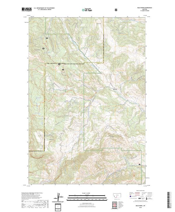
2024 Map of Bald Knob
USGS Topo · Published 2024About this map
Gallatin National Forest encompasses the high country shown in this recent topographic survey of the border between Gallatin and Park counties. The landscape is defined by the sharp elevations of Bald Knob and Chestnut Mtn, which overlook a network of alpine water bodies including Crystal Lake, Pine Lake, and Bear Lakes. The settlement of Hoffman sits along Trail Creek Rd, representing one of the few concentrated human footprints in a territory largely dedicated to wilderness and forestry management.
Find a feature on this map
56 named features on this map. Tap any name to fly to it.
Don’t see what you’re looking for? This feature index may not catch every label — zoom into the map to look around manually.
Map Details
Editions of this 2024 Bald Knob Map
This is the sole edition of this map. No revisions or reprints were ever made.
Other maps of this area

1891 · Livingston
USGS Topo · 1:250,000

1893 · Livingston
USGS Topo · 1:250,000

1947 · Bozeman
USGS Topo · 1:250,000

1948 · Bozeman
USGS Topo · 1:250,000

1951 · Bozeman Pass
USGS Topo · 1:62,500

1951 · Hoppers
USGS Topo · 1:24,000

1951 · Chimney Rock
USGS Topo · 1:24,000

1955 · Bozeman
USGS Topo · 1:250,000

1955 · Emigrant
USGS Topo · 1:62,500

1955 · Fridley Peak
USGS Topo · 1:62,500