
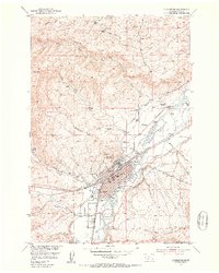
1951 Map of Hoppers
USGS Topo · Published 1953About this map
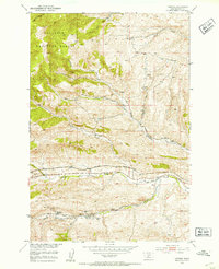
Industrial ruins and high mountain terrain define this 1951 topographic survey of the area around Hoppers and the former coal mining center of Cokedale. Located along the Northern Pacific railroad, the map documents the extensive remains of a once-active mining district at the edge of the Gallatin National Forest. The landscape is marked by the legacy of resource extraction, specifically at the Cokedale Mines No 1 and Cokedale Mines No 2.
Find a feature on this map
25 named features on this map. Tap any name to fly to it.
Don’t see what you’re looking for? This feature index may not catch every label — zoom into the map to look around manually.
Map Details
Editions of this 1951 Hoppers Map
5 editions found
Other maps of this area

1891 · Livingston
USGS Topo · 1:250,000

1893 · Livingston
USGS Topo · 1:250,000

1947 · Bozeman
USGS Topo · 1:250,000

1948 · Bozeman
USGS Topo · 1:250,000

1951 · Bozeman Pass
USGS Topo · 1:62,500

1951 · Gobblers Knob
USGS Topo · 1:24,000

1951 · Chadborn
USGS Topo · 1:24,000

1951 · Brisbin
USGS Topo · 1:24,000

1951 · Chimney Rock
USGS Topo · 1:24,000
1951 · Livingston
USGS Topo · 1:24,000