
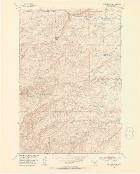
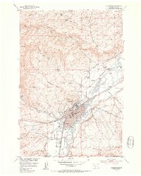
1951 Map of Gobblers Knob
USGS Topo · Published 1953About this map
The Gallatin National Forest covers the western slopes of this 1951 survey, where the Forest Boundary marks the transition from protected woodlands to the high ranching country of the Missouri River Basin. This landscape is defined by its drainages, where family livestock operations like Ward Ranch, Hansen Ranch, and Gibson Ranch follow the reliable water of Brackett Creek and Bangtail Creek. The prominent peak of Gobblers Knob overlooks a terrain that supported both pastoral and industrial efforts at mid-century, including the seasonally occupied Terry Sheep Camp. Evidence of earlier resource extraction is visible in several mines (inactive) scattered across the hillsides, while a complex network of ditches and a flume indicates the vital importance of water management for sustaining the Willow Creek Ranch and other valley holdings.
Find a feature on this map
24 named features on this map. Tap any name to fly to it.
Don’t see what you’re looking for? This feature index may not catch every label — zoom into the map to look around manually.
Map Details
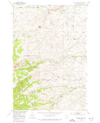
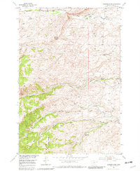
Editions of this 1951 Gobblers Knob Map
4 editions found
Other maps of this area

1891 · Livingston
USGS Topo · 1:250,000

1893 · Livingston
USGS Topo · 1:250,000

1947 · Bozeman
USGS Topo · 1:250,000

1948 · Bozeman
USGS Topo · 1:250,000

1951 · Bozeman Pass
USGS Topo · 1:62,500

1951 · Clyde Park
USGS Topo · 1:24,000

1951 · Chadborn
USGS Topo · 1:24,000

1951 · Hoppers
USGS Topo · 1:24,000
1951 · Wilsall
USGS Topo · 1:24,000
1951 · Livingston
USGS Topo · 1:24,000