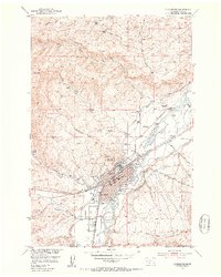
1951 Map of Livingston
USGS Topo · Published 1953About this map
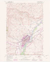
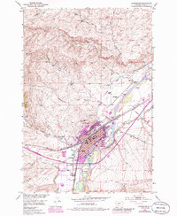
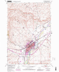
Livingston serves as a vital railroad hub in the early 1950s, defined by its position along the Northern Pacific line and the winding course of the Yellowstone River. The landscape reveals a transition from an organized urban center featuring a Civic Center and Sacajawea Park to a perimeter of expansive family-run operations like Perry Ranch and the Nelson Ranch. Notable signs of mid-century growth include the Livingston Airport and the Drive-in Theater south of town, while labels for the Mitchell Ranch (Aband) and Slaughterhouse (Aband) indicate shifting land uses in the surrounding hills. Water management is central to the valley's economy, evidenced by the Willow Ditch and several flumes that divert water from the river to support local agriculture. Education and civic life are anchored by the High School, Winans School, and the Court House.
Find a feature on this map
44 named features on this map. Tap any name to fly to it.
Don’t see what you’re looking for? This feature index may not catch every label — zoom into the map to look around manually.
Map Details
Editions of this 1951 Livingston Map
7 editions found
Other maps of this area

1891 · Livingston
USGS Topo · 1:250,000

1893 · Livingston
USGS Topo · 1:250,000

1947 · Bozeman
USGS Topo · 1:250,000

1948 · Bozeman
USGS Topo · 1:250,000

1951 · Gobblers Knob
USGS Topo · 1:24,000

1951 · Chadborn
USGS Topo · 1:24,000

1951 · Grannis
USGS Topo · 1:24,000

1951 · Brisbin
USGS Topo · 1:24,000

1951 · Hoppers
USGS Topo · 1:24,000

1951 · Livingston Peak
USGS Topo · 1:24,000