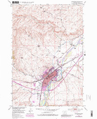
1951 Map of Livingston
USGS Topo · Published 1986About this map
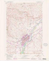
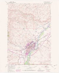
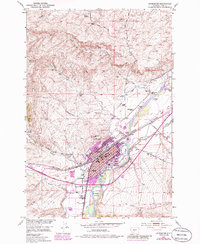
The Yellowstone River carves a central path through this survey, creating a landscape defined by braided channels and prominent landmasses like Sacajawea Island and Livingston Island. In the city of Livingston, the mid-century footprint is highly detailed, showing a cluster of civic and educational life including the Lincoln School, Winans School, and the Civic Center. The influence of the Burlington Northern railroad is clear, anchoring the local economy alongside riverfront features like Sacajawea Park and the Park Drive-in Theater.
Find a feature on this map
63 named features on this map. Tap any name to fly to it.
Don’t see what you’re looking for? This feature index may not catch every label — zoom into the map to look around manually.
Map Details
Editions of this 1951 Livingston Map
7 editions found
Other maps of this area

1891 · Livingston
USGS Topo · 1:250,000

1893 · Livingston
USGS Topo · 1:250,000

1947 · Bozeman
USGS Topo · 1:250,000

1948 · Bozeman
USGS Topo · 1:250,000

1951 · Gobblers Knob
USGS Topo · 1:24,000

1951 · Chadborn
USGS Topo · 1:24,000

1951 · Grannis
USGS Topo · 1:24,000

1951 · Brisbin
USGS Topo · 1:24,000

1951 · Hoppers
USGS Topo · 1:24,000

1951 · Livingston Peak
USGS Topo · 1:24,000