
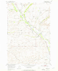
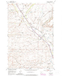
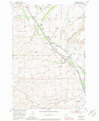
1951 Map of Chadborn
USGS Topo · Published 1953About this map
The Shields River valley defines the character of this mid-century landscape, serving as a corridor for both the Northern Pacific railroad and a dense network of family-operated livestock operations. Named ranching homesteads are the dominant cultural feature of the region, including the Keys Brothers Ranch, Schindler Ranch, and Francis Brothers Ranch, clustered primarily along the river and its fertile tributary creeks. The small settlement of Chadborn sits at the heart of this valley, while the Cowan School provides evidence of the rural community's social structure during this period.
Find a feature on this map
45 named features on this map. Tap any name to fly to it.
Don’t see what you’re looking for? This feature index may not catch every label — zoom into the map to look around manually.
Map Details
Editions of this 1951 Chadborn Map
4 editions found
Other maps of this area

1891 · Livingston
USGS Topo · 1:250,000

1893 · Livingston
USGS Topo · 1:250,000

1947 · Bozeman
USGS Topo · 1:250,000

1948 · Bozeman
USGS Topo · 1:250,000

1951 · Ibex Mountain
USGS Topo · 1:24,000

1951 · Gobblers Knob
USGS Topo · 1:24,000

1951 · Clyde Park
USGS Topo · 1:24,000

1951 · Grannis
USGS Topo · 1:24,000

1951 · Hoppers
USGS Topo · 1:24,000
1951 · Wilsall
USGS Topo · 1:24,000