
1951 Map of Ibex Mountain
USGS Topo · Published 1952About this map
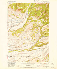
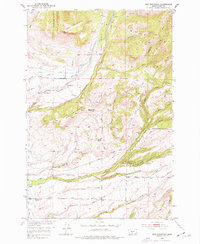
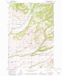
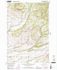
The eastern slopes of the Crazy Mountains define the character of this 1951 survey, where the rugged topography of the Gallatin National Forest meets the lower grazing lands of Park County. High peaks like Ibex Mountain and Elk Mountain overlook a network of working ranch lands, including the Cox Ranch, Holiday Ranch, and Harmon Ranch. These properties are connected by high-altitude infrastructure, such as the Flume and numerous segments of Ditch systems, which suggest the vital importance of water management for agricultural survival in this semi-arid upland.
Find a feature on this map
35 named features on this map. Tap any name to fly to it.
Don’t see what you’re looking for? This feature index may not catch every label — zoom into the map to look around manually.
Map Details
Editions of this 1951 Ibex Mountain Map
5 editions found
Other maps of this area

1886 · Little Belt Mts.
USGS Topo · 1:250,000

1891 · Livingston
USGS Topo · 1:250,000

1893 · Livingston
USGS Topo · 1:250,000

1894 · Little Belt Mts.
USGS Topo · 1:250,000

1897 · Little Belt Mts.
USGS Topo · 1:250,000

1898 · Little Belt Mts.
USGS Topo · 1:250,000

1902 · Little Belt Mts.
USGS Topo · 1:250,000

1947 · Bozeman
USGS Topo · 1:250,000

1948 · Bozeman
USGS Topo · 1:250,000

1948 · White Sulphur Springs
USGS Topo · 1:250,000