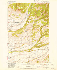
1951 Map of Ibex Mountain
USGS Topo · Published 1952About this map
The high ridges of Ibex Mountain and Elk Mountain dominate this corner of the Gallatin National Forest as it appeared in the early 1950s. The landscape is defined by a series of ranching operations established along the various drainages of Rock Creek and Cottonwood Creek, reflecting a mid-century period of Montana high-country agriculture. Notable landholdings include the Criswell Ranch, Footer Ranch, and Harmon Ranch, which utilized a network of ditches to manage water in this mountainous terrain.
Find a feature on this map
34 named features on this map. Tap any name to fly to it.
Don’t see what you’re looking for? This feature index may not catch every label — zoom into the map to look around manually.
Map Details
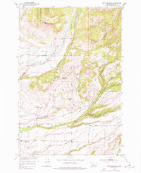
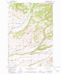
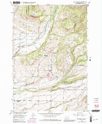
Editions of this 1951 Ibex Mountain Map
5 editions found

Other maps of this area

1886 · Little Belt Mts.
USGS Topo · 1:250,000

1891 · Livingston
USGS Topo · 1:250,000

1893 · Livingston
USGS Topo · 1:250,000

1894 · Little Belt Mts.
USGS Topo · 1:250,000

1897 · Little Belt Mts.
USGS Topo · 1:250,000

1898 · Little Belt Mts.
USGS Topo · 1:250,000

1902 · Little Belt Mts.
USGS Topo · 1:250,000

1947 · Bozeman
USGS Topo · 1:250,000

1948 · Bozeman
USGS Topo · 1:250,000

1948 · White Sulphur Springs
USGS Topo · 1:250,000