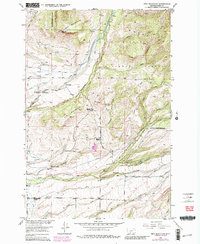
1951 Map of Ibex Mountain
USGS Topo · Published 1981About this map
Ibex Mountain and the surrounding peaks of the Gallatin Mountains define this high-country landscape, where ranching and forestry have long coexisted. The 1951 field data reveals a network of family-operated lands along the lower elevations, including the Cox Ranch, Footer Ranch, and Criswell Ranch. These agricultural hubs were supported by local institutions like the Cottonwood School and Pleasant View School, which served the dispersed population. Drainage patterns are vital to the area, with Cottonwood Creek and Rock Creek carving through the terrain near the National Forest Boundary. The presence of the Rock Creek Cemetery and several gravel pits indicates a settled community integrated with the natural resources of the Gallatin National Forest. The map also captures infrastructure like the Cottonwood Road and various irrigation ditches that supported these upland valley operations.
Find a feature on this map
43 named features on this map. Tap any name to fly to it.
Don’t see what you’re looking for? This feature index may not catch every label — zoom into the map to look around manually.
Map Details
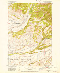
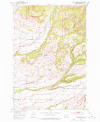
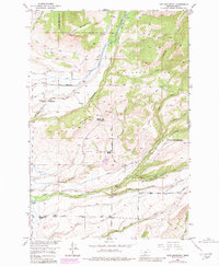
Editions of this 1951 Ibex Mountain Map
5 editions found

Other maps of this area

1886 · Little Belt Mts.
USGS Topo · 1:250,000

1891 · Livingston
USGS Topo · 1:250,000

1893 · Livingston
USGS Topo · 1:250,000

1894 · Little Belt Mts.
USGS Topo · 1:250,000

1897 · Little Belt Mts.
USGS Topo · 1:250,000

1898 · Little Belt Mts.
USGS Topo · 1:250,000

1902 · Little Belt Mts.
USGS Topo · 1:250,000

1947 · Bozeman
USGS Topo · 1:250,000

1948 · Bozeman
USGS Topo · 1:250,000

1948 · White Sulphur Springs
USGS Topo · 1:250,000