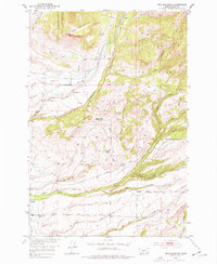
1951 Map of Ibex Mountain
USGS Topo · Published 1977About this map
Ibex Mountain and the surrounding high country of the Crazy Mountains define this landscape within the Gallatin National Forest. The 1951 field survey highlights a ranching economy concentrated along the drainage of Cottonwood Creek and its tributaries. Named homesteads and operations such as Footer Ranch, Cox Ranch, and Holiday Ranch are scattered across the lower elevations, connected by the unpaved Cottonwood Road.
Find a feature on this map
28 named features on this map. Tap any name to fly to it.
Don’t see what you’re looking for? This feature index may not catch every label — zoom into the map to look around manually.
Map Details
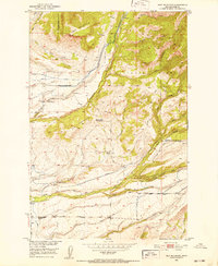
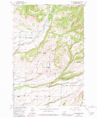
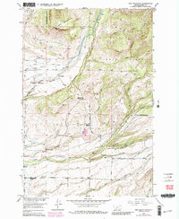
Editions of this 1951 Ibex Mountain Map
5 editions found

Other maps of this area

1886 · Little Belt Mts.
USGS Topo · 1:250,000

1891 · Livingston
USGS Topo · 1:250,000

1893 · Livingston
USGS Topo · 1:250,000

1894 · Little Belt Mts.
USGS Topo · 1:250,000

1897 · Little Belt Mts.
USGS Topo · 1:250,000

1898 · Little Belt Mts.
USGS Topo · 1:250,000

1902 · Little Belt Mts.
USGS Topo · 1:250,000

1947 · Bozeman
USGS Topo · 1:250,000

1948 · Bozeman
USGS Topo · 1:250,000

1948 · White Sulphur Springs
USGS Topo · 1:250,000